Featured partner
Recommended for Basingstoke

ROAVR Group
Tree, ecology, flood risk and topographical surveys for planning applications.
4.9 Google rating
Get a quote
Local experts.
Featured partner
Recommended for Basingstoke
Tree, ecology, flood risk and topographical surveys for planning applications.
4.9 Google rating
Local experts.
Ecological consultancy whose own contact page publishes an office at The Barn,…
Independent ecological consultancy with a Surrey office near Farnham, plus offices in…
Environmental consultancy founded in 2004, with its head office on the Surrey Research…
Multi-disciplinary practice founded in 1985, offering arboriculture, ecology, landscape…
Biodiversity net gain in Basingstoke is often needed where work could affect the Basingstoke Town Conservation Area, or the Fairfields Conservation Area. Basingstoke and Deane Borough Council is the local planning authority. Policy EM4 is the adopted policy for biodiversity, geodiversity and nature conservation. After the National Planning Policy Framework published on 17 August 2026, qualifying applications are assessed against the statutory 10 per cent minimum except on a justified site allocation. It is a north Hampshire town around the Basingstoke Town Conservation Area and the Fairfields Conservation Area, quite unlike Andover to the west or Fleet and the Rushmoor towns to the east. Confirm the current validation requirements with the council before submitting.
Local planning authority: Basingstoke and Deane Borough Council
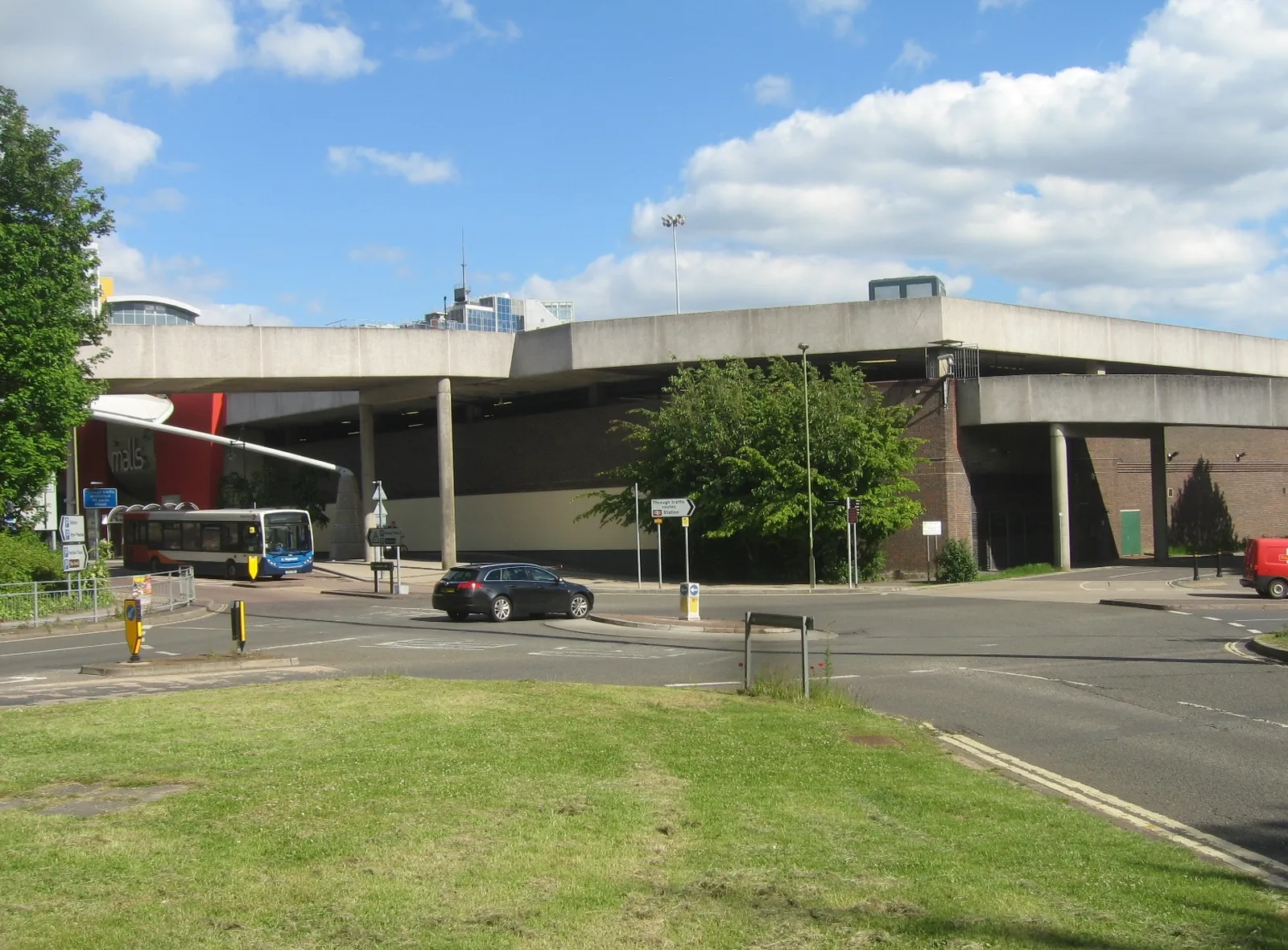
Basingstoke is in the area of Basingstoke and Deane Borough Council. It is a north Hampshire town around the Basingstoke Town Conservation Area and the Fairfields Conservation Area, quite unlike Andover to the west or Fleet and the Rushmoor towns to the east. The adopted Basingstoke and Deane Local Plan 2011-2029 applies here. The Basingstoke Town Conservation Area and the Fairfields Conservation Area are the official features that shape biodiversity net gain work here. Hampshire County Council is the Lead Local Flood Authority. There is no confirmed 2027 successor council for Hampshire.
In Basingstoke, including around the Basingstoke Town Conservation Area and at the Fairfields Conservation Area, the same adopted local plan policies apply. Basingstoke and Deane Borough Council applies the statutory 10 per cent biodiversity net gain minimum. Policy EM4 is the adopted policy for biodiversity, geodiversity and nature conservation. After the National Planning Policy Framework published on 17 August 2026, qualifying applications are assessed against the statutory 10 per cent minimum except on a justified site allocation. Confirm the current validation requirements with the council before submitting.
Local plan: Basingstoke and Deane Local Plan 2011-2029 (adopted)
EM4: Biodiversity, Geodiversity and Nature Conservation
Policy EM4 (Biodiversity, Geodiversity and Nature Conservation) of the Basingstoke and Deane Local Plan 2011-2029, adopted on 26 May 2016, is the adopted policy for biodiversity, geodiversity and nature conservation.
EM7: Managing Flood Risk
Policy EM7 (Managing Flood Risk) of the Basingstoke and Deane Local Plan 2011-2029, adopted on 26 May 2016, is the adopted policy for managing flood risk.
EM1: Landscape
Policy EM1 (Landscape) of the Basingstoke and Deane Local Plan 2011-2029, adopted on 26 May 2016, is the adopted landscape policy, including the protection of landscape features.
General guidance for biodiversity net gain (bng), not formal advice for your site.
Basingstoke and Deane Borough Council. Hampshire County Council is the Lead Local Flood Authority. There is no confirmed 2027 successor council for Hampshire.
A biodiversity net gain assessment in Basingstoke is often needed where development could affect habitats in the Basingstoke Town Conservation Area or at the Fairfields Conservation Area. Confirm the current validation requirements with the council.
Basingstoke and Deane Borough Council applies the statutory 10 per cent minimum. After the National Planning Policy Framework published on 17 August 2026, qualifying applications are assessed against that statutory minimum except on a justified site allocation. Confirm the current validation requirements with the council.
No other published town guides for this survey in the council area yet.