Featured partner
Recommended for Burgess Hill

ROAVR Group
Tree, ecology, flood risk and topographical surveys for planning applications.
4.9 Google rating
Get a quote
Local experts.
Featured partner
Recommended for Burgess Hill
Tree, ecology, flood risk and topographical surveys for planning applications.
4.9 Google rating
Local experts.
Environmental and ecological consultancy whose own contact page publishes its head…
Chartered landscape, ecology and arboricultural consultancy established in Worthing in…
Ecological consultancy whose own contact page publishes a Sussex headquarters at Unit 4,…
Independent ecology consultancy with its head office in Leatherhead, Surrey.
Biodiversity net gain in Burgess Hill needs to be measured where development could affect habitats in the Silverdale Road / Birchwood Grove Road Conservation Area or around the Fairfield Conservation Area. Mid Sussex District Council is the local planning authority. Mid Sussex District Council applies the statutory 10 per cent biodiversity net gain minimum. Policy DP38 seeks to conserve and enhance biodiversity, but the council has not adopted a higher than statutory standard. After the National Planning Policy Framework published on 17 August 2026, qualifying applications are assessed against the statutory 10 per cent minimum except on a justified site allocation. Habitats in the Silverdale Road / Birchwood Grove Road Conservation Area and around the Fairfield Conservation Area can support bats, birds and other protected species. Confirm the current validation requirements with the council before submitting.
Local planning authority: Mid Sussex District Council
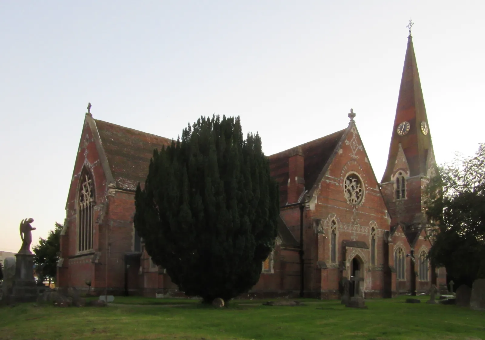
Burgess Hill is in the area of Mid Sussex District Council. It is a Mid Sussex town around the Silverdale Road / Birchwood Grove Road Conservation Area and the Fairfield Conservation Area, quite unlike Haywards Heath to the north or East Grinstead farther north in the same district. The Silverdale Road / Birchwood Grove Road Conservation Area and the Fairfield Conservation Area are the official features that shape biodiversity net gain work here. West Sussex County Council is the Lead Local Flood Authority. There is no confirmed 2027 successor council for West Sussex.
In Burgess Hill, including around the Silverdale Road / Birchwood Grove Road Conservation Area and around the Fairfield Conservation Area, the same adopted local plan policies apply. Mid Sussex District Council applies the statutory 10 per cent biodiversity net gain minimum. Policy DP38 seeks to conserve and enhance biodiversity, but the council has not adopted a higher than statutory standard. After the National Planning Policy Framework published on 17 August 2026, qualifying applications are assessed against the statutory 10 per cent minimum except on a justified site allocation. Confirm the current validation requirements with the council before submitting.
Local plan: Mid Sussex District Plan 2014–2031 (The Mid Sussex District Plan 2014–2031, adopted on 28 March 2018, is the statutory local plan as of 15 November 2026. The later Mid Sussex District Plan 2021–2039 remained under examination and had not been adopted as of that date.)
DP38: Biodiversity
Policy DP38 (Biodiversity) of the Mid Sussex District Plan 2014–2031 seeks to conserve and enhance biodiversity and to ensure that development avoids significant harm, or mitigates or compensates for it. The policy does not set a higher than statutory biodiversity net gain percentage.
General guidance for biodiversity net gain (bng), not formal advice for your site.
Mid Sussex District Council. West Sussex County Council is the Lead Local Flood Authority. There is no confirmed 2027 successor council for West Sussex.
Biodiversity net gain in Burgess Hill needs to be measured where development could affect habitats in the Silverdale Road / Birchwood Grove Road Conservation Area or around the Fairfield Conservation Area. Confirm the current validation requirements with the council.
Mid Sussex District Council applies the statutory 10 per cent biodiversity net gain minimum. Policy DP38 seeks to conserve and enhance biodiversity, but the council has not adopted a higher than statutory standard. After the National Planning Policy Framework published on 17 August 2026, qualifying applications are assessed against the statutory 10 per cent minimum except on a justified site allocation. Confirm the current validation requirements with the council.