Featured partner
Recommended for Bushey

ROAVR Group
Tree, ecology, flood risk and topographical surveys for planning applications.
4.9 Google rating
Get a quote
Local experts.
Featured partner
Recommended for Bushey
Tree, ecology, flood risk and topographical surveys for planning applications.
4.9 Google rating
Local experts.
London-based ecological consultancy in Muswell Hill.
Environmental and ecology consultancy with a London office at Holyrood Street, near…
Environmental consultancy founded in 2004, with its head office on the Surrey Research…
Independent ecology consultancy with its head office in Leatherhead, Surrey.
Habitats in Watling Chase Community Forest, on the Metropolitan Green Belt edge, and in the Bushey Heath, The Lakes Conservation Area have to be measured carefully in a biodiversity net gain assessment in Bushey. The local planning authority is Hertsmere Borough Council. Policy CS12 of the Core Strategy, adopted on 16 January 2013, requires development to conserve and enhance the natural environment, including biodiversity and habitats. The adopted plan does not set a percentage above the later statutory 10 per cent duty. After the National Planning Policy Framework published on 17 August 2026, qualifying applications are assessed against the statutory 10 per cent minimum except on a justified site allocation.
Local planning authority: Hertsmere Borough Council
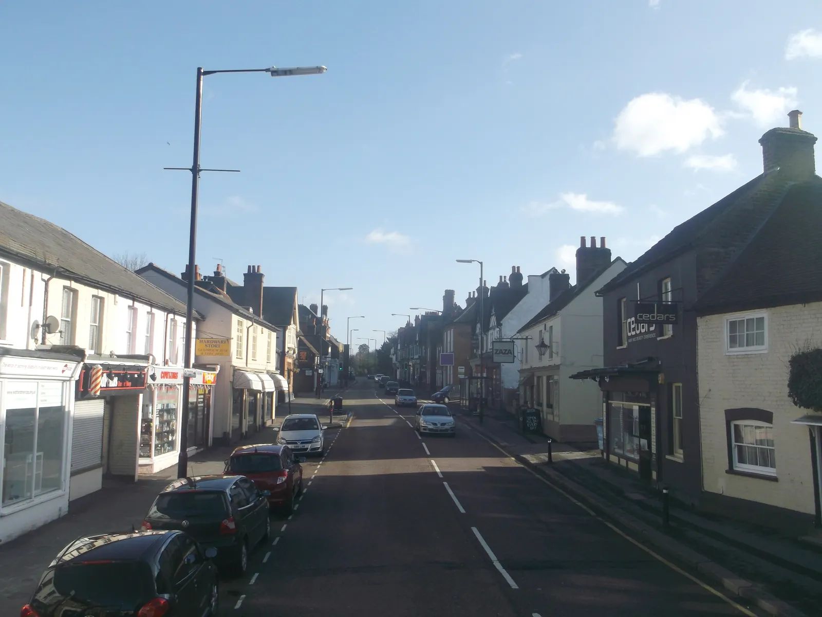
Bushey sits between Watford and Harrow, with Metropolitan Green Belt separating it from Borehamwood. Watling Chase Community Forest covers almost the entire borough. The Bushey Heath, The Lakes Conservation Area, which includes the Warren Estate, is a particular habitat setting on the south-east side of the town. Qualifying applications are assessed against the statutory 10 per cent minimum.
Hertsmere Borough Council applies the statutory biodiversity net gain duty under the Environment Act 2021, which requires a minimum 10 per cent net gain on qualifying applications, together with Policy CS12 of the Core Strategy, adopted on 16 January 2013, and Policy SADM10 of the SADM Policies Plan, adopted on 23 November 2016. After the National Planning Policy Framework published on 17 August 2026, qualifying applications are assessed against the statutory 10 per cent minimum except on a justified site allocation. Confirm the current validation requirements with the council before submitting.
Local plan: Hertsmere Local Plan 2012-2027 (Core Strategy, Site Allocations and Development Management Policies Plan, and Elstree Way Corridor Area Action Plan) (The Core Strategy was adopted on 16 January 2013, the Elstree Way Corridor Area Action Plan on 8 July 2015, and the Site Allocations and Development Management Policies Plan on 23 November 2016. These remain the adopted development plan as of 13 November 2026.)
CS12: The Enhancement of the Natural Environment
Requires all development proposals to conserve and enhance the natural environment of the borough, including biodiversity, habitats, protected trees, landscape character, and sites of ecological and geological value, and to provide opportunities for habitat creation and enhancement throughout the life of a development.
General guidance for biodiversity net gain (bng), not formal advice for your site.
Hertsmere Borough Council is the local planning authority.
Yes, on qualifying applications the statutory 10 per cent minimum applies. The adopted Hertsmere plan does not set a higher local percentage. After the National Planning Policy Framework published on 17 August 2026, qualifying applications are assessed against the statutory 10 per cent minimum except on a justified site allocation. Confirm the current validation requirements with the council.
It should include any habitat on or next to the site. The Bushey Heath, The Lakes Conservation Area, Watling Chase Community Forest and the Metropolitan Green Belt are the main habitat settings in Bushey. The metric still has to be applied to the site baseline.