Featured partner
Recommended for Cheshunt

ROAVR Group
Tree, ecology, flood risk and topographical surveys for planning applications.
4.9 Google rating
Get a quote
Local experts.
Featured partner
Recommended for Cheshunt
Tree, ecology, flood risk and topographical surveys for planning applications.
4.9 Google rating
Local experts.
London-based ecological consultancy in Muswell Hill.
Arboricultural and ecological consultancy trading as Tim Moya Associates from 2 The…
Environmental and ecology consultancy with a London office at Holyrood Street, near…
Environmental consultancy founded in 2004, with its head office on the Surrey Research…
Biodiversity net gain in Cheshunt needs to be measured where development could affect habitats in the Churchgate Conservation Area, at Cedars Park or around Cheshunt Old Pond. Broxbourne Borough Council applies the statutory biodiversity net gain duty under the Environment Act 2021, which requires a minimum 10 per cent net gain on qualifying applications, together with Policy NEB1 of the Broxbourne Local Plan 2018-2033, adopted on 23 June 2020, which seeks net gains to biodiversity wherever possible. After the National Planning Policy Framework published on 17 August 2026, qualifying applications are assessed against the statutory 10 per cent minimum except on a justified site allocation. Policy CH6 continues to protect Cedars Park as a historic and archaeological asset. Confirm the current validation requirements with the council before submitting.
Local planning authority: Broxbourne Borough Council
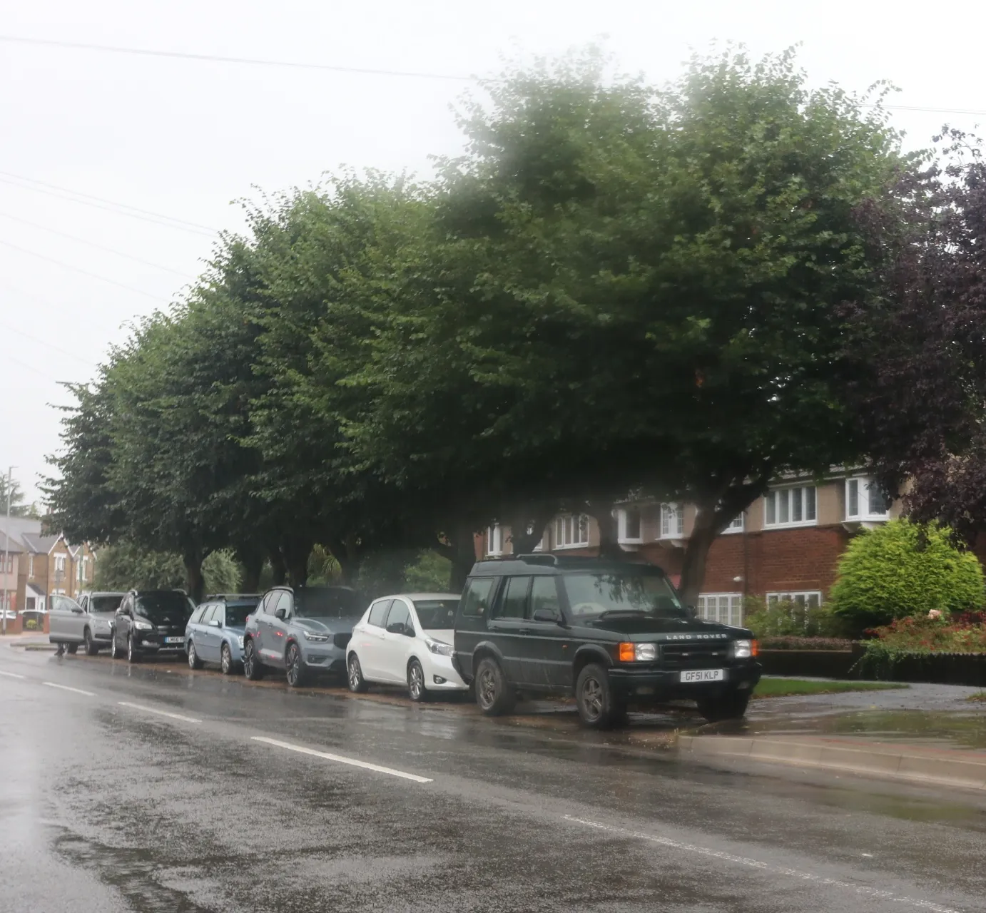
Cheshunt is the principal town in Broxbourne Borough Council, just north of the M25. The Churchgate Conservation Area, Cedars Park (Local Plan Policy CH6) and Cheshunt Old Pond (Policy CH3) are the official local features that distinguish it from Waltham Cross, which remains an area covered on this page, and from Enfield Town to the south. Hertfordshire County Council is the Lead Local Flood Authority. There is no confirmed 2027 successor council.
In Cheshunt, including around Churchgate Conservation Area and Cedars Park, the same adopted local plan policies apply. Broxbourne Borough Council applies the statutory biodiversity net gain duty under the Environment Act 2021, which requires a minimum 10 per cent net gain on qualifying applications, together with Policy NEB1 of the Broxbourne Local Plan 2018-2033, adopted on 23 June 2020, which seeks net gains to biodiversity wherever possible. After the National Planning Policy Framework published on 17 August 2026, qualifying applications are assessed against the statutory 10 per cent minimum except on a justified site allocation. Confirm the current validation requirements with the council before submitting.
Local plan: Broxbourne Local Plan 2018-2033 (adopted)
NEB1: General Strategy for Biodiversity
Development proposals will be expected to apply the mitigation hierarchy of avoidance, mitigation and compensation, and should result in net gains to biodiversity wherever possible. The policy does not set a percentage above the statutory 10 per cent biodiversity net gain duty.
General guidance for biodiversity net gain (bng), not formal advice for your site.
Broxbourne Borough Council is the local planning authority. Hertfordshire County Council is the Lead Local Flood Authority. There is no confirmed 2027 successor council.
The statutory 10 per cent biodiversity net gain duty applies to qualifying applications in Cheshunt, including around Churchgate Conservation Area and Cedars Park. After the National Planning Policy Framework published on 17 August 2026, qualifying applications are assessed against that statutory minimum except on a justified site allocation. Confirm the current validation requirements with the council.
No sourced adopted standard above 10 per cent applies in Broxbourne Borough Council. Qualifying applications are assessed against the statutory 10 per cent minimum except on a justified site allocation.