Featured partner
Recommended for Loughton

ROAVR Group
Tree, ecology, flood risk and topographical surveys for planning applications.
4.9 Google rating
Get a quote
Local experts.
Featured partner
Recommended for Loughton
Tree, ecology, flood risk and topographical surveys for planning applications.
4.9 Google rating
Local experts.
London-based ecological consultancy in Muswell Hill.
Environmental and ecology consultancy with a London office at Holyrood Street, near…
Environmental consultancy founded in 2004, with its head office on the Surrey Research…
London environmental consultancy based at Marshalsea Road, Southwark, formerly trading…
Habitats on the edge of Epping Forest SAC, in the York Hill Conservation Area, Staples Road Conservation Area and Baldwins Hill Conservation Area, and along the River Roding, have to be measured carefully in a biodiversity net gain assessment in Loughton. The local planning authority is Epping Forest District Council. Policy DM1 of the Local Plan 2011-2033, adopted on 6 March 2023, requires development to seek to deliver net biodiversity gain in addition to protecting existing habitats and species. The adopted plan does not set a percentage above the later statutory 10 per cent duty. After the National Planning Policy Framework published on 17 August 2026, qualifying applications are assessed against the statutory 10 per cent minimum except on a justified site allocation.
Local planning authority: Epping Forest District Council
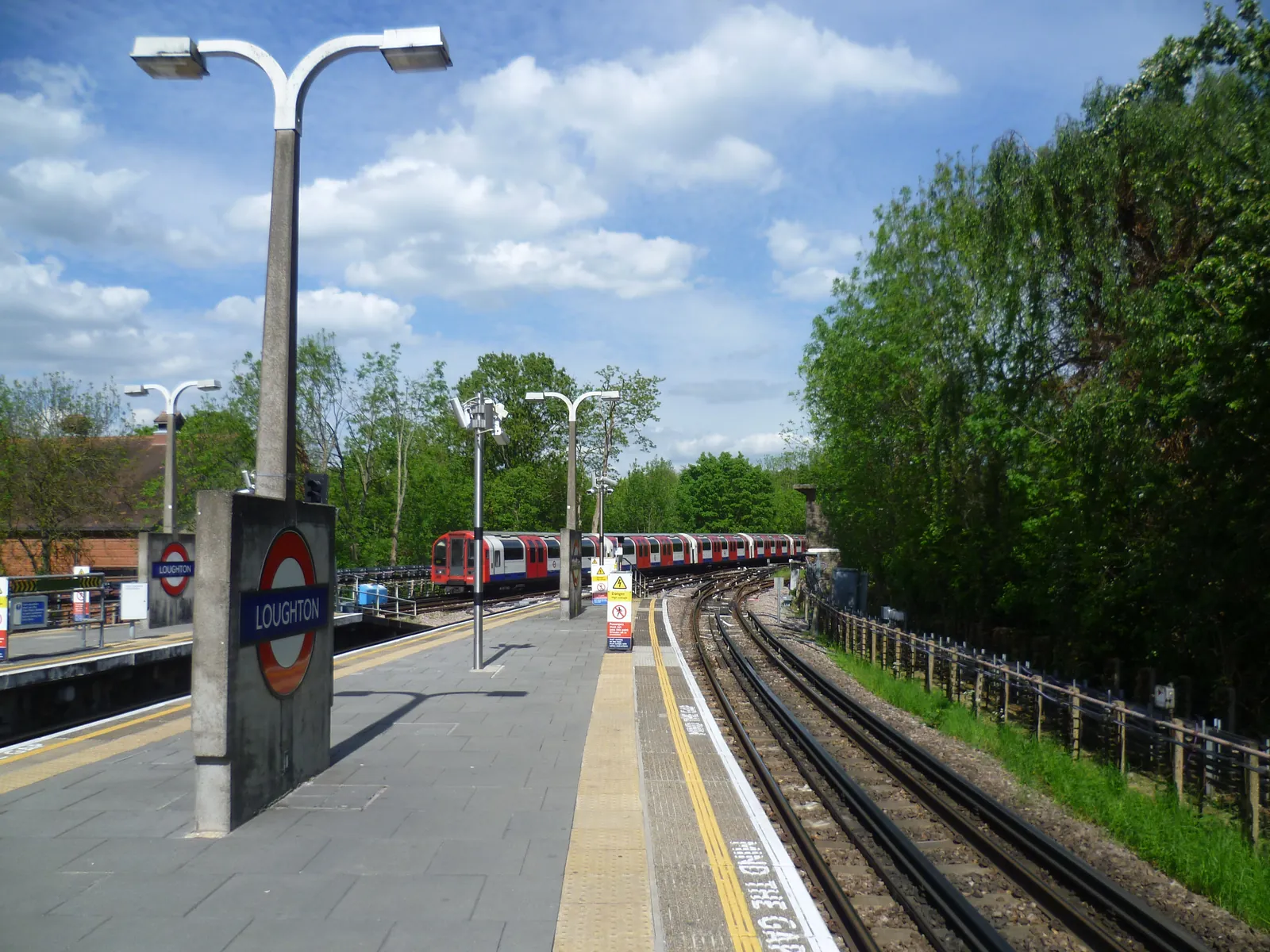
Epping Forest SAC is the defining ecological constraint at Loughton. Policy DM2 requires relevant development to ensure no adverse effect on the integrity of the SAC, which is a separate Habitats Regulations test from biodiversity net gain. Metropolitan Green Belt wraps the town. Qualifying applications are assessed against the statutory 10 per cent minimum.
Epping Forest District Council applies the statutory biodiversity net gain duty under the Environment Act 2021, which requires a minimum 10 per cent net gain on qualifying applications, together with Policy DM1 of the Local Plan 2011-2033, adopted on 6 March 2023. Policy DM2 still applies where there could be an effect on Epping Forest SAC. After the National Planning Policy Framework published on 17 August 2026, qualifying applications are assessed against the statutory 10 per cent minimum except on a justified site allocation. Confirm the current validation requirements with the council before submitting.
Local plan: Epping Forest District Local Plan 2011-2033 (Adopted on 6 March 2023 and still in force as of 13 November 2026.)
DM1: Habitat Protection and Improving Biodiversity
Requires all development to seek to deliver net biodiversity gain in addition to protecting existing habitats and species, to avoid harm to habitats, species and corridors, and not to permit significant impacts on internationally or nationally designated sites. The loss of irreplaceable habitats such as veteran trees and ancient woodland will not be permitted unless the need and benefits clearly outweigh the loss. Monitoring of mitigation, compensation and offsetting may be secured by condition.
General guidance for biodiversity net gain (bng), not formal advice for your site.
Epping Forest District Council is the local planning authority.
Yes, on qualifying applications the statutory 10 per cent minimum applies. Policy DM1 also seeks net biodiversity gain, but does not set a higher local percentage. Effects on Epping Forest SAC are assessed separately under Policy DM2. After the National Planning Policy Framework published on 17 August 2026, qualifying applications are assessed against the statutory 10 per cent minimum except on a justified site allocation. Confirm the current validation requirements with the council.
No. A net gain assessment still has to be done on qualifying sites, but Policy DM2 requires a separate conclusion of no adverse effect on the integrity of Epping Forest SAC. The York Hill Conservation Area, Staples Road Conservation Area and Baldwins Hill Conservation Area sit on the Forest edge, and the River Roding is a further habitat corridor.