Featured partner
Recommended for Ash

ROAVR Group
Tree, ecology, flood risk and topographical surveys for planning applications.
4.9 Google rating
Get a quote
Local experts.
Featured partner
Recommended for Ash
Tree, ecology, flood risk and topographical surveys for planning applications.
4.9 Google rating
Local experts.
Transport planning and infrastructure consultancy with its main office on North Street…
Flood risk consultancy based at Pyle Hill near Woking, on the northern edge of Guildford…
Transport and civil engineering consultancy with a Surrey office in Godalming and a…
Flood risk and drainage consultancy based in Crawley, working across England and Wales.
A flood risk and drainage assessment in Ash is often needed where development could be affected by flood risk around the Basingstoke Canal South Conservation Area or the Ash Manor. Guildford Borough Council is the local planning authority, and Surrey County Council is the Lead Local Flood Authority. The canal, the Blackwater Valley and surface water on low-lying streets in Ash and Ash Vale are the main flood considerations. Ash is a large Blackwater Valley settlement, with Ash Vale and Ash Green, quite separate from Guildford town on the Wey. A site-specific flood risk assessment and a drainage strategy are the usual documents. Confirm the current validation requirements with the council before submitting.
Local planning authority: Guildford Borough Council
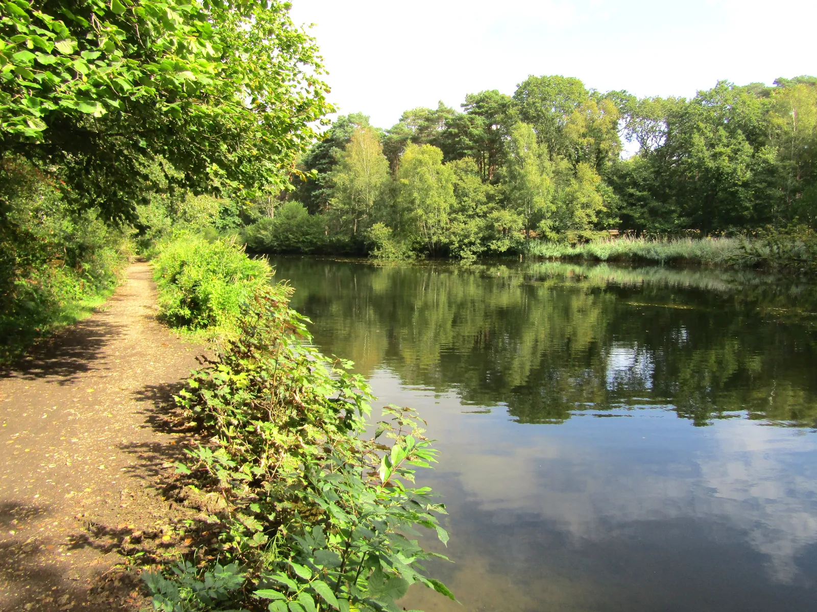
Ash is in the area of Guildford Borough Council. Ash is a large Blackwater Valley settlement, with Ash Vale and Ash Green, quite separate from Guildford town on the Wey. The Basingstoke Canal South Conservation Area and the Ash Manor are the official features that shape survey work here. Surrey County Council is the Lead Local Flood Authority. From 1 April 2027 planning powers pass to the new West Surrey unitary council under local government reorganisation.
In Ash, including around Basingstoke Canal South Conservation Area and Ash Manor, the same adopted local plan policies apply. Guildford Borough Council applies Policy P4 of the Local Plan: Strategy and Sites (2019): development in medium or high flood risk areas, including developed flood zone 3b, needs the sequential and exception tests where required and a site-specific FRA showing safe access and no increased risk elsewhere; undeveloped flood zone 3b is safeguarded. Every scheme must show no increase in surface water run-off and prioritise SuDS. Policy P11 of the Development Management Policies (2023) sets run-off standards, requires LLFA guidance to be followed and needs 1 metre between infiltration features and groundwater. The council requires an FRA for all sites in Flood Zones 2 and 3, and in Zone 1 where there are drainage problems, surface water risk, sites over 1 hectare or more vulnerable uses. Surrey County Council, as LLFA, comments on major schemes. Confirm the current validation requirements with the council before submitting.
Local plan: Guildford Borough Local Plan: Strategy and Sites (2019) and Development Management Policies (2023) (Adopted. A new-style Guildford Local Plan is being prepared (timetable published 5 June 2026; planned adoption 30 April 2029) and will replace both parts.)
P1: Surrey Hills Area of Outstanding Natural Beauty and Area of Great Landscape Value
Conserves and enhances the AONB, presumes against major development there, and protects its setting; the AGLV is kept until the AONB boundary review ends.
D1: Place shaping
Overarching design and place-making policy (not specific to surveys).
D13: The Corridor of The River Wey & Godalming Navigations
Development affecting the Navigations must conserve their character, setting, ecology and heritage and integrate flood mitigation sensitively.
D12: Light Impacts and Dark Skies
Lighting schemes need a Light Impact Assessment covering wildlife; light spill into habitats and buffers must be avoided; extra protection in darker parts of the Surrey Hills.
D20: Conservation Areas
Development in conservation areas must preserve or enhance their character (title verified; detailed wording not re-read for this pack).
ID4: Green and blue infrastructure
Protects SPAs/SACs, SSSIs, SNCIs and Local Nature Reserves; seeks biodiversity gains, especially in Biodiversity Opportunity Areas; protects watercourse corridors.
P10: Water Quality, Waterbodies and Riparian Corridors
No deterioration of waterbodies; an undeveloped buffer of at least 10m from the top of bank on both sides of a main river, with a Landscape and Ecological Management Plan; no new culverting.
P11: Sustainable Surface Water Management
Greenfield run-off rates for greenfield sites; as close as practicable on brownfield; maximise permeable surfaces; follow the SuDS hierarchy and Surrey LLFA guidance; infiltration needs 1m clearance above groundwater.
P2: Green Belt
Inappropriate development in the Metropolitan Green Belt is refused unless very special circumstances exist; defines how extensions and replacement buildings are judged.
P4: Flooding, flood risk and groundwater protection zones
Development in medium/high flood risk areas needs a site-specific FRA, sequential/exception tests and safe access; undeveloped flood zone 3b is safeguarded; all schemes must show no increase in run-off and prioritise SuDS; protects Source Protection Zones.
P5: Thames Basin Heaths Special Protection Area
No net new homes within 400m of the SPA; new homes within 400m–5km must provide SANG and SAMM; schemes of 50+ homes at 5–7km assessed case by case.
P6: Protecting Important Habitats and Species
Protects irreplaceable and priority habitats and species; where ancient woodland is in or next to a site, a BS5837 survey locating ancient/veteran trees and a buffer of at least 15m are required.
P7: Biodiversity in New Developments
The adopted policy text sought at least 20% biodiversity net gain using the national metric, with gains secured for 30+ years, maximum on-site gain and features for wildlife on buildings. Following the National Planning Policy Framework published on 17 August 2026 the statutory 10% minimum applies except where a higher figure is justified on a specific site allocation.
General guidance for flood risk and drainage assessment, not formal advice for your site.
Guildford Borough Council. From 1 April 2027 planning powers pass to the new West Surrey unitary council under local government reorganisation. Surrey County Council is the Lead Local Flood Authority.
A site-specific flood risk assessment is often needed where development could be affected by flood risk around the Basingstoke Canal South Conservation Area or the Ash Manor. The canal, the Blackwater Valley and surface water on low-lying streets in Ash and Ash Vale are the main flood considerations. Confirm the current validation requirements with the council.
Surrey County Council is the Lead Local Flood Authority.