Featured partner
Recommended for Bedford

ROAVR Group
Tree, ecology, flood risk and topographical surveys for planning applications.
4.9 Google rating
Get a quote
Local experts.
Featured partner
Recommended for Bedford
Tree, ecology, flood risk and topographical surveys for planning applications.
4.9 Google rating
Local experts.
Hitchin civil engineering consultancy.
Civil and structural engineering practice whose own site publishes a trading address at…
Civil and structural engineering consultancy whose own site publishes a consistent…
A flood risk assessment in Bedford is often needed where work could affect the Bedford Conservation Area, or the River Great Ouse. Bedford Borough Council is the local planning authority. Policy 92 directs development to areas at lowest flood risk, applies the sequential and exception tests, and requires all sources of flooding to be considered. It is the historic county town on the River Great Ouse around the official Bedford Conservation Area, quite unlike the Central Bedfordshire market towns to the south. The adopted Bedford Borough Local Plan 2030 applies here. Confirm the current validation requirements with the council before submitting.
Local planning authority: Bedford Borough Council
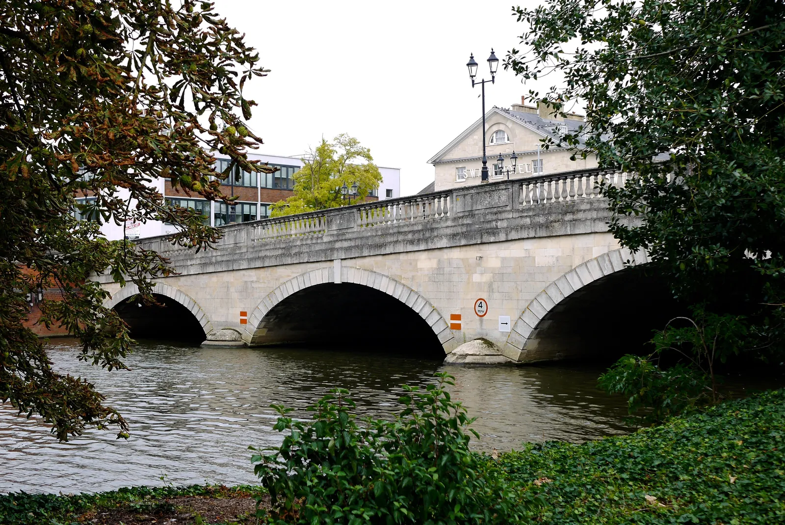
Bedford is in the area of Bedford Borough Council. It is the historic county town on the River Great Ouse around the official Bedford Conservation Area, quite unlike the Central Bedfordshire market towns to the south. The adopted Bedford Borough Local Plan 2030 applies here. The Bedford Conservation Area and the River Great Ouse are the official features that shape flood risk and drainage work here. Bedford Borough Council is the Lead Local Flood Authority. There is no confirmed successor council for Bedford Borough.
In Bedford, including around the Bedford Conservation Area and at the River Great Ouse, the same adopted local plan policies apply. Bedford Borough Council assesses flood risk and drainage under Policy 92 of the Bedford Borough Local Plan 2030. Policy 92 (Flood risk) of the Bedford Borough Local Plan 2030, adopted on 15 January 2020, provides that, in considering new development, water management and flood risk must be addressed by directing development to areas at lowest risk of flooding by applying the sequential test and, where necessary, the exception test, in line with national policy. Development will not be permitted in flood zone 3b unless defined as water compatible in table 2 of the Planning Practice Guidance, and will not be permitted in flood zone 3a unless defined as less vulnerable or water compatible. All sources of flooding must be considered, including fluvial, groundwater, surface water, reservoir overspill and infrastructure or sewer failure, and allowances for climate change must be included in the assessment of flood risk. Bedford Borough Council is the Lead Local Flood Authority. Confirm the current validation requirements with the council before submitting.
Local plan: Bedford Borough Local Plan 2030 (adopted)
39: Retention of trees
Policy 39 (Retention of trees) of the Bedford Borough Local Plan 2030, adopted on 15 January 2020, provides that, in considering proposals for development, applicants shall consider opportunities to retain trees of high amenity and environmental value, taking into consideration both their individual merit and their contribution as part of a group or broader landscape feature, and that existing trees on and immediately adjacent the development site shall be recorded following guidance in the relevant British Standard. Development applications shall provide details as to how the retained trees, hedges and hedge banks will be protected prior to, during and after development. The supporting text requires a detailed tree survey in accordance with the relevant British Standard and the Council's Tree Supplementary Planning Document, including an assessment of ancient and veteran trees.
42S: Protecting biodiversity and geodiversity
Policy 42S (Protecting biodiversity and geodiversity) of the Bedford Borough Local Plan 2030, adopted on 15 January 2020, requires planning applications to assess the impact of the proposal on the biodiversity and geodiversity value of the site and its surroundings, carried out by a suitably qualified professional in accordance with industry standards. A proposal which is likely to have an adverse effect on a Site of Special Scientific Interest or Natura 2000 site will not be permitted unless there are exceptional reasons that outweigh the harm to the site. Development should be designed to prevent any adverse impact on locally important sites, species and habitats of principal importance contained within the Natural Environment and Rural Communities Act 2006, with mitigation where an adverse impact is unavoidable. The policy does not set a higher than statutory biodiversity net gain percentage. Bedford Borough Council applies the statutory 10 per cent minimum.
43: Enhancing biodiversity
Policy 43 (Enhancing biodiversity) of the Bedford Borough Local Plan 2030, adopted on 15 January 2020, provides that development proposals should provide a net increase in biodiversity through enhancement of the existing features on the site, the creation of additional habitats on the site, or the linking of existing habitats to create links between ecological networks and, where possible, with adjoining features. The policy does not set a higher than statutory biodiversity net gain percentage. Bedford Borough Council applies the statutory 10 per cent minimum.
92: Flood risk
Policy 92 (Flood risk) of the Bedford Borough Local Plan 2030, adopted on 15 January 2020, provides that, in considering new development, water management and flood risk must be addressed by directing development to areas at lowest risk of flooding by applying the sequential test and, where necessary, the exception test, in line with national policy. Development will not be permitted in flood zone 3b unless defined as water compatible in table 2 of the Planning Practice Guidance, and will not be permitted in flood zone 3a unless defined as less vulnerable or water compatible. All sources of flooding must be considered, including fluvial, groundwater, surface water, reservoir overspill and infrastructure or sewer failure, and allowances for climate change must be included in the assessment of flood risk.
General guidance for flood risk and drainage assessment, not formal advice for your site.
Bedford Borough Council. Bedford Borough Council is the Lead Local Flood Authority. There is no confirmed successor council for Bedford Borough.
A flood risk assessment in Bedford is often needed for development in or near the Bedford Conservation Area or the River Great Ouse, including sites in flood risk areas or above the national size thresholds. Confirm the current validation requirements with the council.
Bedford Borough Council is the Lead Local Flood Authority. There is no confirmed successor council for Bedford Borough.
No other published town guides for this survey in the council area yet.