Featured partner
Recommended for Canvey Island

ROAVR Group
Tree, ecology, flood risk and topographical surveys for planning applications.
4.9 Google rating
Get a quote
Local experts.
Featured partner
Recommended for Canvey Island
Tree, ecology, flood risk and topographical surveys for planning applications.
4.9 Google rating
Local experts.
Civil and environmental engineering consultancy with an office titled Essex at 1-2…
Civil and structural engineering practice with an Essex office at 8 Atlantic Square,…
Flood risk and drainage consultancy based in Crawley, working across England and Wales.
Transport and civil engineering consultancy with a South East office at Halford House, 2…
A flood risk assessment in Canvey Island is often needed at Canvey Wick SSSI or at Holehaven Creek SSSI, and on other sites at risk of flooding from rivers, the sea, surface water or other sources. Castle Point Borough Council is the local planning authority. The saved Castle Point Borough Local Plan is applied together with the National Planning Policy Framework, which directs development away from areas at risk of flooding by using the sequential and, where necessary, exception tests. Canvey Island is a defended tidal island, and flood risk, sea defences and residual risk are material considerations for development. Confirm the current validation requirements with the council before submitting.
Local planning authority: Castle Point Borough Council
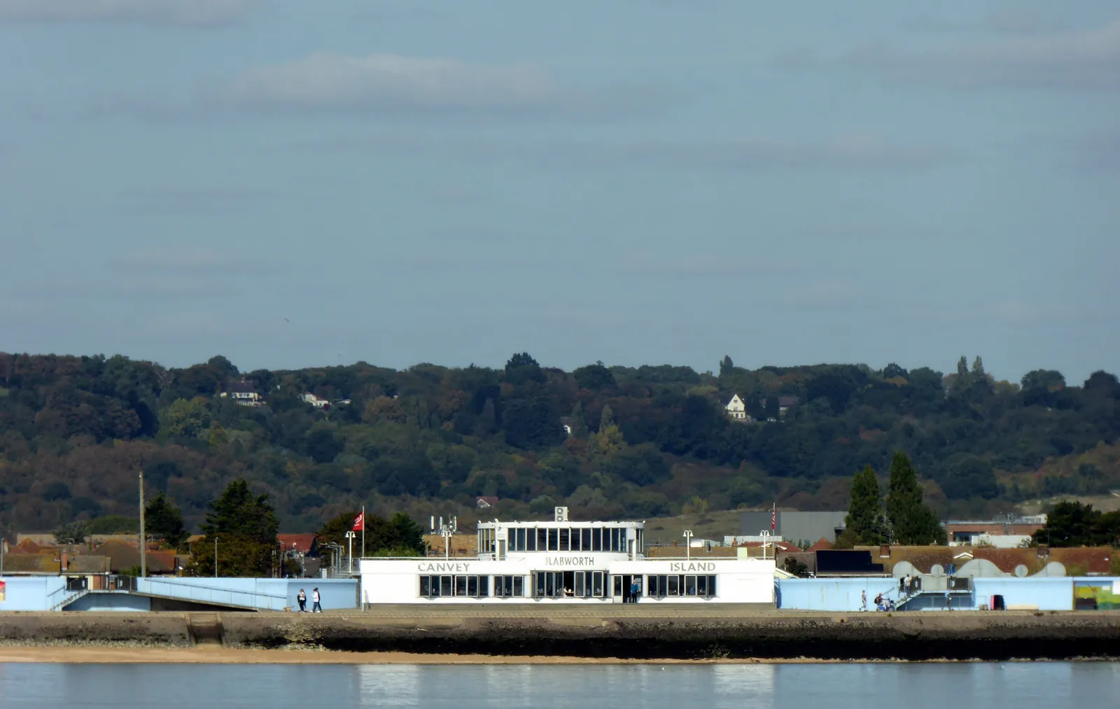
Canvey Island is in the area of Castle Point Borough Council. It is a tidal island in the Thames Estuary, quite unlike the inland towns of south Essex or the seaside city of Southend-on-Sea, standing behind sea defences, with two official Sites of Special Scientific Interest at Canvey Wick and Holehaven Creek. The Canvey Wick SSSI and the Holehaven Creek SSSI are the official features that shape flood risk and drainage work here. Essex County Council is the Lead Local Flood Authority. There is no confirmed 2027 successor council for Essex.
In Canvey Island, including at Canvey Wick SSSI and at Holehaven Creek SSSI, the same adopted local plan policies apply. Castle Point Borough Council assesses flood risk and drainage under national policy, applied with the saved development plan of the Castle Point Borough Local Plan 1998 (saved policies). The saved Castle Point Borough Local Plan is applied together with the National Planning Policy Framework, which directs development away from areas at risk of flooding by using the sequential and, where necessary, exception tests. Canvey Island is a defended tidal island, and flood risk, sea defences and residual risk are material considerations for development. Confirm the current validation requirements with the council before submitting.
Local plan: Castle Point Borough Local Plan 1998 (saved policies) (The Castle Point Borough Local Plan, adopted on 17 November 1998, remains the statutory development plan as of 15 November 2026 through saved policies. A replacement local plan had not been adopted.)
EC12: Sites of Special Scientific Interest
Policy EC12 (Sites of Special Scientific Interest) says development which would adversely affect notified Sites of Special Scientific Interest or National Nature Reserves will be refused.
EC13: Protection of Wildlife and their Habitats
Policy EC13 (Protection of Wildlife and their Habitats) says the Council will refuse development which is prejudicial to the interests of all wildlife and the retention and management of important habitats.
EC22: Retention of Trees, Woodland and Hedgerows
Policy EC22 (Retention of Trees, Woodland and Hedgerows) says that in schemes for new development, existing trees, hedgerows and woods shall be retained wherever possible. Where development takes place, loss of trees, hedgerows or woodland should be addressed in the scheme.
General guidance for flood risk and drainage assessment, not formal advice for your site.
Castle Point Borough Council. Essex County Council is the Lead Local Flood Authority. There is no confirmed 2027 successor council for Essex.
A flood risk assessment in Canvey Island is often needed at Canvey Wick SSSI or at Holehaven Creek SSSI, and on other sites at risk of flooding from rivers, the sea, surface water or other sources. Confirm the current validation requirements with the council.
The saved Castle Point Borough Local Plan is applied together with the National Planning Policy Framework, which directs development away from areas at risk of flooding by using the sequential and, where necessary, exception tests. Canvey Island is a defended tidal island, and flood risk, sea defences and residual risk are material considerations for development. Confirm the current validation requirements with the council.
No other published town guides for this survey in the council area yet.