Featured partner
Recommended for Chorleywood

ROAVR Group
Tree, ecology, flood risk and topographical surveys for planning applications.
4.9 Google rating
Get a quote
Local experts.
Featured partner
Recommended for Chorleywood
Tree, ecology, flood risk and topographical surveys for planning applications.
4.9 Google rating
Local experts.
Transport planning and infrastructure consultancy with its main office on North Street…
Civil and structural engineering practice with a London office in Lambeth.
Flood risk consultancy based at Pyle Hill near Woking, on the northern edge of Guildford…
Flood risk and drainage consultancy based in Crawley, working across England and Wales.
Flood risk in Chorleywood is mainly assessed for surface water around the Chorleywood Common Conservation Area and the Chorleywood Station Estate Conservation Area. Three Rivers District Council applies the adopted Core Strategy and Development Management Policies on flood risk and drainage. Hertfordshire County Council is the Lead Local Flood Authority. The village sits on higher ground than the Colne and Chess confluence at Rickmansworth, but surface-water flow paths on the Common and in the Station Estate still need to be understood, and SuDS should be designed to suit that landscape. Confirm the current validation requirements with the council before submitting.
Local planning authority: Three Rivers District Council
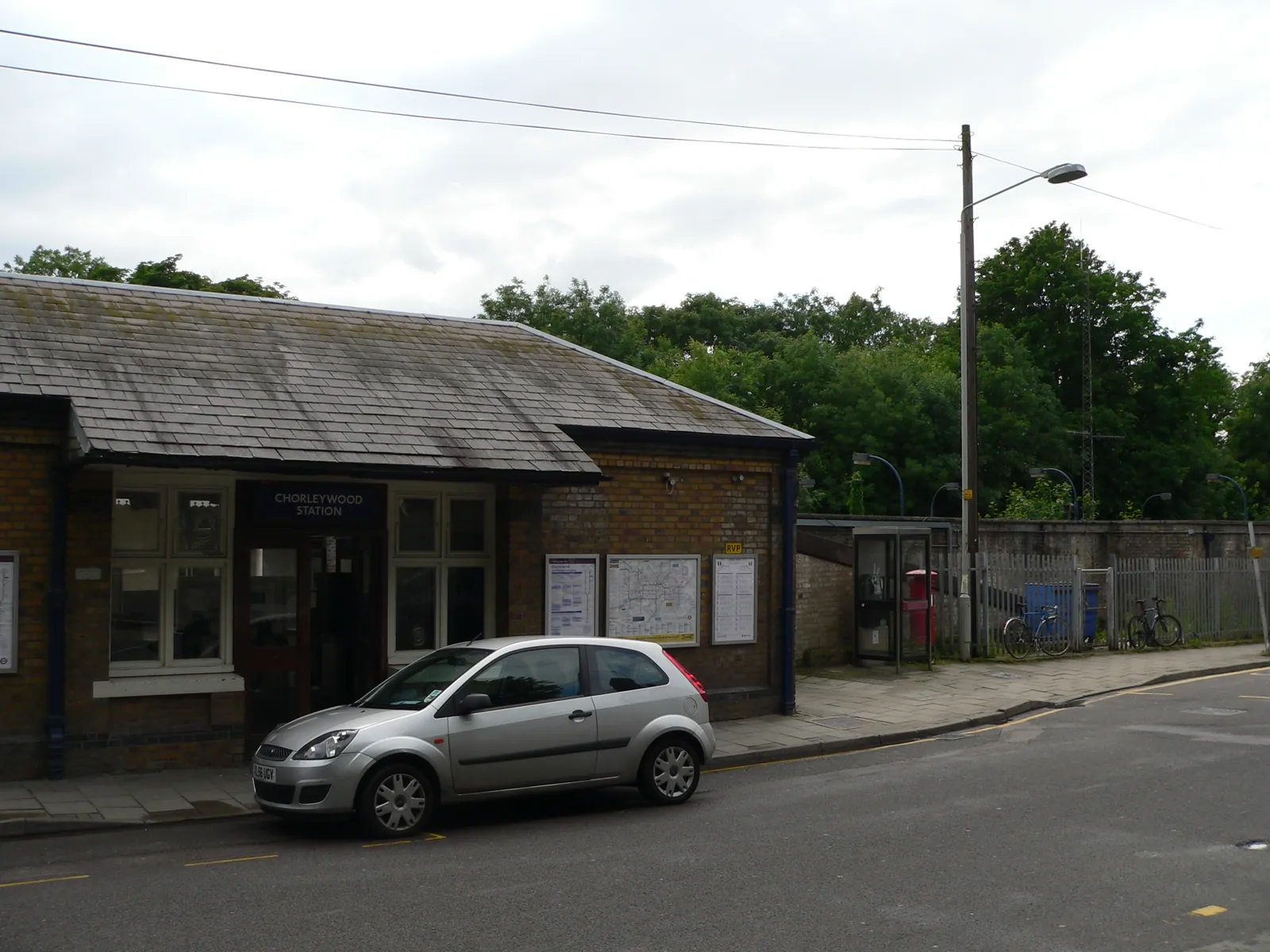
Chorleywood is a Three Rivers District Council village just north of the M25, distinct from Rickmansworth at the Colne, Chess and Gade confluence. The Chorleywood Common Conservation Area and the Chorleywood Station Estate Conservation Area are the official local designations. Hertfordshire County Council is the Lead Local Flood Authority. There is no confirmed 2027 successor council.
In Chorleywood, including around Chorleywood Common Conservation Area and Chorleywood Station Estate Conservation Area, the same adopted local plan policies apply. Three Rivers District Council assesses flood risk under Policy DM8 of the Development Management Policies Local Development Document, adopted on 26 July 2013. Development must be safe, must not unacceptably exacerbate risk elsewhere, and must satisfy national sequential and exception tests where they apply. Hertfordshire County Council is the Lead Local Flood Authority. Confirm the current validation requirements with the council before submitting.
Local plan: Three Rivers Local Plan (Core Strategy, Development Management Policies Local Development Document, and Site Allocations Local Development Document) (The Core Strategy was adopted on 17 October 2011, the Development Management Policies Local Development Document on 26 July 2013, and the Site Allocations Local Development Document on 25 November 2014. These remain the adopted development plan as of 13 November 2026.)
DM8: Flood Risk and Water Resources
Permits development only where it would not be subject to an unacceptable flood risk or unacceptably exacerbate risk elsewhere. New development is not permitted in Flood Zone 3b. A flood risk assessment is required for development of 1 hectare or more in Flood Zone 1, for all new development in Flood Zones 2 and 3, and in other SFRA-identified circumstances. Floor levels in Flood Zones 2 and 3 should be above the 1 per cent plus climate change level with at least 300 mm freeboard. Development in all areas should include SuDS. An 8 metre buffer is required from a main river and a 5 metre buffer from any other watercourse.
CP9: Green Infrastructure
Seeks a net gain in the quality and quantity of Green Infrastructure, focusing on the corridors of the Rivers Chess, Colne and Gade and the Grand Union Canal, the Chilterns AONB, the Colne Valley Park, and designated wildlife sites. Development must not compromise the integrity of the network by causing fragmentation, damage or isolation of assets.
DM6: Biodiversity, Trees, Woodlands, Watercourses and Landscaping
Requires development to result in no net loss of biodiversity value across the district. Adverse impacts on SSSIs, Local Nature Reserves, Local Wildlife Sites or protected species will not be permitted unless the need outweighs the harm and mitigation and compensation can maintain biodiversity. Existing trees and hedgerows should be retained, safeguarded to British Standards, and replaced if removal is permitted. Permission will be refused for loss or deterioration of protected woodland, including ancient woodland, and protected, aged or veteran trees, unless conditions can secure their protection. Development next to a watercourse should take account of the Water Framework Directive and the Thames River Basin Management Plan.
General guidance for flood risk and drainage assessment, not formal advice for your site.
Three Rivers District Council is the local planning authority. Hertfordshire County Council is the Lead Local Flood Authority. There is no confirmed 2027 successor council.
Adopted flood risk policies apply where a site is at risk from surface water or other sources, including around the Chorleywood Common Conservation Area and the Chorleywood Station Estate Conservation Area, or could increase risk elsewhere. Confirm the current validation requirements with the council.
Surface water is the usual issue around the Chorleywood Common Conservation Area and the Chorleywood Station Estate Conservation Area, because the village sits above the river confluence at Rickmansworth. All sources should still be considered, and sustainable drainage should be designed to suit the Common and the Station Estate.