Featured partner
Recommended for City of London

ROAVR Group
Tree, ecology, flood risk and topographical surveys for planning applications.
4.9 Google rating
Get a quote
Local experts.
Featured partner
Recommended for City of London
Tree, ecology, flood risk and topographical surveys for planning applications.
4.9 Google rating
Local experts.
Transport planning and infrastructure consultancy with its main office on North Street…
Civil and structural engineering practice with a London office in Lambeth.
Transport and civil engineering consultancy with a Surrey office in Godalming and a…
Civil and structural engineering consultancy whose London office is in Sutton town centre.
The southern edge of the Square Mile, including sites toward the River Thames and some plots around Bank and in the setting of St Paul's Cathedral, falls within the City Flood Risk Area, covering Environment Agency Flood Zones 2 and 3 and surface water flood risk hotspots. The City of London Corporation requires a flood risk assessment for all planning applications in that area, and for major development elsewhere, and expects development in the City Flood Risk Area to seek a reduction in flood risk compared with the existing situation. Riverside schemes must protect and allow for maintenance of flood defences. Surface water should be managed through the London Plan drainage hierarchy and SuDS designed for the City's dense underground conditions.
Local planning authority: City of London Corporation
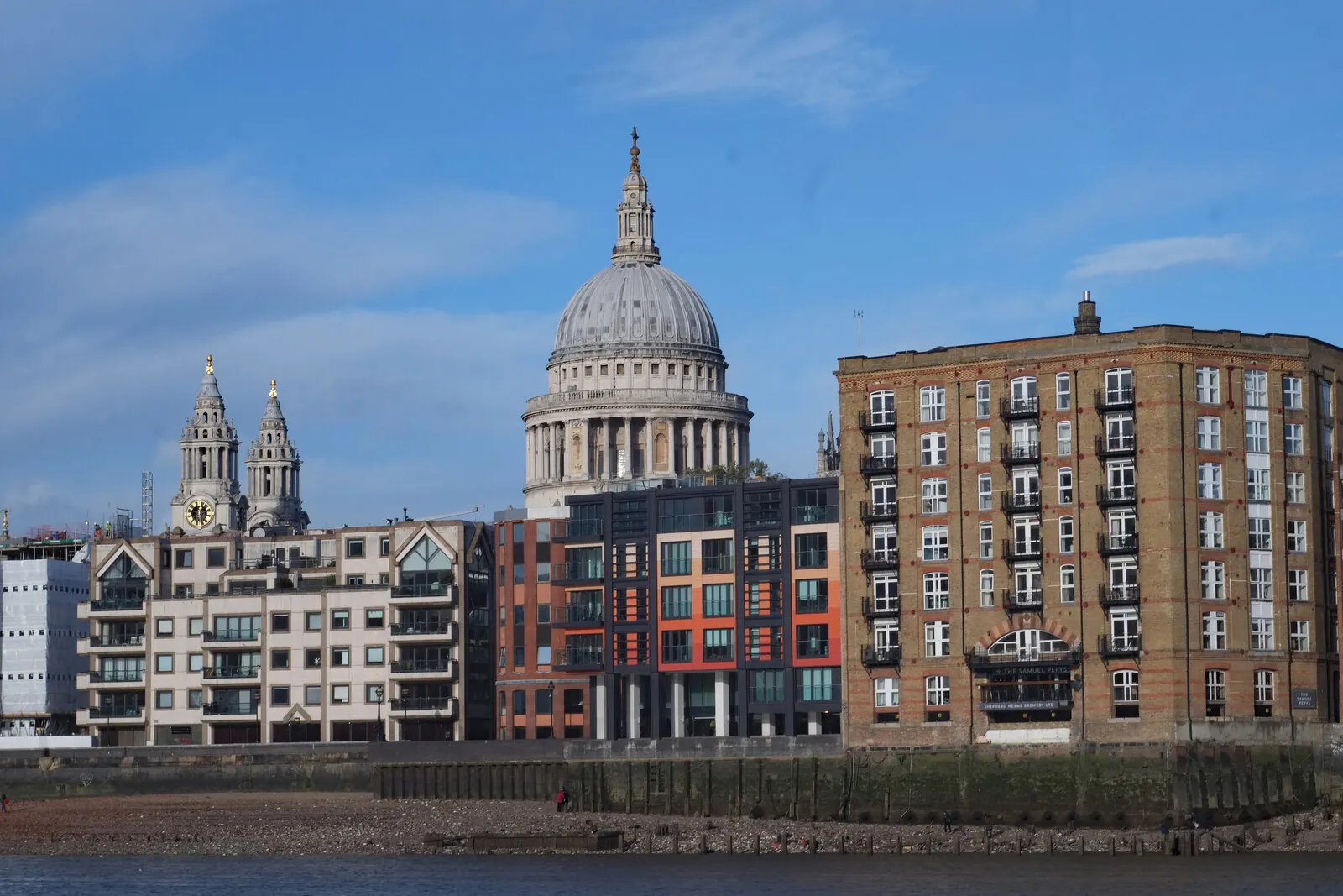
Sites toward the River Thames, and some plots around Bank and in the setting of St Paul's Cathedral, may lie in the City Flood Risk Area. Surface water flood risk hotspots and basement or major schemes elsewhere in the Square Mile can also trigger a flood risk assessment.
The City of London Corporation assesses flood risk and drainage under Core Strategic Policy CS18 and Policy DM18.2 of the City of London Local Plan, adopted on 15 January 2015, read with London Plan Policies SI12 and SI13. Confirm the current local validation requirements with the council before submitting.
Local plan: City of London Local Plan (The City of London Local Plan was adopted on 15 January 2015 and remains the adopted local plan. City Plan 2040 has been examined and is recommended for adoption by the Court of Common Council on 3 December 2026, to take effect on 4 December 2026, but it is not yet adopted. The London Plan, published on 2 March 2021, also forms part of the development plan. There is no 2027 successor council for the City of London.)
DM18.2: Sustainable drainage systems (SuDS)
Policy DM18.2 requires the design of the surface water drainage system to be integrated into the design of proposed buildings or landscaping where feasible and practical, and to follow the SuDS management train and London Plan drainage hierarchy. SuDS designs must take account of the City's archaeological heritage, complex underground utilities, transport infrastructure and other underground structures, incorporating suitable elements for the City's high density urban situation. SuDS should be designed, where possible, to maximise contributions to water resource efficiency, biodiversity enhancement and the provision of multifunctional open spaces.
CS19: Open Spaces and Recreation
Core Strategic Policy CS19 of the City of London Local Plan, adopted on 15 January 2015, seeks to increase the amount and quality of open spaces and green infrastructure while enhancing biodiversity. It includes protecting the amenity value of trees and retaining and planting more trees wherever practicable, increasing the biodiversity value of open spaces with particular attention to sites of importance for nature conservation such as the River Thames, and encouraging high quality green roofs, roof gardens and terraces.
DM19.2: Biodiversity and urban greening
Policy DM19.2 requires developments to promote biodiversity and contribute to urban greening by incorporating green roofs and walls, soft landscaping and trees; features for wildlife such as nesting boxes and beehives; a planting mix which encourages biodiversity; planting which will be resilient to a range of climate conditions; and maintenance of habitats within Sites of Importance for Nature Conservation. Supporting text requires that where existing green infrastructure is disturbed, removed or damaged as a result of development, it must be replaced with good quality urban greening. There should be no net loss of green infrastructure, and existing trees should be replaced with trees of an equivalent size and quality. The policy does not set a biodiversity net gain percentage above the statutory 10 per cent minimum.
CS18: Flood Risk
Core Strategic Policy CS18 seeks to ensure that the City remains at low risk from all types of flooding. Development in the City Flood Risk Area should seek opportunities to deliver a reduction in flood risk compared with the existing situation. Flood Risk Assessments must be submitted in support of all planning applications in the City Flood Risk Area, which comprises Environment Agency Flood Zones 2 and 3 and surface water flood risk hotspots, and for major development proposals elsewhere. Existing flood defences along the riverside must be protected and enhanced, and development adjacent to the River Thames must be designed to allow for maintenance of flood defences. Surface water flood risk should be reduced by applying the London Plan drainage hierarchy and by using suitable Sustainable Drainage Systems such as green roofs and rainwater attenuation throughout the City.
General guidance for flood risk and drainage assessment, not formal advice for your site.
The City of London Corporation. The London Plan also forms part of the development plan. The City Corporation is the Lead Local Flood Authority. There is no 2027 successor council for the City of London.
The City of London Corporation. It is also the local planning authority. The London Plan forms part of the development plan. There is no 2027 successor council for the City of London.
Yes. The London Plan, published on 2 March 2021, forms part of the development plan. Policies SI12 and SI13 are the London Plan flood risk and sustainable drainage policies.
No other published town guides for this survey in the council area yet.