Featured partner
Recommended for Colchester

ROAVR Group
Tree, ecology, flood risk and topographical surveys for planning applications.
4.9 Google rating
Get a quote
Local experts.
Featured partner
Recommended for Colchester
Tree, ecology, flood risk and topographical surveys for planning applications.
4.9 Google rating
Local experts.
Civil and environmental engineering consultancy with an office titled Essex at 1-2…
Civil and structural engineering practice with an Essex office at 8 Atlantic Square,…
Flood risk and drainage consultancy based in Crawley, working across England and Wales.
Civil and structural engineering consultancy with its head office at 847 The Crescent,…
A flood risk assessment in Colchester is often needed in the Colchester Town Centre Conservation Area or along the River Colne, and on other sites at risk of flooding from rivers, the sea, surface water or other sources. Colchester City Council is the local planning authority. Policy DM23 seeks to direct development away from land at risk of flooding and requires proposals to meet national flood-management requirements, remain safe for their lifetime, and include at-source sustainable drainage measures where there is a net increase in impermeable area. It is a historic walled city in north-east Essex, quite unlike the mid-Essex county town or the coastal resorts farther east, with the castle precinct and the Dutch Quarter in the historic core and the River Colne running through the town. Confirm the current validation requirements with the council before submitting.
Local planning authority: Colchester City Council
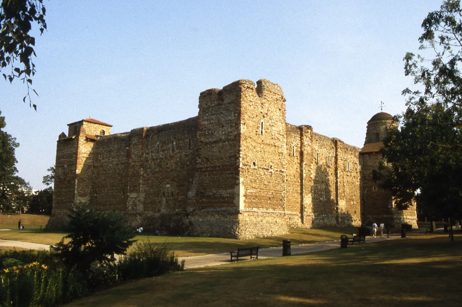
Colchester is in the area of Colchester City Council. It is a historic walled city in north-east Essex, quite unlike the mid-Essex county town or the coastal resorts farther east, with the castle precinct and the Dutch Quarter in the historic core and the River Colne running through the town. The Colchester Town Centre Conservation Area and the River Colne are the official features that shape flood risk and drainage work here. Essex County Council is the Lead Local Flood Authority. There is no confirmed 2027 successor council for Essex.
In Colchester, including around the Colchester Town Centre Conservation Area and along the River Colne, the same adopted local plan policies apply. Colchester City Council assesses flood risk and drainage under Policy DM23 of the Colchester Local Plan 2017-2033. Policy DM23 seeks to direct development away from land at risk of flooding and requires proposals to meet national flood-management requirements, remain safe for their lifetime, and include at-source sustainable drainage measures where there is a net increase in impermeable area. Confirm the current validation requirements with the council before submitting.
Local plan: Colchester Local Plan 2017-2033 (The Colchester Local Plan 2017-2033 is the statutory development plan as of 15 November 2026. Section 1 was adopted in February 2021 and Section 2 was adopted in July 2022.)
ENV1: Environment
Policy ENV1 (Environment) says the Local Planning Authority will conserve and enhance Colchester’s natural and historic environment, countryside and coastline, and will safeguard the Borough’s biodiversity, geology, history and archaeology through the protection and enhancement of sites of international, national, regional and local importance. Development proposals that have adverse effects on the integrity of habitats sites, Sites of Special Scientific Interest or significant adverse impacts on the special qualities of the Dedham Vale Area of Outstanding Natural Beauty (including its setting) will not be supported. Contributions will be secured from qualifying residential development towards the Essex Coast Recreational disturbance Avoidance and Mitigation Strategy.
CC1: Climate Change
Policy CC1 (Climate Change) says that, in addressing the move to a low carbon future, the Local Planning Authority will plan for new development in locations and ways that reduce greenhouse gas emissions and provide resilience to the impacts of a changing climate, including by encouraging design and construction techniques which use landform, layout, building orientation, massing, tree planting and landscaping to minimise energy consumption and provide resilience to a changing climate.
DM23: Flood Risk and Water Management
Policy DM23 (Flood Risk and Water Management) says the Local Planning Authority will seek to direct development away from land at risk of flooding in accordance with the National Planning Policy Framework and the Planning Practice Guidance. Development will only be supported where it can be demonstrated that the proposal meets flood management requirements in the NPPF, the PPG and Policy DM23. Development proposals will be required to deliver or contribute to flood defence, protection or mitigation measures so that the development remains safe throughout its life, and to include at-source sustainable drainage measures where there is a net increase in impermeable area.
General guidance for flood risk and drainage assessment, not formal advice for your site.
Colchester City Council. Essex County Council is the Lead Local Flood Authority. There is no confirmed 2027 successor council for Essex.
A flood risk assessment in Colchester is often needed in the Colchester Town Centre Conservation Area or along the River Colne, and on other sites at risk of flooding from rivers, the sea, surface water or other sources. Confirm the current validation requirements with the council.
Policy DM23 seeks to direct development away from land at risk of flooding and requires proposals to meet national flood-management requirements, remain safe for their lifetime, and include at-source sustainable drainage measures where there is a net increase in impermeable area. Confirm the current validation requirements with the council.
No other published town guides for this survey in the council area yet.