Featured partner
Recommended for Crawley

ROAVR Group
Tree, ecology, flood risk and topographical surveys for planning applications.
4.9 Google rating
Get a quote
Local experts.
Featured partner
Recommended for Crawley
Tree, ecology, flood risk and topographical surveys for planning applications.
4.9 Google rating
Local experts.
Flood risk and drainage consultancy based in Crawley, working across England and Wales.
Transport planning and infrastructure consultancy with its main office on North Street…
Transport planning and infrastructure consultancy based at Lion House, Oriental Road in…
Flood risk consultancy based at Pyle Hill near Woking, on the northern edge of Guildford…
A flood risk assessment in Crawley is often needed in the High Street Conservation Area or around the Queens Square and The Broadway Conservation Area, and on other sites at risk of flooding from rivers, the sea, surface water or other sources. Crawley Borough Council is the local planning authority. Policy EP1 is the adopted Crawley policy for flood risk assessments and sustainable drainage, including the sequential test and, where required, the exception test. It is a planned post-war new town immediately south of Gatwick Airport, with the historic High Street Conservation Area and the later Queens Square and The Broadway Conservation Area at its centre, quite unlike market-town Horsham to the south-west. Confirm the current validation requirements with the council before submitting.
Local planning authority: Crawley Borough Council
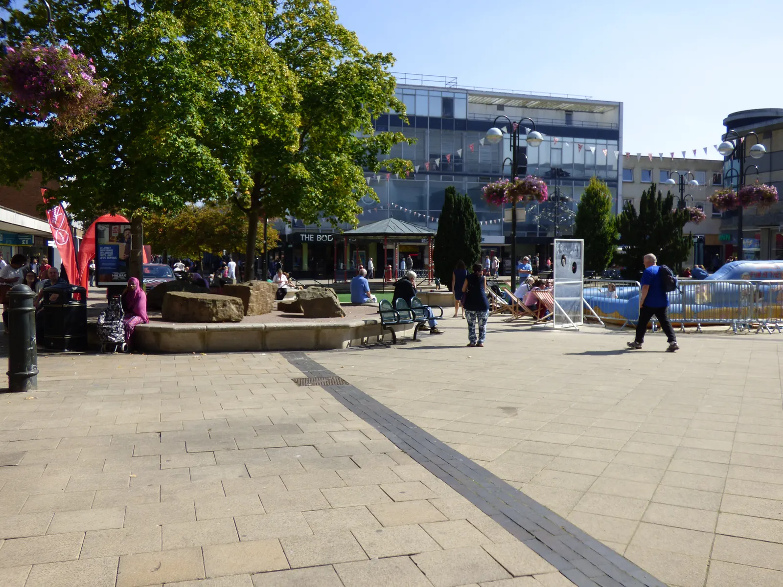
Crawley is in the area of Crawley Borough Council. It is a planned post-war new town immediately south of Gatwick Airport, with the historic High Street Conservation Area and the later Queens Square and The Broadway Conservation Area at its centre, quite unlike market-town Horsham to the south-west. The High Street Conservation Area and the Queens Square and The Broadway Conservation Area are the official features that shape flood risk and drainage work here. West Sussex County Council is the Lead Local Flood Authority. There is no confirmed 2027 successor council for West Sussex.
In Crawley, including around the High Street Conservation Area and around the Queens Square and The Broadway Conservation Area, the same adopted local plan policies apply. Crawley Borough Council assesses flood risk and drainage under Policy EP1 of the Crawley Borough Local Plan 2023–2040. Policy EP1 is the adopted Crawley policy for flood risk assessments and sustainable drainage, including the sequential test and, where required, the exception test. Confirm the current validation requirements with the council before submitting.
Local plan: Crawley Borough Local Plan 2023–2040 (The Crawley Borough Local Plan 2023–2040, adopted on 16 October 2024, is the statutory local plan as of 15 November 2026. A later local plan had not been adopted as of that date.)
EP1: Development and Flood Risk
Policy EP1 (Development and Flood Risk) of the Crawley Borough Local Plan 2023–2040 is the adopted policy for flood risk assessments and sustainable drainage, including the sequential test and, where required, the exception test.
GI3: Biodiversity and Net Gain
Policy GI3 (Biodiversity and Net Gain) requires a 10 per cent increase in habitat value compared with the pre-development baseline, in line with government expectations, and requires residential development to include at least one new tree, or equivalent soft landscaping, per new dwelling. The council has not adopted a higher than statutory biodiversity net gain percentage.
General guidance for flood risk and drainage assessment, not formal advice for your site.
Crawley Borough Council. West Sussex County Council is the Lead Local Flood Authority. There is no confirmed 2027 successor council for West Sussex.
A flood risk assessment in Crawley is often needed in the High Street Conservation Area or around the Queens Square and The Broadway Conservation Area, and on other sites at risk of flooding from rivers, the sea, surface water or other sources. Confirm the current validation requirements with the council.
Policy EP1 is the adopted Crawley policy for flood risk assessments and sustainable drainage, including the sequential test and, where required, the exception test. Confirm the current validation requirements with the council.
No other published town guides for this survey in the council area yet.