Featured partner
Recommended for Egham

ROAVR Group
Tree, ecology, flood risk and topographical surveys for planning applications.
4.9 Google rating
Get a quote
Local experts.
Featured partner
Recommended for Egham
Tree, ecology, flood risk and topographical surveys for planning applications.
4.9 Google rating
Local experts.
Flood risk and drainage consultancy based in Crawley, working across England and Wales.
Flood risk consultancy based at Pyle Hill near Woking, on the northern edge of Guildford…
Transport planning and infrastructure consultancy with its main office on North Street…
Transport planning and infrastructure consultancy based at Lion House, Oriental Road in…
Egham Hythe sits on the undefended floodplain of the River Thames, and Policy EE13 also safeguards land for the River Thames Scheme channel through the borough. A flood risk assessment and drainage strategy should show whether a proposal will be safe, avoid increasing flood risk elsewhere, and manage surface water, usually with sustainable drainage. The local planning authority is Runnymede Borough Council, and Surrey County Council is the Lead Local Flood Authority. Policy EE13 of the Runnymede 2030 Local Plan, adopted on 16 July 2020, applies the sequential test and requires a site-specific flood risk assessment in Flood Zones 2 and 3, on sites over 1 hectare in Flood Zone 1, or on a dry island.
Local planning authority: Runnymede Borough Council
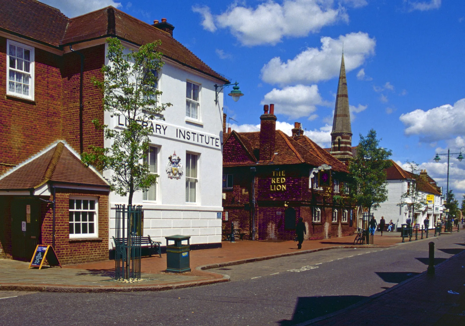
The 2030 Local Plan records that Runnymede is one of the highest-risk boroughs in the Lower Thames, with more than 5,000 properties at risk in a 1 per cent annual probability event, and that the Thames between Datchet and Teddington is the largest area of developed floodplain in England without flood defences. Major recorded floods include 1898, 1947, 1968, 2003 and late 2013 to early 2014. Egham, Staines-upon-Thames and Chertsey are named communities that the River Thames Scheme is intended to help. Low-lying streets at Egham Hythe, Hythe End, The Causeway and Pooley Green lie in Environment Agency flood warning areas covering Bell Weir and East Egham. An official Storm Henk Annex A investigation for Egham could not be retrieved from the guessed Surrey County Council URLs during research for these drafts, so street-level January 2024 detail is not restated here pending the official file.
Runnymede Borough Council assesses flood risk under Policy EE13 of the Runnymede 2030 Local Plan, adopted on 16 July 2020, together with national policy and the council's Strategic Flood Risk Assessment. Policy EE13 guides development to the lowest risk from all sources, requires a site-specific flood risk assessment in Flood Zones 2 and 3, on sites over 1 hectare in Flood Zone 1, or on a dry island, and requires SuDS unless they are demonstrated to be inappropriate. For at least one net additional dwelling, or 250 sq m of other floorspace, development must not impede flood flow, reduce floodplain storage, or cause or worsen flooding. Land that may be required for the River Thames Scheme is safeguarded. Confirm current Environment Agency maps, the SFRA and local validation requirements with the council before submitting.
Local plan: Runnymede 2030 Local Plan (Adopted on 16 July 2020 and still in force. The council adopted a timetable for a new Local Plan on 25 February 2026, with issues and options scoping consultation from 7 September to 12 October 2026; the new plan had not been adopted as of 13 November 2026.)
EE13: Managing Flood Risk
Guides development to the lowest flood risk from all sources through the sequential test, with a sequential approach to site layout and the exception test where national policy requires it. A site-specific flood risk assessment is required in Flood Zone 2, Flood Zone 3, on sites over 1 ha in Flood Zone 1, or on a dry island (all types except minor development on a dry island). Development must consider climate change and, where practical, flood resilience and resistance. For at least one net additional dwelling, or 250 sq m of other floorspace, development must not impede flood flow, reduce floodplain storage, or cause or worsen flooding. SuDS are required unless demonstrated to be inappropriate. Land required for the River Thames Scheme is safeguarded.
EE10: Thames Basin Heaths Special Protection Area
No additional residential development within 400 m of the SPA. Non-residential development within 400 m may require Appropriate Assessment. All additional residential development beyond 400 m but within 5 km must provide adequate avoidance measures, generally SANG and SAMM.
EE12: Blue Infrastructure
Protects and enhances rivers and other waterbodies, including buffers, deculverting and fish passage, and requires SuDS designs to take account of wildlife.
EE1: Townscape and Landscape Quality
Requires development to respect and enhance townscape and landscape quality, including the setting of the River Thames and historic landscapes around Egham.
General guidance for flood risk and drainage assessment, not formal advice for your site.
Runnymede Borough Council is the local planning authority. Surrey County Council is the Lead Local Flood Authority. From 1 April 2027 planning powers pass to the new West Surrey unitary council under local government reorganisation.
Policy EE13 requires a site-specific flood risk assessment for development in Flood Zone 2, Flood Zone 3, on sites over 1 hectare in Flood Zone 1, or on a dry island (all types of development except minor development on a dry island). Confirm the current SFRA and validation requirements with the council.
A partnership project, supported and safeguarded by Policy EE13, to reduce flood risk on the undefended Thames floodplain between Datchet and Teddington, including a flood channel through Runnymede in sections between Egham Hythe and Chertsey. It does not remove the need for a site-specific flood risk assessment.