Featured partner
Recommended for Grays

ROAVR Group
Tree, ecology, flood risk and topographical surveys for planning applications.
4.9 Google rating
Get a quote
Local experts.
Featured partner
Recommended for Grays
Tree, ecology, flood risk and topographical surveys for planning applications.
4.9 Google rating
Local experts.
Civil and environmental engineering consultancy with an office titled Essex at 1-2…
Civil and structural engineering practice with an Essex office at 8 Atlantic Square,…
Flood risk and drainage consultancy based in Crawley, working across England and Wales.
Transport and civil engineering consultancy with a South East office at Halford House, 2…
A flood risk assessment in Grays is often needed at Hangman's Wood and Deneholes SSSI or at Grays Thurrock Chalk Pit SSSI, and on other sites at risk of flooding from rivers, the sea, surface water or other sources. Thurrock Council is the local planning authority. Policy CSTP27 is the core strategic flood-risk policy and requires developers to prioritise sustainable drainage systems. Policy PMD15 requires a flood risk assessment where appropriate, and that development allowed exceptionally in areas of flood risk should provide wider sustainability benefits. It is the main town of the Thurrock unitary authority, on the Thames, quite unlike the historic market towns of mid-Essex, with two official Sites of Special Scientific Interest close to the town at Hangman's Wood and Deneholes and at Grays Thurrock Chalk Pit. Confirm the current validation requirements with the council before submitting.
Local planning authority: Thurrock Council
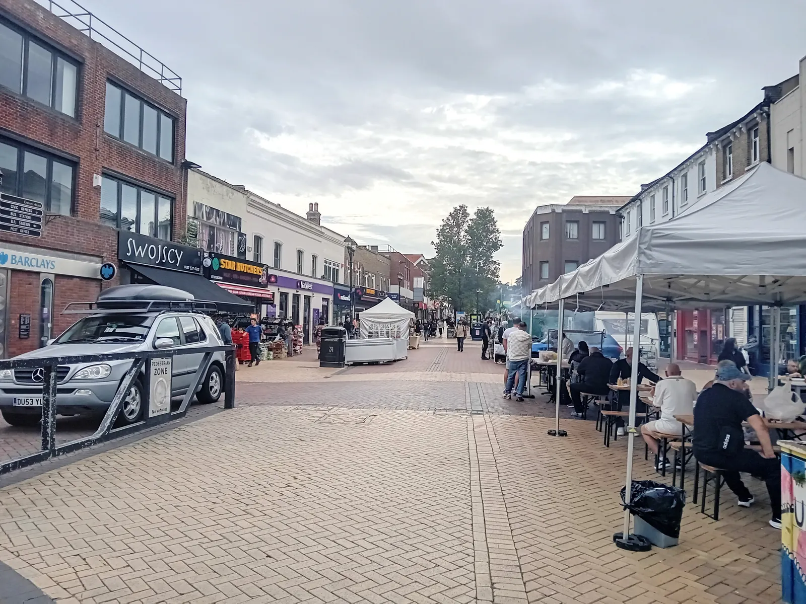
Grays is in the area of Thurrock Council. It is the main town of the Thurrock unitary authority, on the Thames, quite unlike the historic market towns of mid-Essex, with two official Sites of Special Scientific Interest close to the town at Hangman's Wood and Deneholes and at Grays Thurrock Chalk Pit. The Hangman's Wood and Deneholes SSSI and the Grays Thurrock Chalk Pit SSSI are the official features that shape flood risk and drainage work here. Thurrock Council is a unitary authority and is also the Lead Local Flood Authority. Thurrock Council is the unitary local planning authority.
In Grays, including at Hangman's Wood and Deneholes SSSI and at Grays Thurrock Chalk Pit SSSI, the same adopted local plan policies apply. Thurrock Council assesses flood risk and drainage under Policy CSTP27 and Policy PMD15 of the Thurrock Core Strategy and Policies for Management of Development (as amended). Policy CSTP27 is the core strategic flood-risk policy and requires developers to prioritise sustainable drainage systems. Policy PMD15 requires a flood risk assessment where appropriate, and that development allowed exceptionally in areas of flood risk should provide wider sustainability benefits. Confirm the current validation requirements with the council before submitting.
Local plan: Thurrock Core Strategy and Policies for Management of Development (as amended) (The Thurrock Core Strategy and Policies for Management of Development (as amended), adopted in January 2015, is the statutory development plan as of 15 November 2026. A replacement local plan had not been adopted.)
CSTP19: Biodiversity
Policy CSTP19 (Biodiversity) is the core strategic biodiversity policy of the adopted Thurrock Core Strategy. It seeks to protect and enhance biodiversity in the borough, including designated sites.
PMD7: Biodiversity, Geological Conservation and Development
Policy PMD7 (Biodiversity, Geological Conservation and Development) is a development management policy of the adopted Core Strategy, as amended in 2015, and introduces the achievement of net gains in biodiversity as an objective when considering development.
CSTP27: Management and Reduction of Flood Risk
Policy CSTP27 (Management and Reduction of Flood Risk) is the core strategic flood-risk policy of the adopted Core Strategy. The 2015 focused review requires developers to prioritise sustainable drainage systems.
PMD15: Flood Risk Assessment
Policy PMD15 (Flood Risk Assessment) requires a flood risk assessment where appropriate and, following the 2015 focused review, requires that development allowed exceptionally in areas of flood risk should provide wider sustainability benefits.
General guidance for flood risk and drainage assessment, not formal advice for your site.
Thurrock Council. Thurrock Council is a unitary authority and is also the Lead Local Flood Authority. Thurrock Council is the unitary local planning authority.
A flood risk assessment in Grays is often needed at Hangman's Wood and Deneholes SSSI or at Grays Thurrock Chalk Pit SSSI, and on other sites at risk of flooding from rivers, the sea, surface water or other sources. Confirm the current validation requirements with the council.
Policy CSTP27 is the core strategic flood-risk policy and requires developers to prioritise sustainable drainage systems. Policy PMD15 requires a flood risk assessment where appropriate, and that development allowed exceptionally in areas of flood risk should provide wider sustainability benefits. Confirm the current validation requirements with the council.
No other published town guides for this survey in the council area yet.