Featured partner
Recommended for Havant

ROAVR Group
Tree, ecology, flood risk and topographical surveys for planning applications.
4.9 Google rating
Get a quote
Local experts.
Featured partner
Recommended for Havant
Tree, ecology, flood risk and topographical surveys for planning applications.
4.9 Google rating
Local experts.
Civil engineering practice whose own contact page publishes a Southampton Office…
Consulting civil engineering practice whose own contact and services pages publish a…
Independent water engineering consultancy whose own site lists a Buckinghamshire office…
A flood risk assessment in Havant is often needed where work could affect the St Faith's Conservation Area, or the Chichester and Langstone Harbours Special Protection Area. Havant Borough Council is the local planning authority. Policy CS15 permits development in flood risk areas only where the sequential and exception tests are met and a site-specific flood risk assessment shows the development will be safe. It is a historic coastal-plain town around St Faith's Conservation Area and beside the Chichester and Langstone Harbours Special Protection Area, quite unlike Portsmouth to the south-west or Petersfield inland. The adopted Havant Borough Core Strategy applies here. Confirm the current validation requirements with the council before submitting.
Local planning authority: Havant Borough Council
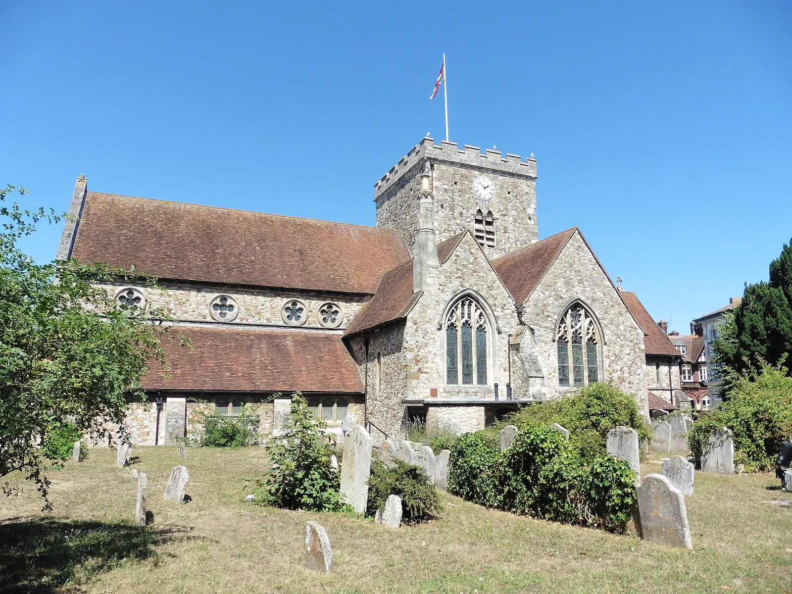
Havant is in the area of Havant Borough Council. It is a historic coastal-plain town around St Faith's Conservation Area and beside the Chichester and Langstone Harbours Special Protection Area, quite unlike Portsmouth to the south-west or Petersfield inland. The adopted Havant Borough Core Strategy applies here. The St Faith's Conservation Area and the Chichester and Langstone Harbours Special Protection Area are the official features that shape flood risk and drainage work here. Hampshire County Council is the Lead Local Flood Authority. There is no confirmed 2027 successor council for Hampshire.
In Havant, including around the St Faith's Conservation Area and at the Chichester and Langstone Harbours Special Protection Area, the same adopted local plan policies apply. Havant Borough Council assesses flood risk and drainage under Policy CS15 of the Havant Borough Core Strategy. Policy CS15 permits development in flood risk areas only where the sequential and exception tests are met and a site-specific flood risk assessment shows the development will be safe. Hampshire County Council is the Lead Local Flood Authority. Confirm the current validation requirements with the council before submitting.
Local plan: Havant Borough Core Strategy (adopted)
CS11: Protecting and Enhancing the Special Environment and Heritage of Havant Borough
Policy CS11 (Protecting and Enhancing the Special Environment and Heritage of Havant Borough) of the Havant Borough Core Strategy, adopted on 1 March 2011, grants planning permission for development that protects and where possible enhances designated landscape, habitats and features of biological, hydrological or geological interest, including by planting new trees and woodland, and that has particular regard to the hierarchy of international, national and local nature conservation designations.
CS15: Flood and Coastal Erosion Risk
Policy CS15 (Flood and Coastal Erosion Risk) of the Havant Borough Core Strategy, adopted on 1 March 2011, permits development in areas at risk of flooding only where it meets the sequential and exception tests, a site-specific flood risk assessment demonstrates that the development will be safe without increasing flood risk elsewhere, and there is no net increase in surface water run-off, with priority given to SuDS.
General guidance for flood risk and drainage assessment, not formal advice for your site.
Havant Borough Council. Hampshire County Council is the Lead Local Flood Authority. There is no confirmed 2027 successor council for Hampshire.
A flood risk assessment in Havant is often needed for development in or near the St Faith's Conservation Area or the Chichester and Langstone Harbours Special Protection Area, including sites in flood risk areas or above the national size thresholds. Confirm the current validation requirements with the council.
Hampshire County Council is the Lead Local Flood Authority. There is no confirmed 2027 successor council for Hampshire.
No other published town guides for this survey in the council area yet.