Featured partner
Recommended for Herne Bay

ROAVR Group
Tree, ecology, flood risk and topographical surveys for planning applications.
4.9 Google rating
Get a quote
Local experts.
Featured partner
Recommended for Herne Bay
Tree, ecology, flood risk and topographical surveys for planning applications.
4.9 Google rating
Local experts.
Maidstone planning and infrastructure consultancy.
Environmental consultancy trading as EPS, with a Kent office at Barham Business Park,…
Flood risk and drainage consultancy based in Crawley, working across England and Wales.
Environmental consultancy based in Pembury, Tunbridge Wells.
A flood risk and drainage assessment in Herne Bay is often needed where development could be affected by flood risk around the Herne Bay Conservation Area or Herne Bay Pier. Canterbury City Council is the local planning authority, and Kent County Council is the Lead Local Flood Authority. Coastal flood risk at Herne Bay Pier and surface water through the conservation area are the usual flood considerations. Herne Bay is a planned seaside town around the pier, quite unlike harbour-side Whitstable to the west and the cathedral city of Canterbury inland. A site-specific flood risk assessment and a drainage strategy are the usual documents. Confirm the current validation requirements with the council before submitting.
Local planning authority: Canterbury City Council
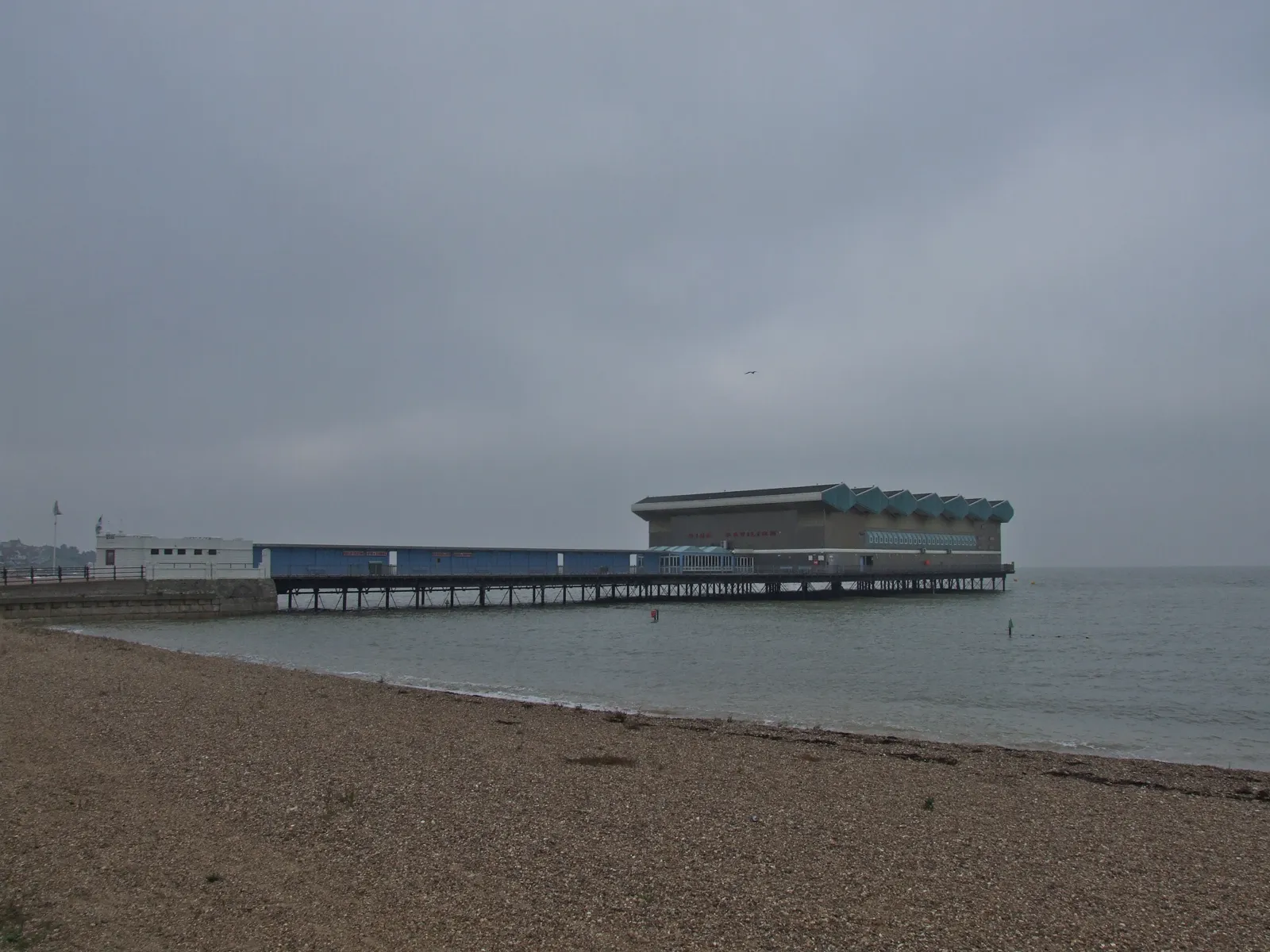
Herne Bay is in the area of Canterbury City Council. Herne Bay is a planned seaside town around the pier, quite unlike harbour-side Whitstable to the west and the cathedral city of Canterbury inland. Herne Bay Conservation Area and Herne Bay Pier are the official features that shape survey work here. Kent County Council is the Lead Local Flood Authority. There is no confirmed 2027 successor council for Kent.
In Herne Bay, including around Herne Bay Conservation Area and Herne Bay Pier, the same adopted local plan policies apply. Canterbury City Council assesses flood risk under Policy CC4 of the Canterbury District Local Plan, adopted in July 2017, which requires development not to increase flood risk and to consider flood zones and drainage. Kent County Council is the Lead Local Flood Authority. Confirm the current validation requirements with the council before submitting.
Local plan: Canterbury District Local Plan 2017 (The Canterbury District Local Plan was adopted in July 2017 and remains the adopted development plan as of 15 November 2026.)
CC4: Flood risk
Requires development not to increase flood risk, and proposals must consider flood zones and drainage, in line with national policy.
LB8: Biodiversity and ecological networks
Requires development to avoid habitat fragmentation and to support coherent biodiversity networks, including Biodiversity Opportunity Areas.
General guidance for flood risk and drainage assessment, not formal advice for your site.
Canterbury City Council. There is no confirmed 2027 successor council for Kent. Kent County Council is the Lead Local Flood Authority.
A site-specific flood risk assessment is often needed where development could be affected by flood risk around the Herne Bay Conservation Area or Herne Bay Pier. Coastal flood risk at Herne Bay Pier and surface water through the conservation area are the usual flood considerations. Confirm the current validation requirements with the council.
Kent County Council is the Lead Local Flood Authority.