Featured partner
Recommended for Hoddesdon

ROAVR Group
Tree, ecology, flood risk and topographical surveys for planning applications.
4.9 Google rating
Get a quote
Local experts.
Featured partner
Recommended for Hoddesdon
Tree, ecology, flood risk and topographical surveys for planning applications.
4.9 Google rating
Local experts.
Hertfordshire civil engineering and transport planning consultancy trading as EAS, with…
Consulting engineers with a St Albans office at Phoenix House, Campfield Road.
Hitchin civil engineering consultancy.
Flood risk and drainage consultancy based in Crawley, working across England and Wales.
A flood risk and drainage assessment in Hoddesdon is often needed where development could be affected by flood risk around the Hoddesdon Town Centre Conservation Area or the New River Conservation Area. Broxbourne Borough Council is the local planning authority, and Hertfordshire County Council is the Lead Local Flood Authority. The New River and surface water in the historic streets are the usual flood considerations. Hoddesdon is a market town around a historic High Street and the New River, quite unlike Cheshunt around Churchgate, Cedars Park and the Old Pond. A site-specific flood risk assessment and a drainage strategy are the usual documents. Confirm the current validation requirements with the council before submitting.
Local planning authority: Broxbourne Borough Council
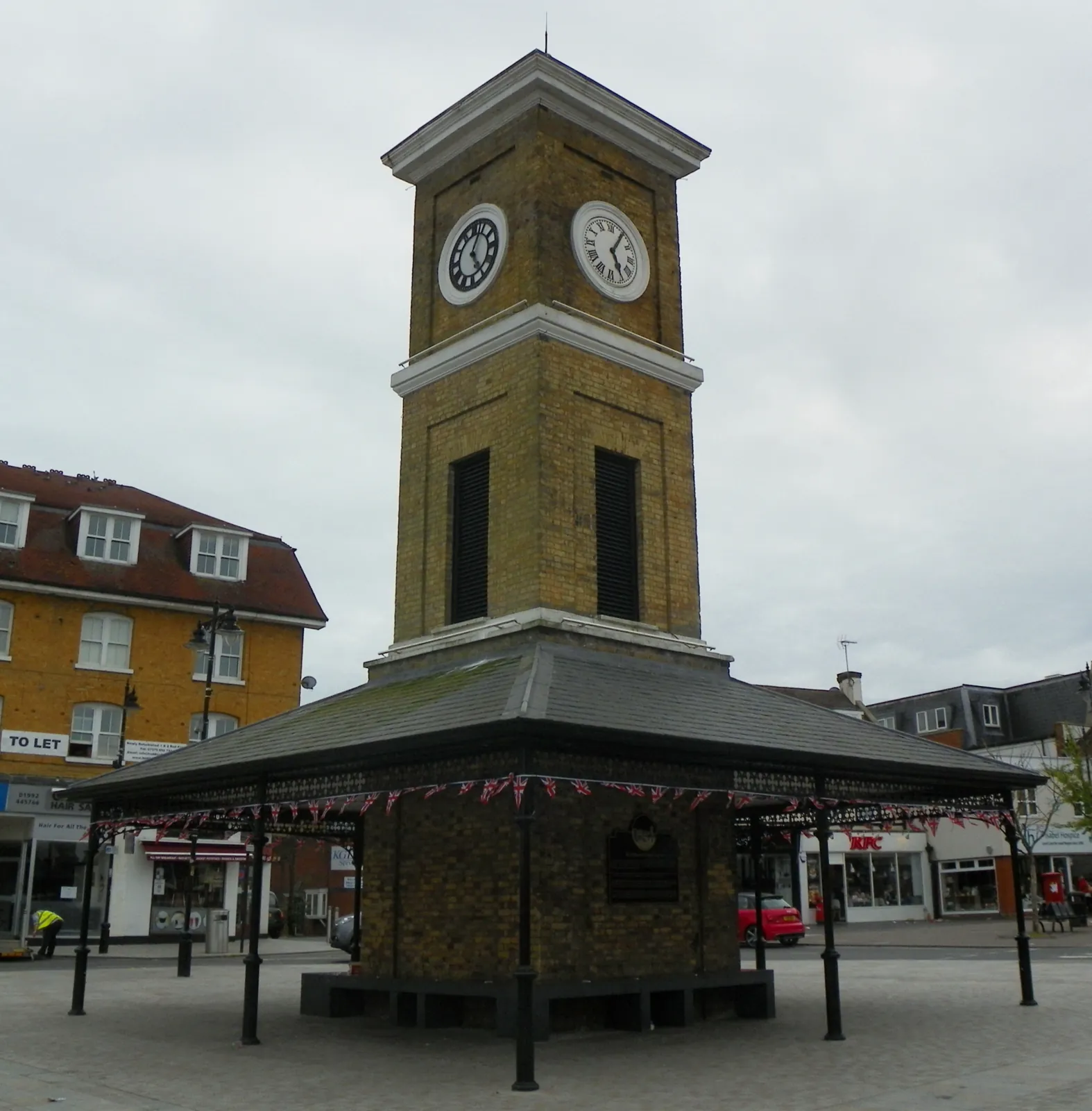
Hoddesdon is in the area of Broxbourne Borough Council. Hoddesdon is a market town around a historic High Street and the New River, quite unlike Cheshunt around Churchgate, Cedars Park and the Old Pond. The Hoddesdon Town Centre Conservation Area and the New River Conservation Area are the official features that shape survey work here. Hertfordshire County Council is the Lead Local Flood Authority. There is no confirmed 2027 successor council for Hertfordshire.
In Hoddesdon, including around Hoddesdon Town Centre Conservation Area and New River Conservation Area, the same adopted local plan policies apply. In, including around Conservation Area and, the same adopted local plan policies apply. Broxbourne Borough Council assesses flood risk and drainage under Policy W5 and Policy W4 of the Broxbourne Local Plan 2018-2033, adopted on 23 June 2020. Policy W5 protects the functional floodplain, overland flow routes and flood storage areas, and Policy W4 requires sustainable drainage. Hertfordshire County Council is the Lead Local Flood Authority. Confirm the current validation requirements with the council before submitting.
Local plan: Broxbourne Local Plan 2018-2033 (adopted)
W5: Flood Risk
The functional floodplain will be protected from development. Overland flow routes and flood storage areas will be protected. Proposals in areas at risk of flooding must pass the sequential test and, if necessary, the exception test, and must not increase flood risk elsewhere, impede flood flows unless by design, endanger river channel stability or reduce floodplain capacity.
W4: SuDS
Sustainable drainage systems should be designed to deliver multiple benefits, including water quality, biodiversity, amenity and recreation. Development should aim to achieve greenfield run-off rates, manage surface water close to its source, and follow the SuDS hierarchy.
NEB1: General Strategy for Biodiversity
Development proposals will be expected to apply the mitigation hierarchy of avoidance, mitigation and compensation, and should result in net gains to biodiversity wherever possible. The policy does not set a percentage above the statutory 10 per cent biodiversity net gain duty.
General guidance for flood risk and drainage assessment, not formal advice for your site.
Broxbourne Borough Council. There is no confirmed 2027 successor council for Hertfordshire. Hertfordshire County Council is the Lead Local Flood Authority.
A site-specific flood risk assessment is often needed where development could be affected by flood risk around the Hoddesdon Town Centre Conservation Area or the New River Conservation Area. The New River and surface water in the historic streets are the usual flood considerations. Confirm the current validation requirements with the council.
Hertfordshire County Council is the Lead Local Flood Authority.