Featured partner
Recommended for Horsham

ROAVR Group
Tree, ecology, flood risk and topographical surveys for planning applications.
4.9 Google rating
Get a quote
Local experts.
Featured partner
Recommended for Horsham
Tree, ecology, flood risk and topographical surveys for planning applications.
4.9 Google rating
Local experts.
Flood risk and drainage consultancy based in Crawley, working across England and Wales.
Transport planning and infrastructure consultancy with its main office on North Street…
Independent water engineering consultancy whose own site lists a Buckinghamshire office…
Transport planning and infrastructure consultancy based at Lion House, Oriental Road in…
A flood risk assessment in Horsham is often needed in the Horsham Conservation Area or around the Park Terrace Gardens Conservation Area, and on other sites at risk of flooding from rivers, the sea, surface water or other sources. Horsham District Council is the local planning authority. Policy 38 is the adopted Horsham District Planning Framework policy for flood risk and sustainable drainage, including the sequential approach to flood risk. It is a historic market town around the Horsham Conservation Area and the separate Park Terrace Gardens Conservation Area, quite unlike the planned new town of Crawley to the north-east. Confirm the current validation requirements with the council before submitting.
Local planning authority: Horsham District Council
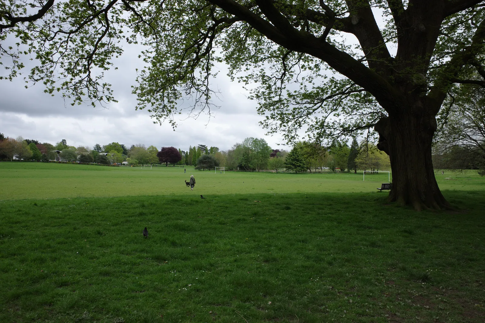
Horsham is in the area of Horsham District Council. It is a historic market town around the Horsham Conservation Area and the separate Park Terrace Gardens Conservation Area, quite unlike the planned new town of Crawley to the north-east. The Horsham Conservation Area and the Park Terrace Gardens Conservation Area are the official features that shape flood risk and drainage work here. West Sussex County Council is the Lead Local Flood Authority. There is no confirmed 2027 successor council for West Sussex.
In Horsham, including around the Horsham Conservation Area and around the Park Terrace Gardens Conservation Area, the same adopted local plan policies apply. Horsham District Council assesses flood risk and drainage under Policy 38 of the Horsham District Planning Framework. Policy 38 is the adopted Horsham District Planning Framework policy for flood risk and sustainable drainage, including the sequential approach to flood risk. Confirm the current validation requirements with the council before submitting.
Local plan: Horsham District Planning Framework (The Horsham District Planning Framework, adopted on 27 November 2015, is the statutory local plan as of 15 November 2026. The later Horsham District Local Plan 2023–2040 had not been adopted as of that date.)
38: Flooding
Policy 38 (Flooding) of the Horsham District Planning Framework is the adopted policy for flood risk and sustainable drainage, including the sequential approach to flood risk.
31: Green Infrastructure and Biodiversity
Policy 31 (Green Infrastructure and Biodiversity) of the Horsham District Planning Framework requires the retention and enhancement of trees, woodland, hedgerows and green infrastructure, including replacement planting where trees are lost, and seeks to conserve and enhance biodiversity. The policy does not set a higher than statutory biodiversity net gain percentage.
General guidance for flood risk and drainage assessment, not formal advice for your site.
Horsham District Council. West Sussex County Council is the Lead Local Flood Authority. There is no confirmed 2027 successor council for West Sussex.
A flood risk assessment in Horsham is often needed in the Horsham Conservation Area or around the Park Terrace Gardens Conservation Area, and on other sites at risk of flooding from rivers, the sea, surface water or other sources. Confirm the current validation requirements with the council.
Policy 38 is the adopted Horsham District Planning Framework policy for flood risk and sustainable drainage, including the sequential approach to flood risk. Confirm the current validation requirements with the council.
No other published town guides for this survey in the council area yet.