Featured partner
Recommended for Lymington

ROAVR Group
Tree, ecology, flood risk and topographical surveys for planning applications.
4.9 Google rating
Get a quote
Local experts.
Featured partner
Recommended for Lymington
Tree, ecology, flood risk and topographical surveys for planning applications.
4.9 Google rating
Local experts.
Civil engineering practice whose own contact page publishes a Southampton Office…
A flood risk assessment in Lymington is often needed where work could affect the Lymington Conservation Area, or the Lymington River. New Forest District Council is the local planning authority. The adopted Local Plan 2016-2036 Part One requires development to be planned so that it is safe from flood risk and manages surface water, in line with national policy. It is a harbour town around the Lymington Conservation Area and the Lymington River, quite unlike Southampton up the Water or Romsey inland, and outside the New Forest National Park where a different local planning authority applies. The adopted Local Plan 2016-2036 Part One: Planning Strategy applies here. Confirm the current validation requirements with the council before submitting.
Local planning authority: New Forest District Council
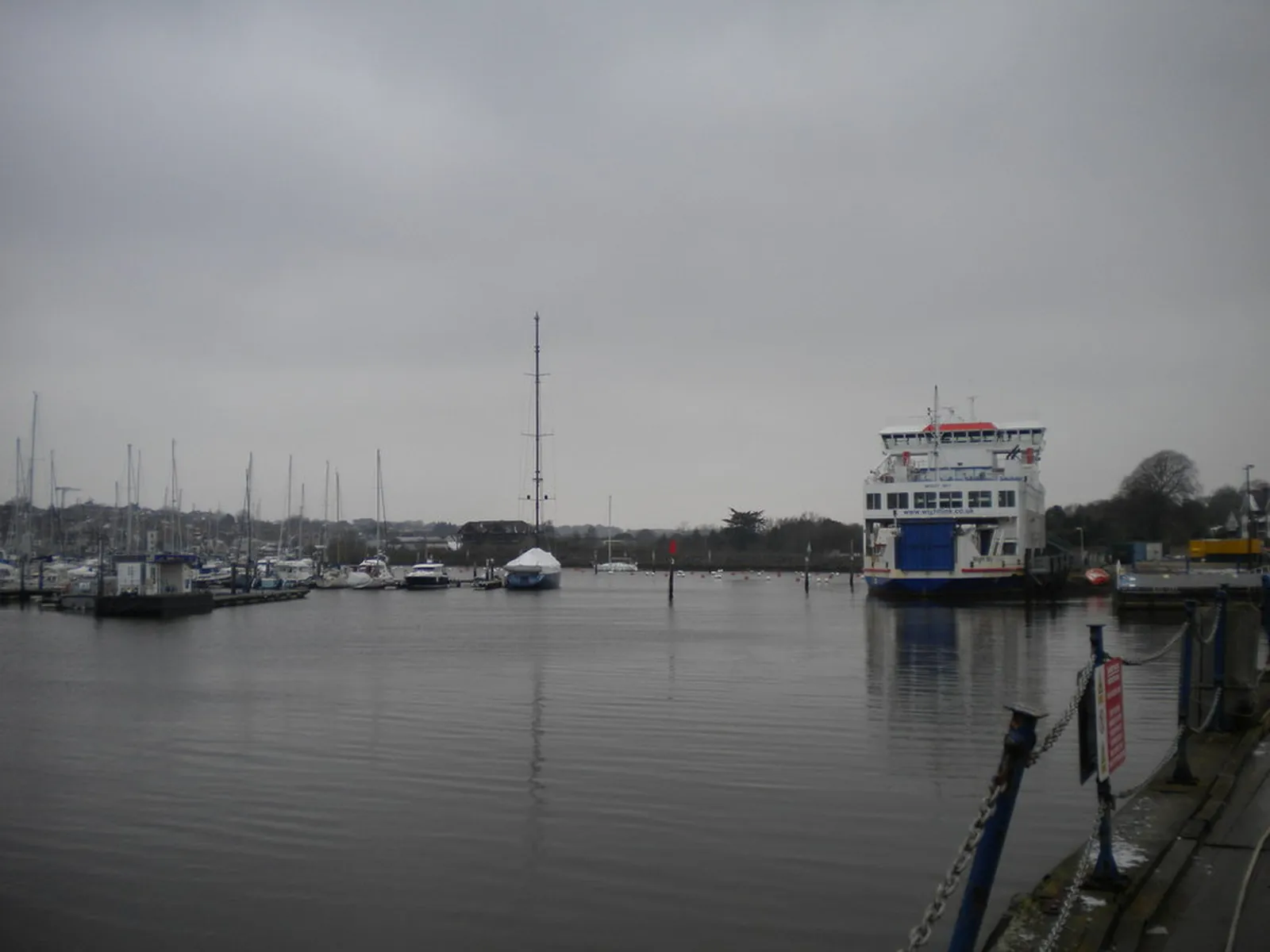
Lymington is in the area of New Forest District Council. It is a harbour town around the Lymington Conservation Area and the Lymington River, quite unlike Southampton up the Water or Romsey inland, and outside the New Forest National Park where a different local planning authority applies. The adopted Local Plan 2016-2036 Part One: Planning Strategy applies here. The Lymington Conservation Area and the Lymington River are the official features that shape flood risk and drainage work here. Hampshire County Council is the Lead Local Flood Authority. There is no confirmed 2027 successor council for Hampshire.
In Lymington, including around the Lymington Conservation Area and at the Lymington River, the same adopted local plan policies apply. New Forest District Council assesses flood risk and drainage under the adopted planning strategy of the Local Plan 2016-2036 Part One: Planning Strategy. The adopted Local Plan 2016-2036 Part One requires development to be planned so that it is safe from flood risk and manages surface water, in line with national policy. Hampshire County Council is the Lead Local Flood Authority. Confirm the current validation requirements with the council before submitting.
Local plan: Local Plan 2016-2036 Part One: Planning Strategy (adopted)
ENV1: Mitigating the impacts of development on International Nature Conservation sites
Policy ENV1 (Mitigating the impacts of development on International Nature Conservation sites) of the New Forest District Local Plan 2016-2036 Part One: Planning Strategy, adopted on 6 July 2020, requires development to avoid or permanently mitigate adverse effects on international nature-conservation sites, including the New Forest and Solent sites.
Part One: Flood risk in the adopted planning strategy
The adopted Local Plan 2016-2036 Part One: Planning Strategy, adopted on 6 July 2020, is the statutory development plan for New Forest District outside the National Park and requires development to be planned so that it is safe from flood risk and manages surface water, in line with national policy.
ENV4: Landscape character and quality
Policy ENV4 (Landscape character and quality) of the New Forest District Local Plan 2016-2036 Part One: Planning Strategy, adopted on 6 July 2020, protects landscape features including trees, hedgerows, woodlands, watercourses and wildlife corridors.
General guidance for flood risk and drainage assessment, not formal advice for your site.
New Forest District Council. Hampshire County Council is the Lead Local Flood Authority. There is no confirmed 2027 successor council for Hampshire.
A flood risk assessment in Lymington is often needed for development in or near the Lymington Conservation Area or the Lymington River, including sites in flood risk areas or above the national size thresholds. Confirm the current validation requirements with the council.
Hampshire County Council is the Lead Local Flood Authority. There is no confirmed 2027 successor council for Hampshire.
No other published town guides for this survey in the council area yet.