Featured partner
Recommended for Newbury

ROAVR Group
Tree, ecology, flood risk and topographical surveys for planning applications.
4.9 Google rating
Get a quote
Local experts.
Featured partner
Recommended for Newbury
Tree, ecology, flood risk and topographical surveys for planning applications.
4.9 Google rating
Local experts.
Transport planning and infrastructure consultancy with its main office on North Street…
Civil and environmental engineering consultancy whose own contact page gives a Thatcham…
A flood risk assessment in Newbury is often needed in the Newbury Town Centre Conservation Area or around the Donnington Square Conservation Area, and on other sites at risk of flooding from rivers, the sea, surface water or other sources. West Berkshire Council is the local planning authority. Policy SP6 directs development to areas at the lowest flood risk, identifies Newbury and Thatcham as lying within a nationally significant Flood Risk Area where all developments should be accompanied by a Surface Water Drainage Strategy, and requires a 10 metre buffer along main rivers. It is the historic market town and administrative centre of West Berkshire, on the Kennet and the Kennet and Avon Canal, quite unlike Thatcham immediately to the east or Hungerford farther west along the same valley. Confirm the current validation requirements with the council before submitting.
Local planning authority: West Berkshire Council
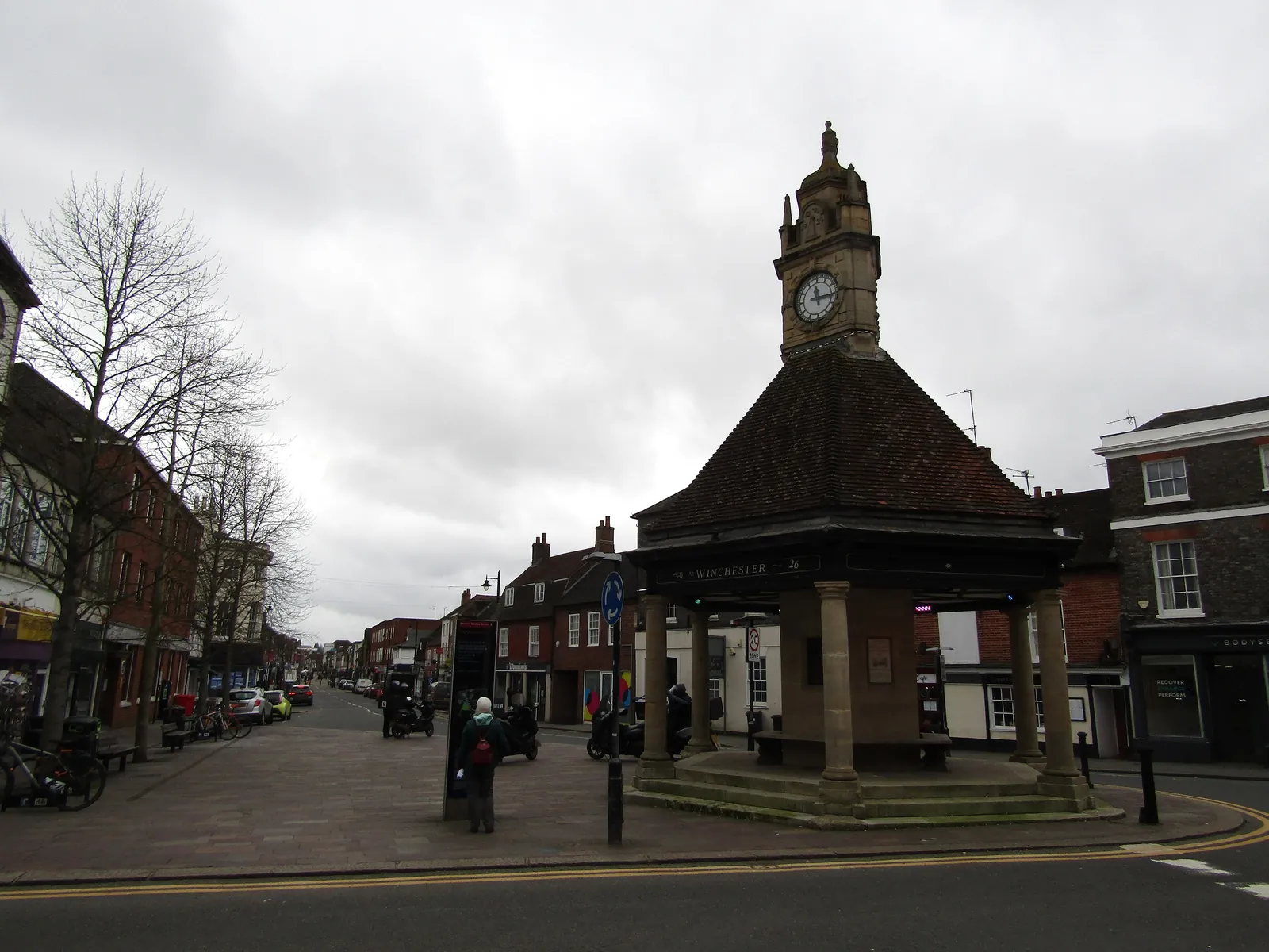
Newbury is in the area of West Berkshire Council. It is the historic market town and administrative centre of West Berkshire, on the Kennet and the Kennet and Avon Canal, quite unlike Thatcham immediately to the east or Hungerford farther west along the same valley. The Newbury Town Centre Conservation Area and the Donnington Square Conservation Area are the official features that shape flood risk and drainage work here. West Berkshire Council is also the Lead Local Flood Authority. There is no confirmed 2027 successor council for Berkshire.
In Newbury, including around the Newbury Town Centre Conservation Area and around the Donnington Square Conservation Area, the same adopted local plan policies apply. West Berkshire Council assesses flood risk and drainage under Policy SP6 of the West Berkshire Local Plan Review 2023–2041. Policy SP6 directs development to areas at the lowest flood risk, identifies Newbury and Thatcham as lying within a nationally significant Flood Risk Area where all developments should be accompanied by a Surface Water Drainage Strategy, and requires a 10 metre buffer along main rivers. Confirm the current validation requirements with the council before submitting.
Local plan: West Berkshire Local Plan Review 2023–2041 (The West Berkshire Local Plan Review 2023–2041, adopted on 10 June 2025, is the statutory development plan as of 15 November 2026.)
SP6: Flood Risk
Policy SP6 (Flood Risk) says development will be directed to areas at the lowest risk of flooding from all sources, following the sequential test and, where required, the exception test. Newbury and Thatcham lie within a nationally significant Flood Risk Area, and all developments there should be accompanied by a Surface Water Drainage Strategy. A 10 metre buffer should be maintained along main rivers. Sustainable drainage should be used, with runoff rates aiming to reflect greenfield conditions.
SP11: Biodiversity and Geodiversity
Policy SP11 (Biodiversity and Geodiversity) says development must conserve and enhance biodiversity and geodiversity, ensure long-term management, and deliver biodiversity net gain where required. Proposals should protect important habitats and species, enhance ecological connectivity and avoid habitat fragmentation. A 10 metre buffer should be maintained around designated sites and key habitats. Development must follow a hierarchy of avoidance, mitigation and compensation. Loss of irreplaceable habitats will only be allowed in exceptional cases. The council restates the statutory 10 per cent biodiversity net gain minimum and has not adopted a higher than statutory standard.
General guidance for flood risk and drainage assessment, not formal advice for your site.
West Berkshire Council. West Berkshire Council is also the Lead Local Flood Authority. There is no confirmed 2027 successor council for Berkshire.
A flood risk assessment in Newbury is often needed in the Newbury Town Centre Conservation Area or around the Donnington Square Conservation Area, and on other sites at risk of flooding from rivers, the sea, surface water or other sources. Confirm the current validation requirements with the council.
Policy SP6 directs development to areas at the lowest flood risk, identifies Newbury and Thatcham as lying within a nationally significant Flood Risk Area where all developments should be accompanied by a Surface Water Drainage Strategy, and requires a 10 metre buffer along main rivers. Confirm the current validation requirements with the council.