Featured partner
Recommended for Newmarket

ROAVR Group
Tree, ecology, flood risk and topographical surveys for planning applications.
4.9 Google rating
Get a quote
Local experts.
Featured partner
Recommended for Newmarket
Tree, ecology, flood risk and topographical surveys for planning applications.
4.9 Google rating
Local experts.
Consulting engineers whose own site publishes a trading office at Cambridge House,…
Civil engineering consultancy whose own site publishes a trading office at Ground Floor,…
Civil and traffic engineering consultancy whose own site publishes an office at 27…
A flood risk assessment in Newmarket is often needed where work could affect the Newmarket Conservation Area, or the Devil's Dyke. West Suffolk Council is the local planning authority. Policy SP2 applies the sequential test and, if necessary, the exception test, directs development to the lowest flood risk, and requires site-specific flood risk assessments and sustainable drainage, including setting aside around 15 per cent of a site for SuDS where required. It is the horseracing town around the official Newmarket Conservation Area and Devil's Dyke, quite unlike Bury St Edmunds or Haverhill. The adopted West Suffolk Local Plan 2024-2041 applies here. Confirm the current validation requirements with the council before submitting.
Local planning authority: West Suffolk Council
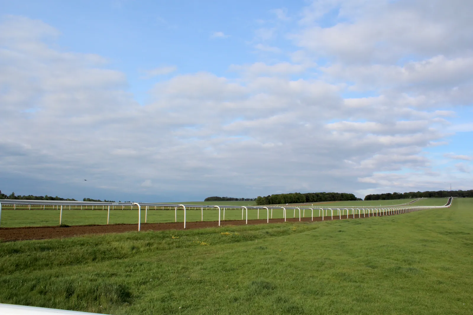
Newmarket is in the area of West Suffolk Council. It is the horseracing town around the official Newmarket Conservation Area and Devil's Dyke, quite unlike Bury St Edmunds or Haverhill. The adopted West Suffolk Local Plan 2024-2041 applies here. The Newmarket Conservation Area and the Devil's Dyke are the official features that shape flood risk and drainage work here. Suffolk County Council is the Lead Local Flood Authority. There is no confirmed successor council for West Suffolk.
In Newmarket, including around the Newmarket Conservation Area and at the Devil's Dyke, the same adopted local plan policies apply. West Suffolk Council assesses flood risk and drainage under Policy SP2 of the West Suffolk Local Plan 2024-2041. Policy SP2 (Flood risk and sustainable drainage) of the West Suffolk Local Plan 2024-2041, adopted on 15 July 2025, provides that all development proposals will be considered against national planning policy, including the application of the sequential test and, if necessary, the exception test. Development will be directed to those areas at the lowest risk of all forms of flooding, taking into account the impacts of climate change, and assessed against the most up-to-date Environment Agency flood risk maps and the West Suffolk Strategic Flood Risk Assessment maps. Site-specific flood risk assessments and surface water drainage strategies should demonstrate the proposal's contribution towards reducing the impacts of all flood risk and providing betterment over the existing situation. Around 15 per cent of the site should be set aside for SuDS to ensure that a viable sustainable scheme can be delivered. Confirm the current validation requirements with the council before submitting.
Local plan: West Suffolk Local Plan 2024-2041 (adopted)
SP2: Flood risk and sustainable drainage
Policy SP2 (Flood risk and sustainable drainage) of the West Suffolk Local Plan 2024-2041, adopted on 15 July 2025, provides that all development proposals will be considered against national planning policy, including the application of the sequential test and, if necessary, the exception test. Development will be directed to those areas at the lowest risk of all forms of flooding, taking into account the impacts of climate change, and assessed against the most up-to-date Environment Agency flood risk maps and the West Suffolk Strategic Flood Risk Assessment maps. Site-specific flood risk assessments and surface water drainage strategies should demonstrate the proposal's contribution towards reducing the impacts of all flood risk and providing betterment over the existing situation. Around 15 per cent of the site should be set aside for SuDS to ensure that a viable sustainable scheme can be delivered.
LP12: Trees
Policy LP12 (Trees) of the West Suffolk Local Plan 2024-2041, adopted on 15 July 2025, provides that on development sites, in order to conserve and enhance local distinctiveness in the landscape, trees, woodland and hedgerows must be retained, unless it can be demonstrated that removal cannot be avoided and appropriate mitigation or compensation can be achieved. In the case of ancient woodland and ancient or veteran trees, development which would harm or destroy these assets will be refused unless it accords with the exceptional reasons identified within the National Planning Policy Framework. Development proposals should seek to positively integrate existing and new trees, and where tree removal to facilitate development is unavoidable the loss must be appropriately compensated; the removal of large mature trees and their replacement with smaller shorter-lived species will not be acceptable.
SP8: Biodiversity net gain and enhancements
Policy SP8 (Biodiversity net gain and enhancements) of the West Suffolk Local Plan 2024-2041, adopted on 15 July 2025, provides that, in line with the biodiversity gain hierarchy, biodiversity net gain will preferentially be delivered on-site where this would deliver the most appropriate outcome for biodiversity and to provide local benefit. The supporting text records that the Environment Act 2021 mandates a minimum 10 per cent biodiversity net gain. The policy does not set a higher than statutory percentage. West Suffolk Council applies the statutory 10 per cent minimum.
General guidance for flood risk and drainage assessment, not formal advice for your site.
West Suffolk Council. Suffolk County Council is the Lead Local Flood Authority. There is no confirmed successor council for West Suffolk.
A flood risk assessment in Newmarket is often needed where development could be affected by the Devil's Dyke, or by other sources of flooding around the Newmarket Conservation Area. Confirm the current validation requirements with the council.
Suffolk County Council is the Lead Local Flood Authority. Confirm the current validation requirements with the council.