Featured partner
Recommended for Potters Bar

ROAVR Group
Tree, ecology, flood risk and topographical surveys for planning applications.
4.9 Google rating
Get a quote
Local experts.
Featured partner
Recommended for Potters Bar
Tree, ecology, flood risk and topographical surveys for planning applications.
4.9 Google rating
Local experts.
Transport planning and infrastructure consultancy with its main office on North Street…
Civil and structural engineering practice with a London office in Lambeth.
Flood risk consultancy based at Pyle Hill near Woking, on the northern edge of Guildford…
Flood risk and drainage consultancy based in Crawley, working across England and Wales.
Flood risk in Potters Bar is mainly assessed for surface water and ordinary watercourses around the town, including sites near the Potters Bar, Darkes Lane (West) Conservation Area and the Potters Bar, The Royds Conservation Area. Hertsmere Borough Council applies Policy SADM14 and Policy SADM15 of the SADM Policies Plan, adopted on 23 November 2016, and Policy CS16 of the Core Strategy. Hertfordshire County Council is the Lead Local Flood Authority. There is no major river through the town centre, but surface-water flow paths and drainage capacity still need to be understood, and SuDS should be designed to suit the suburban grain of the conservation areas. Confirm the current validation requirements with the council before submitting.
Local planning authority: Hertsmere Borough Council
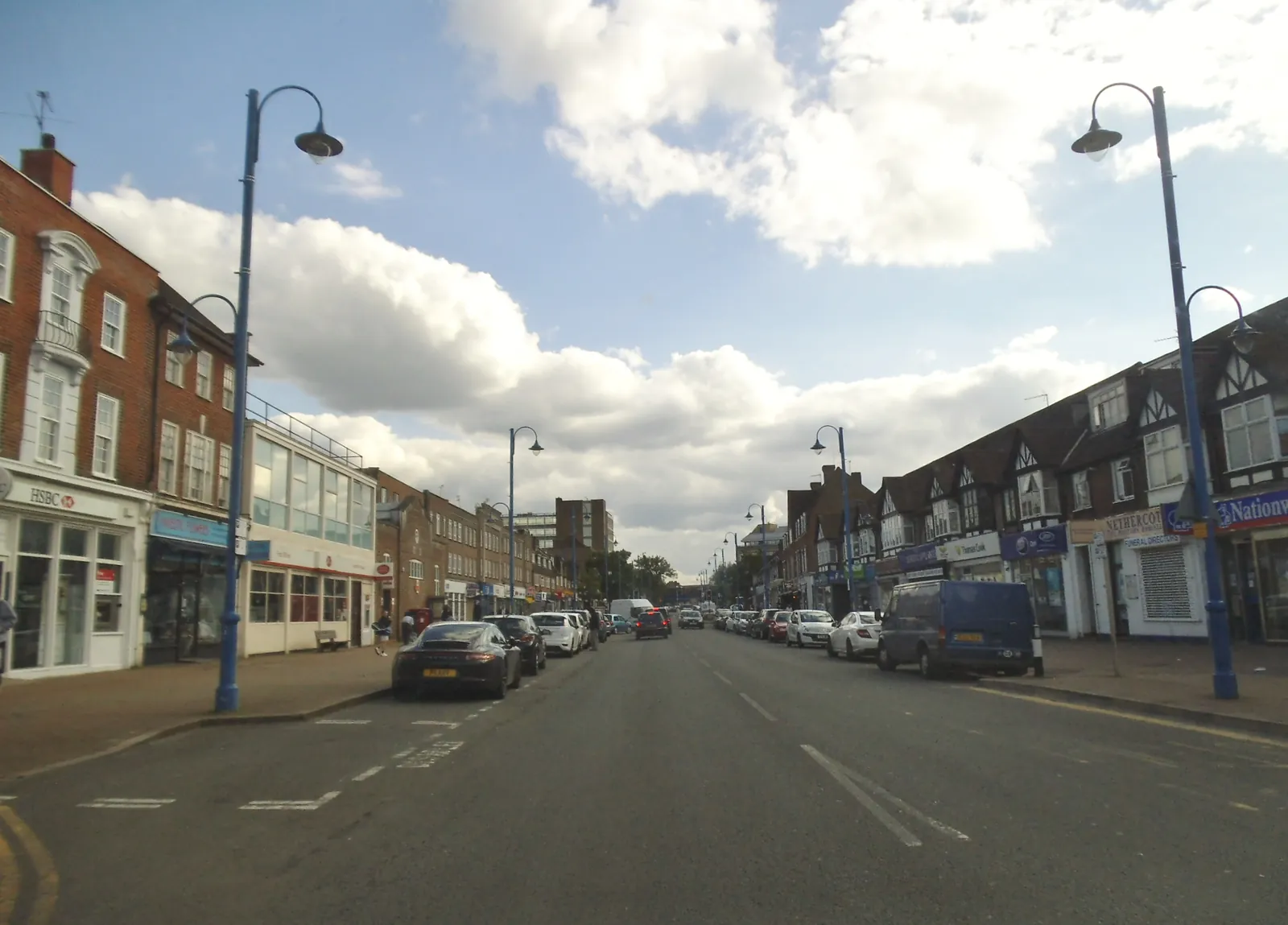
Potters Bar is Hertsmere Borough Council’s town immediately north of the M25. The Potters Bar, Darkes Lane (West) Conservation Area and the Potters Bar, The Royds Conservation Area are the official local designations that distinguish it from Borehamwood and Bushey. Applications should respond to those areas, to Hertsmere’s adopted plan, and to the statutory biodiversity net gain duty.
In Potters Bar, including around Potters Bar, Darkes Lane (West) Conservation Area and Potters Bar, The Royds Conservation Area, the same adopted local plan policies apply. Hertsmere Borough Council assesses flood risk under Policy SADM14 and surface water under Policy SADM15 of the Site Allocations and Development Management Policies Plan, adopted on 23 November 2016, together with Policy CS16 of the Core Strategy, adopted on 16 January 2013. Hertfordshire County Council is the Lead Local Flood Authority. Confirm the current validation requirements with the council before submitting.
Local plan: Hertsmere Local Plan 2012-2027 (Core Strategy, Site Allocations and Development Management Policies Plan, and Elstree Way Corridor Area Action Plan) (The Core Strategy was adopted on 16 January 2013, the Elstree Way Corridor Area Action Plan on 8 July 2015, and the Site Allocations and Development Management Policies Plan on 23 November 2016. These remain the adopted development plan as of 13 November 2026.)
CS16: Environmental impact of development
Requires proposals to take account of the Strategic Flood Risk Assessment, to avoid development in the floodplain and close to river corridors unless the sequential and exception tests are met, and to incorporate Sustainable Urban Drainage Systems where appropriate.
SADM14: Flood Risk
Requires the sequential test, then the exception test, and a site-specific flood risk assessment in flood risk areas covering all sources of flooding. Development must not increase flood risk elsewhere, must set floor levels in Flood Zones 2 and 3 above the 1 per cent plus climate change level with at least 300 mm freeboard, must be flood resilient and resistant, and must not cause a net loss of flood storage.
SADM15: Sustainable Drainage Systems
Requires sustainable drainage measures in new development, and SuDS on all major developments, providing the most sustainable option from the SuDS hierarchy, achieving the greenfield runoff rate or as close as practicable, providing 1 in 100 year attenuation including climate change, and setting out future maintenance.
CS12: The Enhancement of the Natural Environment
Requires all development proposals to conserve and enhance the natural environment of the borough, including biodiversity, habitats, protected trees, landscape character, and sites of ecological and geological value, and to provide opportunities for habitat creation and enhancement throughout the life of a development.
General guidance for flood risk and drainage assessment, not formal advice for your site.
Hertsmere Borough Council is the local planning authority. Hertfordshire County Council is the Lead Local Flood Authority. There is no confirmed 2027 successor council.
Policy SADM14 applies where a site is at risk from surface water, ordinary watercourses or other sources, including around the Potters Bar, Darkes Lane (West) Conservation Area and the Potters Bar, The Royds Conservation Area, or could increase risk elsewhere. Confirm the current validation requirements with the council.
Surface water and ordinary watercourses are the usual issues in the town, including around the Potters Bar, Darkes Lane (West) Conservation Area and the Potters Bar, The Royds Conservation Area. Policy SADM14 requires an assessment of all sources of flooding, and Policy SADM15 requires SuDS on major developments.