Featured partner
Recommended for Rayleigh

ROAVR Group
Tree, ecology, flood risk and topographical surveys for planning applications.
4.9 Google rating
Get a quote
Local experts.
Featured partner
Recommended for Rayleigh
Tree, ecology, flood risk and topographical surveys for planning applications.
4.9 Google rating
Local experts.
Civil and environmental engineering consultancy with an office titled Essex at 1-2…
Civil and structural engineering practice with an Essex office at 8 Atlantic Square,…
Flood risk and drainage consultancy based in Crawley, working across England and Wales.
Transport and civil engineering consultancy with a South East office at Halford House, 2…
A flood risk assessment in Rayleigh is often needed in the Rayleigh Conservation Area or at Rayleigh Castle, and on other sites at risk of flooding from rivers, the sea, surface water or other sources. Rochford District Council is the local planning authority. Policy ENV3 directs development away from areas at risk of flooding by applying the sequential and, where necessary, exception tests, with the vast majority of development to be accommodated in Flood Zone 1. Policy ENV4 requires sustainable drainage on residential development of over 10 units so that runoff does not increase the likelihood of flooding. It is a historic town in Rochford district, quite unlike Southend-on-Sea to the south-east or Basildon New Town to the west, with an official conservation area around the historic centre and Rayleigh Castle, a scheduled monument, on the mount above the town. Confirm the current validation requirements with the council before submitting.
Local planning authority: Rochford District Council
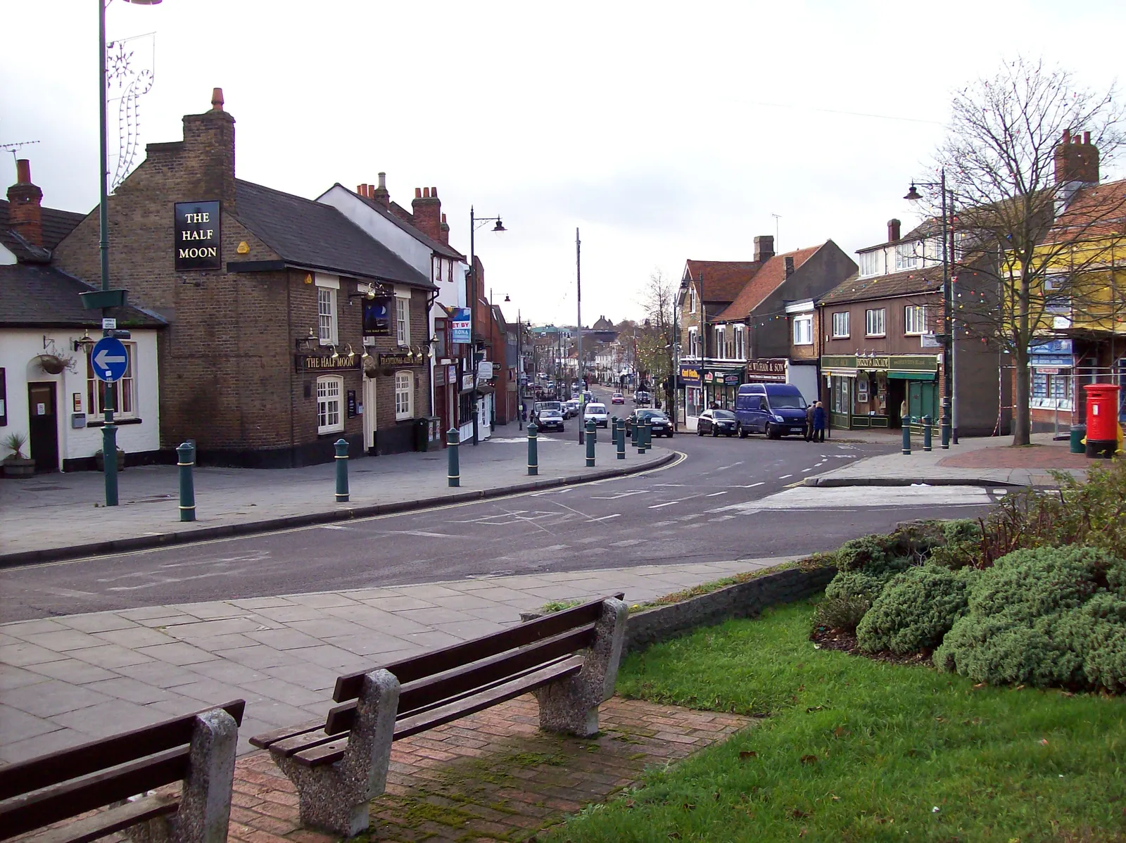
Rayleigh is in the area of Rochford District Council. It is a historic town in Rochford district, quite unlike Southend-on-Sea to the south-east or Basildon New Town to the west, with an official conservation area around the historic centre and Rayleigh Castle, a scheduled monument, on the mount above the town. The Rayleigh Conservation Area and the Rayleigh Castle are the official features that shape flood risk and drainage work here. Essex County Council is the Lead Local Flood Authority. There is no confirmed 2027 successor council for Essex.
In Rayleigh, including around the Rayleigh Conservation Area and at Rayleigh Castle, the same adopted local plan policies apply. Rochford District Council assesses flood risk and drainage under Policy ENV3 and Policy ENV4 of the Rochford District Core Strategy (2011) and Development Management Plan (2014). Policy ENV3 directs development away from areas at risk of flooding by applying the sequential and, where necessary, exception tests, with the vast majority of development to be accommodated in Flood Zone 1. Policy ENV4 requires sustainable drainage on residential development of over 10 units so that runoff does not increase the likelihood of flooding. Confirm the current validation requirements with the council before submitting.
Local plan: Rochford District Core Strategy (2011) and Development Management Plan (2014) (The Rochford District Core Strategy, adopted on 13 December 2011, and the Development Management Plan, adopted on 16 December 2014, are the statutory development plan as of 15 November 2026. A replacement local plan had not been adopted.)
ENV1: Protection and Enhancement of the Natural Landscape and Habitats
Policy ENV1 (Protection and Enhancement of the Natural Landscape and Habitats and the Protection of Historical and Archaeological Sites) says the Council will maintain, restore and enhance sites of international, national and local nature conservation importance, including Special Areas of Conservation, Special Protection Areas, Ramsar Sites, Sites of Special Scientific Interest, Ancient Woodlands, Local Nature Reserves and Local Wildlife Sites.
ENV3: Flood Risk
Policy ENV3 (Flood Risk) says the Council will direct development away from areas at risk of flooding by applying the sequential test and, where necessary, the exception test. The vast majority of development will be accommodated within Flood Zone 1.
ENV4: Sustainable Drainage Systems (SUDS)
Policy ENV4 (Sustainable Drainage Systems (SUDS)) requires all residential development over 10 units to incorporate runoff control via sustainable drainage systems so that runoff and infiltration rates do not increase the likelihood of flooding, unless there is conclusive evidence that a system is not viable on a particular site.
General guidance for flood risk and drainage assessment, not formal advice for your site.
Rochford District Council. Essex County Council is the Lead Local Flood Authority. There is no confirmed 2027 successor council for Essex.
A flood risk assessment in Rayleigh is often needed in the Rayleigh Conservation Area or at Rayleigh Castle, and on other sites at risk of flooding from rivers, the sea, surface water or other sources. Confirm the current validation requirements with the council.
Policy ENV3 directs development away from areas at risk of flooding by applying the sequential and, where necessary, exception tests, with the vast majority of development to be accommodated in Flood Zone 1. Policy ENV4 requires sustainable drainage on residential development of over 10 units so that runoff does not increase the likelihood of flooding. Confirm the current validation requirements with the council.
No other published town guides for this survey in the council area yet.