Featured partner
Recommended for Reading

ROAVR Group
Tree, ecology, flood risk and topographical surveys for planning applications.
4.9 Google rating
Get a quote
Local experts.
Featured partner
Recommended for Reading
Tree, ecology, flood risk and topographical surveys for planning applications.
4.9 Google rating
Local experts.
Transport planning and infrastructure consultancy with its main office on North Street…
Civil and environmental engineering consultancy whose own contact page gives a Thatcham…
Transport planning and infrastructure consultancy based at Lion House, Oriental Road in…
Flood risk consultancy based at Pyle Hill near Woking, on the northern edge of Guildford…
A flood risk assessment in Reading is often needed in the Market Place Conservation Area or around the St Mary's Butts/Castle Street Conservation Area, and on other sites at risk of flooding from rivers, the sea, surface water or other sources. Reading Borough Council is the local planning authority. Policy EN18 directs development to areas at lowest flood risk, following the sequential and exception tests, and requires major developments to incorporate sustainable drainage systems. It is Berkshire’s largest commercial centre, where the Thames and the Kennet meet, quite unlike the royal riverside town of Windsor or the Kennet valley towns around Newbury. Confirm the current validation requirements with the council before submitting.
Local planning authority: Reading Borough Council
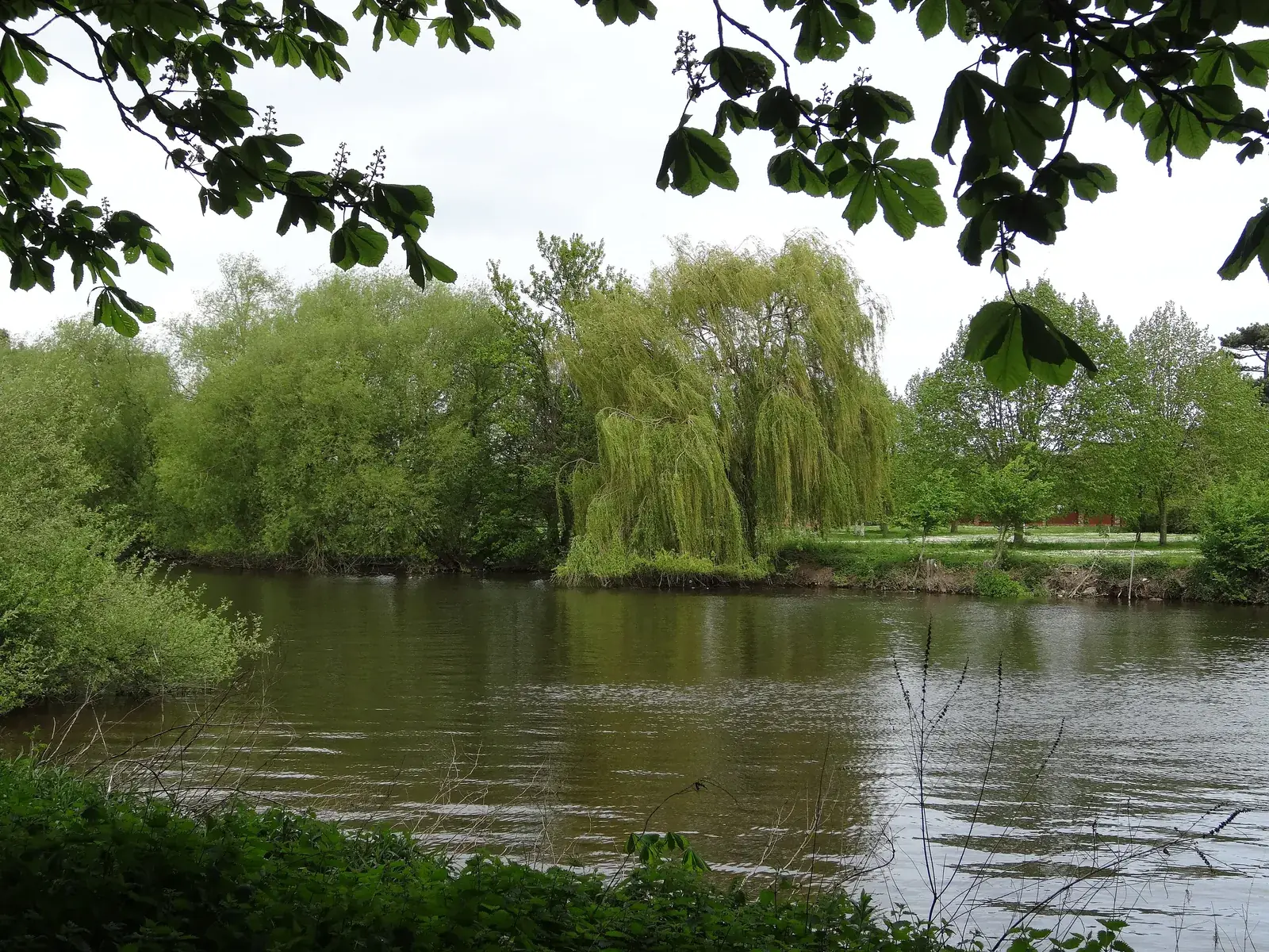
Reading is in the area of Reading Borough Council. It is Berkshire’s largest commercial centre, where the Thames and the Kennet meet, quite unlike the royal riverside town of Windsor or the Kennet valley towns around Newbury. The Market Place Conservation Area and the St Mary's Butts/Castle Street Conservation Area are the official features that shape flood risk and drainage work here. Reading Borough Council is also the Lead Local Flood Authority. There is no confirmed 2027 successor council for Berkshire.
In Reading, including around the Market Place Conservation Area and around the St Mary's Butts/Castle Street Conservation Area, the same adopted local plan policies apply. Reading Borough Council assesses flood risk and drainage under Policy EN18 of the Reading Borough Local Plan. Policy EN18 directs development to areas at lowest flood risk, following the sequential and exception tests, and requires major developments to incorporate sustainable drainage systems. Confirm the current validation requirements with the council before submitting.
Local plan: Reading Borough Local Plan (The Reading Borough Local Plan, adopted on 4 November 2019, is the statutory development plan as of 15 November 2026. A Partial Update is under examination and had not been adopted as of that date.)
EN18: Flooding and Sustainable Drainage Systems
Policy EN18 (Flooding and Sustainable Drainage Systems) says development will be directed to areas at lowest risk of flooding in the first instance, following the Sequential and Exception Tests set out in the National Planning Policy Framework, and taking into account the effects of climate change. It will consider flooding from all sources, including fluvial, surface water, groundwater and sewer flooding. Where development in areas at risk of flooding is necessary, it will not reduce the capacity of the flood plain to store floodwater, impede the flow of floodwater or in any way increase the risks to life and property arising from flooding. All major developments must incorporate sustainable drainage systems as appropriate, with runoff rates aiming to reflect greenfield conditions and in any case no greater than the existing conditions of the site.
EN12: Biodiversity and the Green Network
Policy EN12 (Biodiversity and the Green Network) says the identified Green Network shall be maintained, protected, consolidated, extended and enhanced, and that permission will not be granted for development that negatively affects sites with identified interest or fragments the overall network. On all sites, development should not result in a net loss of biodiversity and geodiversity, and should provide a net gain for biodiversity wherever possible, protect and wherever possible enhance features of biodiversity interest, and provide new tree planting, wildlife-friendly landscaping and ecological enhancements wherever practicable. “Net gain wherever possible” is not a higher than statutory percentage standard.
General guidance for flood risk and drainage assessment, not formal advice for your site.
Reading Borough Council. Reading Borough Council is also the Lead Local Flood Authority. There is no confirmed 2027 successor council for Berkshire.
A flood risk assessment in Reading is often needed in the Market Place Conservation Area or around the St Mary's Butts/Castle Street Conservation Area, and on other sites at risk of flooding from rivers, the sea, surface water or other sources. Confirm the current validation requirements with the council.
Policy EN18 directs development to areas at lowest flood risk, following the sequential and exception tests, and requires major developments to incorporate sustainable drainage systems. Confirm the current validation requirements with the council.
No other published town guides for this survey in the council area yet.