Featured partner
Recommended for Rye

ROAVR Group
Tree, ecology, flood risk and topographical surveys for planning applications.
4.9 Google rating
Get a quote
Local experts.
Featured partner
Recommended for Rye
Tree, ecology, flood risk and topographical surveys for planning applications.
4.9 Google rating
Local experts.
Structural and civil engineering practice whose own site publishes an office at Studio…
A flood risk assessment in Rye is often needed where work could affect the Rye Conservation Area, or the River Rother. Rother District Council is the local planning authority. Policy EN7 requires a site-specific Flood Risk Assessment where development is proposed in an area at flood risk, and requires sustainable drainage systems. It is a historic hilltop town around the Rye Conservation Area and the River Rother, quite unlike Battle inland or Bexhill-on-Sea along the coast. The adopted Rother Local Plan Core Strategy applies here. Confirm the current validation requirements with the council before submitting.
Local planning authority: Rother District Council
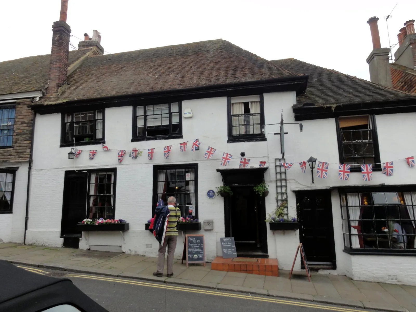
Rye is in the area of Rother District Council. It is a historic hilltop town around the Rye Conservation Area and the River Rother, quite unlike Battle inland or Bexhill-on-Sea along the coast. The adopted Rother Local Plan Core Strategy applies here. The Rye Conservation Area and the River Rother are the official features that shape flood risk and drainage work here. East Sussex County Council is the Lead Local Flood Authority. There is no confirmed 2027 successor council for East Sussex.
In Rye, including around the Rye Conservation Area and at the River Rother, the same adopted local plan policies apply. Rother District Council assesses flood risk and drainage under Policy EN7 of the Rother Local Plan Core Strategy. Policy EN7 requires a site-specific Flood Risk Assessment where development is proposed in an area at flood risk, and requires sustainable drainage systems. East Sussex County Council is the Lead Local Flood Authority. Confirm the current validation requirements with the council before submitting.
Local plan: Rother Local Plan Core Strategy (The Rother Local Plan Core Strategy, adopted in September 2014, and the Development and Site Allocations Local Plan, adopted in December 2019, are the statutory local plan as of 15 November 2026. A later Rother Local Plan had not been adopted as of that date.)
EN7: Flood Risk and Development
Policy EN7 (Flood Risk and Development) of the Rother Local Plan Core Strategy, adopted in September 2014, requires flood risk to be taken into account at all stages in the planning process, requires a site-specific Flood Risk Assessment where development is proposed in an area identified as at flood risk, and requires drainage systems and sustainable drainage systems for all new development in accordance with the Flood and Water Management Act 2010.
EN5: Biodiversity and Green Space
Policy EN5 (Biodiversity and Green Space) of the Rother Local Plan Core Strategy, adopted in September 2014, requires biodiversity, geodiversity and green space to be protected and enhanced, including the retention, protection and enhancement of habitats of ecological interest such as ancient woodland, water features and hedgerows, and requires developers to integrate biodiversity into development schemes. The policy does not set a higher than statutory biodiversity net gain percentage. Rother District Council applies the statutory 10 per cent minimum.
General guidance for flood risk and drainage assessment, not formal advice for your site.
Rother District Council. East Sussex County Council is the Lead Local Flood Authority. There is no confirmed 2027 successor council for East Sussex.
A flood risk assessment in Rye is often needed for development in or near the Rye Conservation Area or the River Rother, including sites in flood risk areas or above the national size thresholds. Confirm the current validation requirements with the council.
East Sussex County Council is the Lead Local Flood Authority. There is no confirmed 2027 successor council for East Sussex.