Featured partner
Recommended for Shoreham-by-Sea

ROAVR Group
Tree, ecology, flood risk and topographical surveys for planning applications.
4.9 Google rating
Get a quote
Local experts.
Featured partner
Recommended for Shoreham-by-Sea
Tree, ecology, flood risk and topographical surveys for planning applications.
4.9 Google rating
Local experts.
Independent water engineering consultancy whose own site lists a Buckinghamshire office…
Flood risk and drainage consultancy based in Crawley, working across England and Wales.
Consulting civil engineering practice whose own contact and services pages publish a…
A flood risk assessment in Shoreham-by-Sea is often needed in the Shoreham-by-Sea Conservation Area or around the Old Shoreham Conservation Area, and on other sites at risk of flooding from rivers, the sea, surface water or other sources. Adur District Council is the local planning authority. Policy 36 is the adopted Adur policy for flood risk assessments and sustainable drainage. It is an Adur coastal town at the mouth of the River Adur, around the Shoreham-by-Sea Conservation Area and the separate Old Shoreham Conservation Area, quite unlike Worthing to the west. Confirm the current validation requirements with the council before submitting.
Local planning authority: Adur District Council
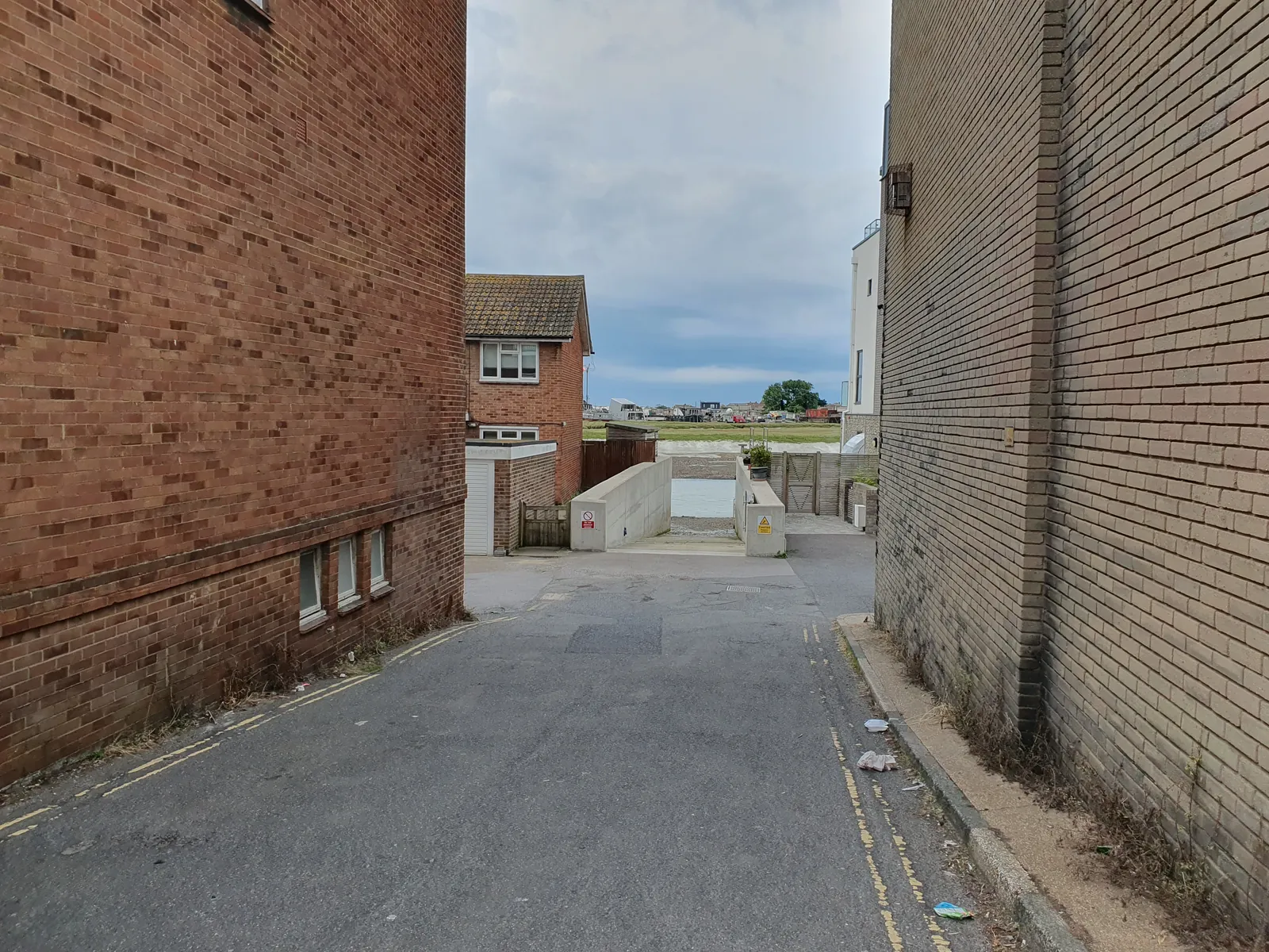
Shoreham-by-Sea is in the area of Adur District Council. It is an Adur coastal town at the mouth of the River Adur, around the Shoreham-by-Sea Conservation Area and the separate Old Shoreham Conservation Area, quite unlike Worthing to the west. The Shoreham-by-Sea Conservation Area and the Old Shoreham Conservation Area are the official features that shape flood risk and drainage work here. West Sussex County Council is the Lead Local Flood Authority. There is no confirmed 2027 successor council for West Sussex.
In Shoreham-by-Sea, including around the Shoreham-by-Sea Conservation Area and around the Old Shoreham Conservation Area, the same adopted local plan policies apply. Adur District Council assesses flood risk and drainage under Policy 36 of the Adur Local Plan 2017. Policy 36 is the adopted Adur policy for flood risk assessments and sustainable drainage. Confirm the current validation requirements with the council before submitting.
Local plan: Adur Local Plan 2017 (The Adur Local Plan 2017, adopted on 14 December 2017, is the statutory local plan as of 15 November 2026. A later local plan had not been adopted as of that date.)
36: Flood Risk and Sustainable Drainage
Policy 36 (Flood Risk and Sustainable Drainage) of the Adur Local Plan 2017 is the adopted policy for flood risk assessments and sustainable drainage.
31: Biodiversity
Policy 31 (Biodiversity) of the Adur Local Plan 2017 seeks to conserve and enhance biodiversity. The policy does not set a higher than statutory biodiversity net gain percentage. Adur District Council applies the statutory 10 per cent minimum.
General guidance for flood risk and drainage assessment, not formal advice for your site.
Adur District Council. West Sussex County Council is the Lead Local Flood Authority. There is no confirmed 2027 successor council for West Sussex.
A flood risk assessment in Shoreham-by-Sea is often needed in the Shoreham-by-Sea Conservation Area or around the Old Shoreham Conservation Area, and on other sites at risk of flooding from rivers, the sea, surface water or other sources. Confirm the current validation requirements with the council.
Policy 36 is the adopted Adur policy for flood risk assessments and sustainable drainage. Confirm the current validation requirements with the council.
No other published town guides for this survey in the council area yet.