Featured partner
Recommended for Stowmarket

ROAVR Group
Tree, ecology, flood risk and topographical surveys for planning applications.
4.9 Google rating
Get a quote
Local experts.
Featured partner
Recommended for Stowmarket
Tree, ecology, flood risk and topographical surveys for planning applications.
4.9 Google rating
Local experts.
Civil and traffic engineering consultancy whose own site publishes an office at 27…
Civil engineering consultancy, based in Ipswich, whose own site publishes a…
Civil engineering consultancy, also trading as SuDS Designs, whose own site publishes a…
Civil and structural engineering consultancy with its head office at 847 The Crescent,…
A flood risk assessment in Stowmarket is often needed where work could affect the Stowmarket Conservation Area, or the River Gipping. Mid Suffolk District Council is the local planning authority. Policy LP27 directs development away from the highest flood risk, requires a site-specific flood risk assessment where necessary, and expects early consideration of SuDS, with Suffolk County Council as the Lead Local Flood Authority. It is a Mid Suffolk market town around the official Stowmarket Conservation Area and the River Gipping, quite unlike Sudbury or Ipswich. The adopted Babergh and Mid Suffolk Joint Local Plan Part 1 2018-2037 applies here. Confirm the current validation requirements with the council before submitting.
Local planning authority: Mid Suffolk District Council
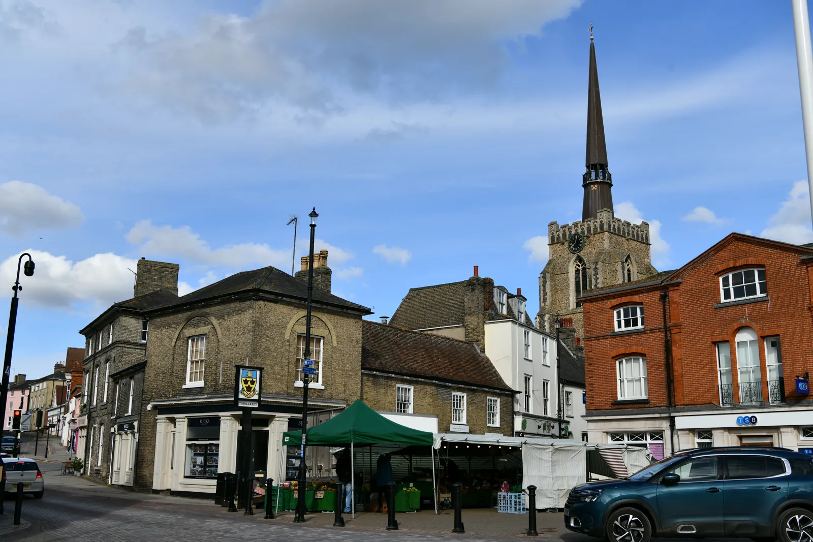
Stowmarket is in the area of Mid Suffolk District Council. It is a Mid Suffolk market town around the official Stowmarket Conservation Area and the River Gipping, quite unlike Sudbury or Ipswich. The adopted Babergh and Mid Suffolk Joint Local Plan Part 1 2018-2037 applies here. The Stowmarket Conservation Area and the River Gipping are the official features that shape flood risk and drainage work here. Suffolk County Council is the Lead Local Flood Authority. There is no confirmed successor council for Mid Suffolk.
In Stowmarket, including around the Stowmarket Conservation Area and at the River Gipping, the same adopted local plan policies apply. Mid Suffolk District Council assesses flood risk and drainage under Policy LP27 of the Babergh and Mid Suffolk Joint Local Plan Part 1 2018-2037. Policy LP27 (Flood risk and vulnerability) of the Babergh and Mid Suffolk Joint Local Plan Part 1 2018-2037 follows the national approach of directing development away from the areas at highest risk or, where this is unavoidable, requiring that development is made safe for its lifetime without increasing flood risk elsewhere. Applicants are required to have regard to the relevant Strategic Flood Risk Assessment, and where necessary a site-specific flood risk assessment should be carried out and the sequential test followed. Early consideration should be given to the potential to use SuDS. The Lead Local Flood Authority is Suffolk County Council, and further information on local SuDS guidance can be found in the Suffolk Flood Risk Management Strategy. Confirm the current validation requirements with the council before submitting.
Local plan: Babergh and Mid Suffolk Joint Local Plan Part 1 2018-2037 (adopted)
LP16: Biodiversity & Geodiversity
Policy LP16 (Biodiversity & Geodiversity) of the Babergh and Mid Suffolk Joint Local Plan Part 1 2018-2037 requires all development to follow the biodiversity mitigation hierarchy and to protect designated and, where known, potentially designated sites. Proposed development that will result in the loss or deterioration of irreplaceable biodiversity or geological features or habitats, such as ancient woodland and veteran or ancient trees, will not be supported. Development must identify and pursue opportunities for securing measurable net gains, equivalent of a minimum 10 per cent increase, for biodiversity. Supporting text at paragraph 15.12 confirms that proposals will be required to meet a minimum of 10 per cent increase or in line with Government requirements if greater. The policy does not set a higher than statutory percentage.
LP27: Flood risk and vulnerability
Policy LP27 (Flood risk and vulnerability) of the Babergh and Mid Suffolk Joint Local Plan Part 1 2018-2037 follows the national approach of directing development away from the areas at highest risk or, where this is unavoidable, requiring that development is made safe for its lifetime without increasing flood risk elsewhere. Applicants are required to have regard to the relevant Strategic Flood Risk Assessment, and where necessary a site-specific flood risk assessment should be carried out and the sequential test followed. Early consideration should be given to the potential to use SuDS. The Lead Local Flood Authority is Suffolk County Council, and further information on local SuDS guidance can be found in the Suffolk Flood Risk Management Strategy.
General guidance for flood risk and drainage assessment, not formal advice for your site.
Mid Suffolk District Council. Suffolk County Council is the Lead Local Flood Authority. There is no confirmed successor council for Mid Suffolk.
A flood risk assessment in Stowmarket is often needed where development could be affected by the River Gipping, or by other sources of flooding around the Stowmarket Conservation Area. Confirm the current validation requirements with the council.
Suffolk County Council is the Lead Local Flood Authority. Confirm the current validation requirements with the council.
No other published town guides for this survey in the council area yet.