Featured partner
Recommended for Wallingford

ROAVR Group
Tree, ecology, flood risk and topographical surveys for planning applications.
4.9 Google rating
Get a quote
Local experts.
Featured partner
Recommended for Wallingford
Tree, ecology, flood risk and topographical surveys for planning applications.
4.9 Google rating
Local experts.
Civil engineering flood and water management practice whose own site publishes a…
Civil engineering consultancy whose own site publishes a trading address at 2 Preston…
Multidisciplinary consultancy whose own contact page publishes an Oxford office at The…
Civil engineering consultancy whose own site publishes a trading address at The Stables,…
A flood risk assessment in Wallingford is often needed where work could affect the Wallingford Conservation Area, or the River Thames. South Oxfordshire District Council is the local planning authority. Policy EP4 directs development to areas of lowest flood risk, requires a site-specific Flood Risk Assessment in the circumstances set out in the policy, and expects Sustainable Drainage Systems. It is a historic Thames-side market town around the Wallingford Conservation Area and the River Thames, quite unlike Didcot, Henley-on-Thames or Thame. The adopted South Oxfordshire Local Plan 2035 applies here. Confirm the current validation requirements with the council before submitting.
Local planning authority: South Oxfordshire District Council
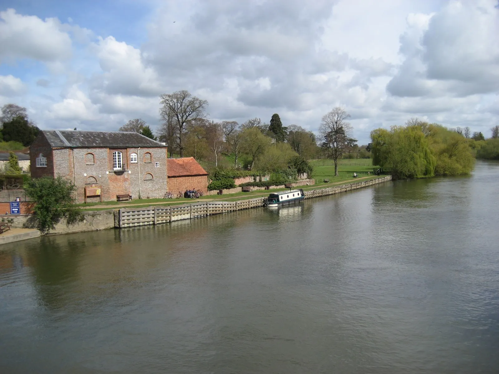
Wallingford is in the area of South Oxfordshire District Council. It is a historic Thames-side market town around the Wallingford Conservation Area and the River Thames, quite unlike Didcot, Henley-on-Thames or Thame. The adopted South Oxfordshire Local Plan 2035 applies here. The Wallingford Conservation Area and the River Thames are the official features that shape flood risk and drainage work here. Oxfordshire County Council is the Lead Local Flood Authority. There is no confirmed successor council for Oxfordshire.
In Wallingford, including around the Wallingford Conservation Area and at the River Thames, the same adopted local plan policies apply. South Oxfordshire District Council assesses flood risk and drainage under Policy EP4 of the South Oxfordshire Local Plan 2035. Policy EP4 (Flood Risk) of the South Oxfordshire Local Plan 2035, adopted on 10 December 2020, requires the risk and impact of flooding to be minimised by directing new development to areas with the lowest probability of flooding, addressing all sources of flood risk, and ensuring that development does not increase the risk of flooding elsewhere. A site-specific Flood Risk Assessment is required in Flood Zones 2 and 3 and in the circumstances set out for Flood Zone 1, and all development must provide a Drainage Strategy and is expected to incorporate Sustainable Drainage Systems. Oxfordshire County Council is the Lead Local Flood Authority. Confirm the current validation requirements with the council before submitting.
Local plan: South Oxfordshire Local Plan 2035 (adopted)
ENV2: Biodiversity - Designated Sites, Priority Habitats and Species
Policy ENV2 (Biodiversity - Designated Sites, Priority Habitats and Species) of the South Oxfordshire Local Plan 2035, adopted on 10 December 2020, gives the highest level of protection to sites of international nature conservation importance, protects Sites of Special Scientific Interest, and controls development likely to result in harm to local wildlife sites, priority habitats and species, legally protected species, ancient woodland and veteran trees.
ENV3: Biodiversity
Policy ENV3 (Biodiversity) of the South Oxfordshire Local Plan 2035, adopted on 10 December 2020, supports development that will conserve, restore and enhance biodiversity, and requires all development to provide a net gain in biodiversity where possible, with no net loss as a minimum, evidenced using a recognised biodiversity accounting metric. The policy does not set a higher than statutory biodiversity net gain percentage. South Oxfordshire District Council applies the statutory 10 per cent minimum.
EP4: Flood Risk
Policy EP4 (Flood Risk) of the South Oxfordshire Local Plan 2035, adopted on 10 December 2020, requires the risk and impact of flooding to be minimised by directing new development to areas with the lowest probability of flooding, addressing all sources of flood risk, and ensuring that development does not increase the risk of flooding elsewhere. A site-specific Flood Risk Assessment is required in Flood Zones 2 and 3 and in the circumstances set out for Flood Zone 1, and all development must provide a Drainage Strategy and is expected to incorporate Sustainable Drainage Systems.
ENV1: Landscape and Countryside
Policy ENV1 (Landscape and Countryside) of the South Oxfordshire Local Plan 2035, adopted on 10 December 2020, gives the highest level of protection to the Chilterns and North Wessex Downs Areas of Outstanding Natural Beauty, and protects features that contribute to the nature and quality of the district's landscapes, including trees, hedgerows, ancient woodland and aged or veteran trees, and the landscapes, waterscapes, cultural heritage and user enjoyment of the River Thames.
General guidance for flood risk and drainage assessment, not formal advice for your site.
South Oxfordshire District Council. Oxfordshire County Council is the Lead Local Flood Authority. There is no confirmed successor council for Oxfordshire.
A flood risk assessment in Wallingford is often needed for development in or near the Wallingford Conservation Area or the River Thames, including sites in flood risk areas or above the national size thresholds. Confirm the current validation requirements with the council.
Oxfordshire County Council is the Lead Local Flood Authority. There is no confirmed successor council for Oxfordshire.