Featured partner
Recommended for Wokingham

ROAVR Group
Tree, ecology, flood risk and topographical surveys for planning applications.
4.9 Google rating
Get a quote
Local experts.
Featured partner
Recommended for Wokingham
Tree, ecology, flood risk and topographical surveys for planning applications.
4.9 Google rating
Local experts.
Transport planning and infrastructure consultancy with its main office on North Street…
Civil and environmental engineering consultancy whose own contact page gives a Thatcham…
Transport planning and infrastructure consultancy based at Lion House, Oriental Road in…
Flood risk consultancy based at Pyle Hill near Woking, on the northern edge of Guildford…
A flood risk assessment in Wokingham is often needed in the Wokingham town centre and Langborough Road Conservation Area or around the Murdoch Road Conservation Area, and on other sites at risk of flooding from rivers, the sea, surface water or other sources. Wokingham Borough Council is the local planning authority. Policy CC09 requires flood risk from all sources to be taken into account and directs development to areas of lowest flood risk, and Policy CC10 requires surface water to be managed sustainably, with sustainable drainage systems where practicable. It is a historic market town and the administrative centre of its own borough, quite unlike the planned new town of Bracknell or Reading’s much larger commercial centre to the west. Confirm the current validation requirements with the council before submitting.
Local planning authority: Wokingham Borough Council
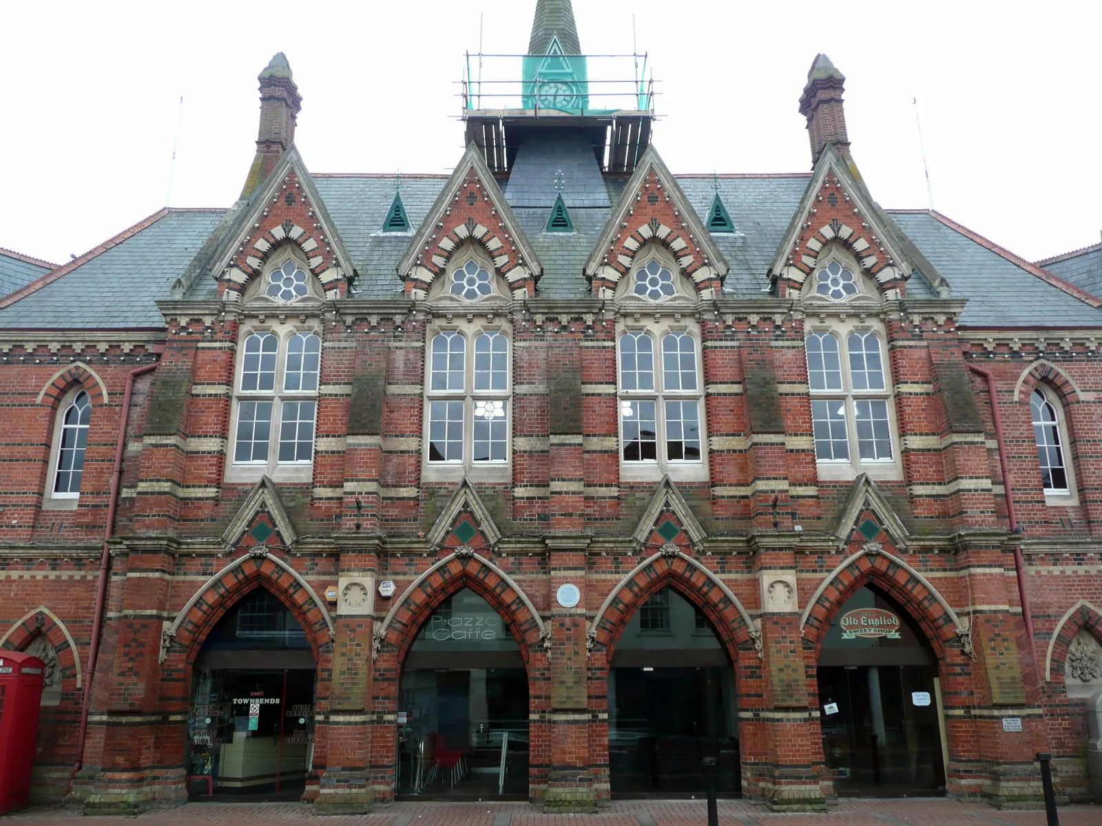
Wokingham is in the area of Wokingham Borough Council. It is a historic market town and the administrative centre of its own borough, quite unlike the planned new town of Bracknell or Reading’s much larger commercial centre to the west. The Wokingham town centre and Langborough Road Conservation Area and the Murdoch Road Conservation Area are the official features that shape flood risk and drainage work here. Wokingham Borough Council is also the Lead Local Flood Authority. There is no confirmed 2027 successor council for Berkshire.
In Wokingham, including around the Wokingham town centre and Langborough Road Conservation Area and around the Murdoch Road Conservation Area, the same adopted local plan policies apply. Wokingham Borough Council assesses flood risk and drainage under Policy CC09 and Policy CC10 of the Wokingham Borough Core Strategy (2010) and Managing Development Delivery Local Plan (2014). Policy CC09 requires flood risk from all sources to be taken into account and directs development to areas of lowest flood risk, and Policy CC10 requires surface water to be managed sustainably, with sustainable drainage systems where practicable. Confirm the current validation requirements with the council before submitting.
Local plan: Wokingham Borough Core Strategy (2010) and Managing Development Delivery Local Plan (2014) (The Core Strategy, adopted on 29 January 2010, and the Managing Development Delivery Local Plan, adopted on 21 February 2014, together form the statutory local plan as of 15 November 2026. A Local Plan Update had not replaced them as of that date.)
CC09: Development and Flood Risk (from all sources)
Policy CC09 (Development and Flood Risk (from all sources)) says all sources of flood risk, including historic flooding, must be taken into account so that inappropriate development in areas at risk of flooding is avoided. Development must be guided to areas of lowest flood risk by applying the sequential approach from all sources, and shall ensure flood risk is not worsened for the application site or elsewhere. In exceptional circumstances, development in areas of flood risk will be supported where it is safe for its lifetime, does not increase flood risk elsewhere, incorporates flood resilient and resistant measures, and has appropriate evacuation and flood response procedures. A flood risk assessment is required in the circumstances set out in the policy, including areas of known historic flooding and areas of risk identified in the Strategic Flood Risk Assessment.
CP7: Biodiversity
Policy CP7 (Biodiversity) says sites designated as of importance for nature conservation at an international or national level will be conserved and enhanced and inappropriate development will be resisted, with the degree of protection appropriate to the status of the site. Development which may harm Local Wildlife Sites, habitats or species of principal importance, veteran trees or important landscape features, or which compromises biodiversity action plans, will only be permitted if the need outweighs the nature-conservation interest, no less harmful alternative site is available, and mitigation or appropriate compensation can be provided.
TB23: Biodiversity and Development
Policy TB23 (Biodiversity and Development) says planning permission will only be granted where proposals comply with Policy CP7 and also demonstrate how they incorporate or enhance biodiversity features, provide appropriate buffer zones between development and designated sites as well as habitats and species of principal importance, and ensure ecological permeability through the protection of existing and the provision of new continuous wildlife corridors linked to the wider green infrastructure network.
CC10: Sustainable Drainage
Policy CC10 (Sustainable Drainage) says all development proposals must ensure surface water arising from the proposed development, taking into account climate change, is managed in a sustainable manner, demonstrated through a flood risk assessment or a surface water drainage strategy. Proposals must reproduce greenfield runoff characteristics where possible, incorporate sustainable drainage systems where practicable, provide clear details of adoption and maintenance to the satisfaction of the Council as Lead Local Flood Authority, and not cause adverse impacts to the public sewerage network.
General guidance for flood risk and drainage assessment, not formal advice for your site.
Wokingham Borough Council. Wokingham Borough Council is also the Lead Local Flood Authority. There is no confirmed 2027 successor council for Berkshire.
A flood risk assessment in Wokingham is often needed in the Wokingham town centre and Langborough Road Conservation Area or around the Murdoch Road Conservation Area, and on other sites at risk of flooding from rivers, the sea, surface water or other sources. Confirm the current validation requirements with the council.
Policy CC09 requires flood risk from all sources to be taken into account and directs development to areas of lowest flood risk, and Policy CC10 requires surface water to be managed sustainably, with sustainable drainage systems where practicable. Confirm the current validation requirements with the council.
No other published town guides for this survey in the council area yet.