Featured partner
Recommended for Bushey

ROAVR Group
Tree, ecology, flood risk and topographical surveys for planning applications.
4.9 Google rating
Get a quote
Local experts.
Featured partner
Recommended for Bushey
Tree, ecology, flood risk and topographical surveys for planning applications.
4.9 Google rating
Local experts.
London-based ecological consultancy in Muswell Hill.
Environmental and ecology consultancy with a London office at Holyrood Street, near…
Environmental consultancy founded in 2004, with its head office on the Surrey Research…
Independent ecology consultancy with its head office in Leatherhead, Surrey.
A preliminary ecological appraisal in Bushey should start with the Bushey High Street and Melbourne Road Conservation Area, the Bushey Heath, The Lakes Conservation Area, Watling Chase Community Forest and the Metropolitan Green Belt edge. The local planning authority is Hertsmere Borough Council. Policy SADM10 of the SADM Policies Plan, adopted on 23 November 2016, resists harm to designated sites and protected species, and Policy CS12 of the Core Strategy, adopted on 16 January 2013, requires the natural environment to be conserved and enhanced.
Local planning authority: Hertsmere Borough Council
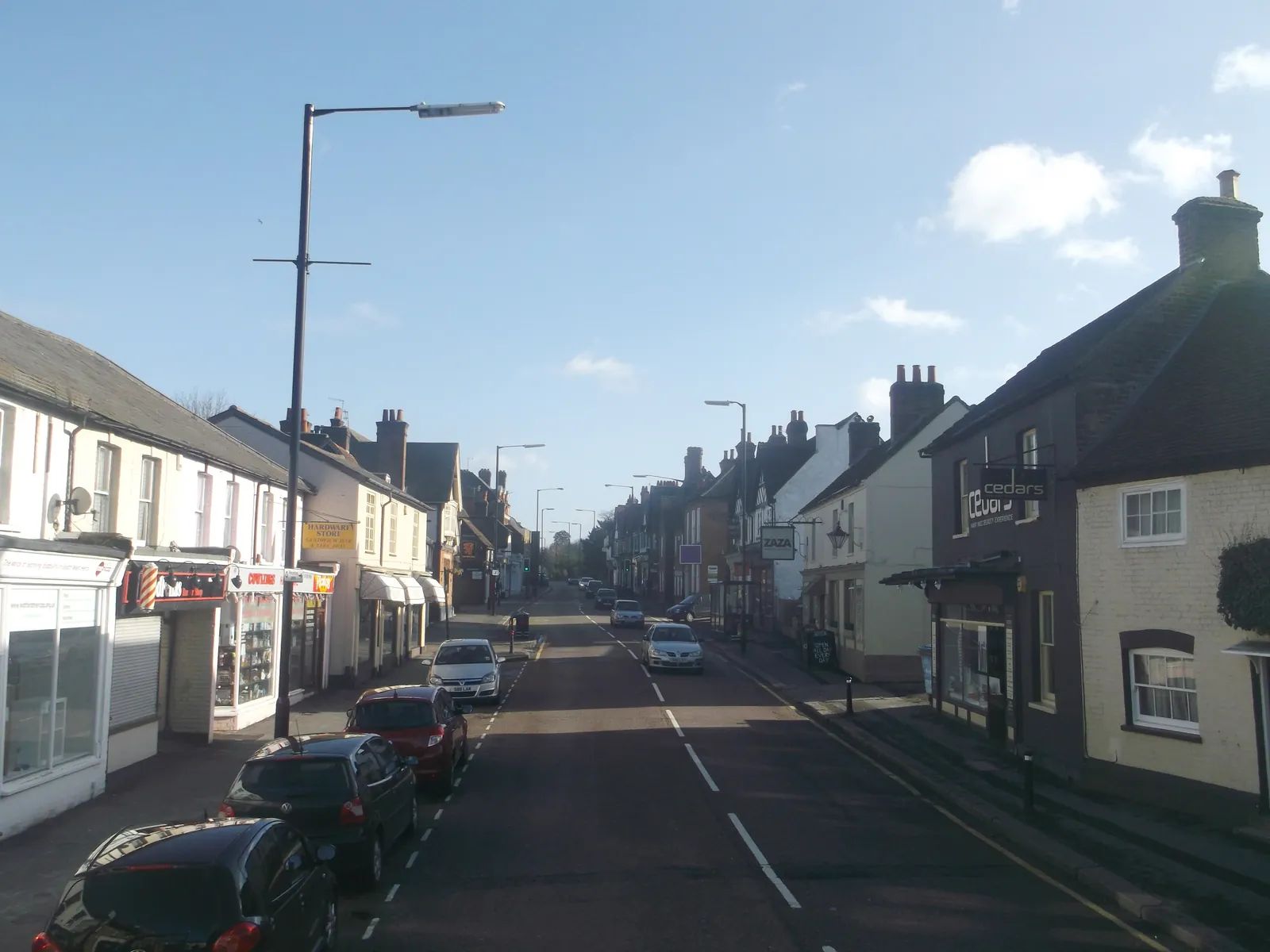
Bushey's three conservation areas, including the Bushey Heath, High Road Conservation Area, give the town a different historic and habitat setting from Borehamwood. Watling Chase Community Forest and the Metropolitan Green Belt complete the context. The appraisal should identify whether further species surveys are needed.
Hertsmere Borough Council assesses effects on habitats and species under Policy SADM10 of the Site Allocations and Development Management Policies Plan, adopted on 23 November 2016, and Policy CS12 of the Core Strategy, adopted on 16 January 2013. Confirm the current validation requirements with the council before submitting.
Local plan: Hertsmere Local Plan 2012-2027 (Core Strategy, Site Allocations and Development Management Policies Plan, and Elstree Way Corridor Area Action Plan) (The Core Strategy was adopted on 16 January 2013, the Elstree Way Corridor Area Action Plan on 8 July 2015, and the Site Allocations and Development Management Policies Plan on 23 November 2016. These remain the adopted development plan as of 13 November 2026.)
SADM10: Biodiversity and Habitats
Resists development that would adversely affect an SSSI, Regionally Important Geological Site, Local Nature Reserve, Local Wildlife Site or a protected species, unless harm is avoided, adequately mitigated, or, as a last resort, compensated, and the benefits clearly outweigh the harm. Proposals should create, enhance or restore habitats and accord with the Biodiversity, Trees and Landscape SPD.
CS12: The Enhancement of the Natural Environment
Requires all development proposals to conserve and enhance the natural environment of the borough, including biodiversity, habitats, protected trees, landscape character, and sites of ecological and geological value, and to provide opportunities for habitat creation and enhancement throughout the life of a development.
General guidance for preliminary ecological appraisal (pea), not formal advice for your site.
Hertsmere Borough Council is the local planning authority.
Policy SADM10 and Policy CS12 apply where habitats, protected species or designated sites could be affected. A PEA is the usual first step. Confirm the current validation requirements with the council.
Yes, where the site could affect the Bushey High Street and Melbourne Road Conservation Area, the Bushey Heath, High Road Conservation Area, the Bushey Heath, The Lakes Conservation Area, or the Metropolitan Green Belt edge. A PEA should record the habitats actually present.