Featured partner
Recommended for Leatherhead

ROAVR Group
Tree, ecology, flood risk and topographical surveys for planning applications.
4.9 Google rating
Get a quote
Local experts.
Featured partner
Recommended for Leatherhead
Tree, ecology, flood risk and topographical surveys for planning applications.
4.9 Google rating
Local experts.
Independent ecology consultancy with its head office in Leatherhead, Surrey.
Environmental consultancy founded in 2004, with its head office on the Surrey Research…
Multi-disciplinary practice founded in 1985, offering arboriculture, ecology, landscape…
Ecological consultancy owned by Surrey Wildlife Trust, based at the Trust's offices in…
A first look at habitats along the River Mole in Leatherhead and Fetcham, and at the Mole Gap to Reigate Escarpment SAC immediately to the south, is what a preliminary ecological appraisal should provide before a layout is fixed. The appraisal also sets out the further surveys a planning application may need. The local planning authority is Mole Valley District Council. Policy EN9 of the Local Plan adopted on 15 October 2024 requires an assessment of effects on biodiversity and habitats, in line with BS 42020. The work should be done early, because some follow-up species surveys can only be completed in set seasons.
Local planning authority: Mole Valley District Council
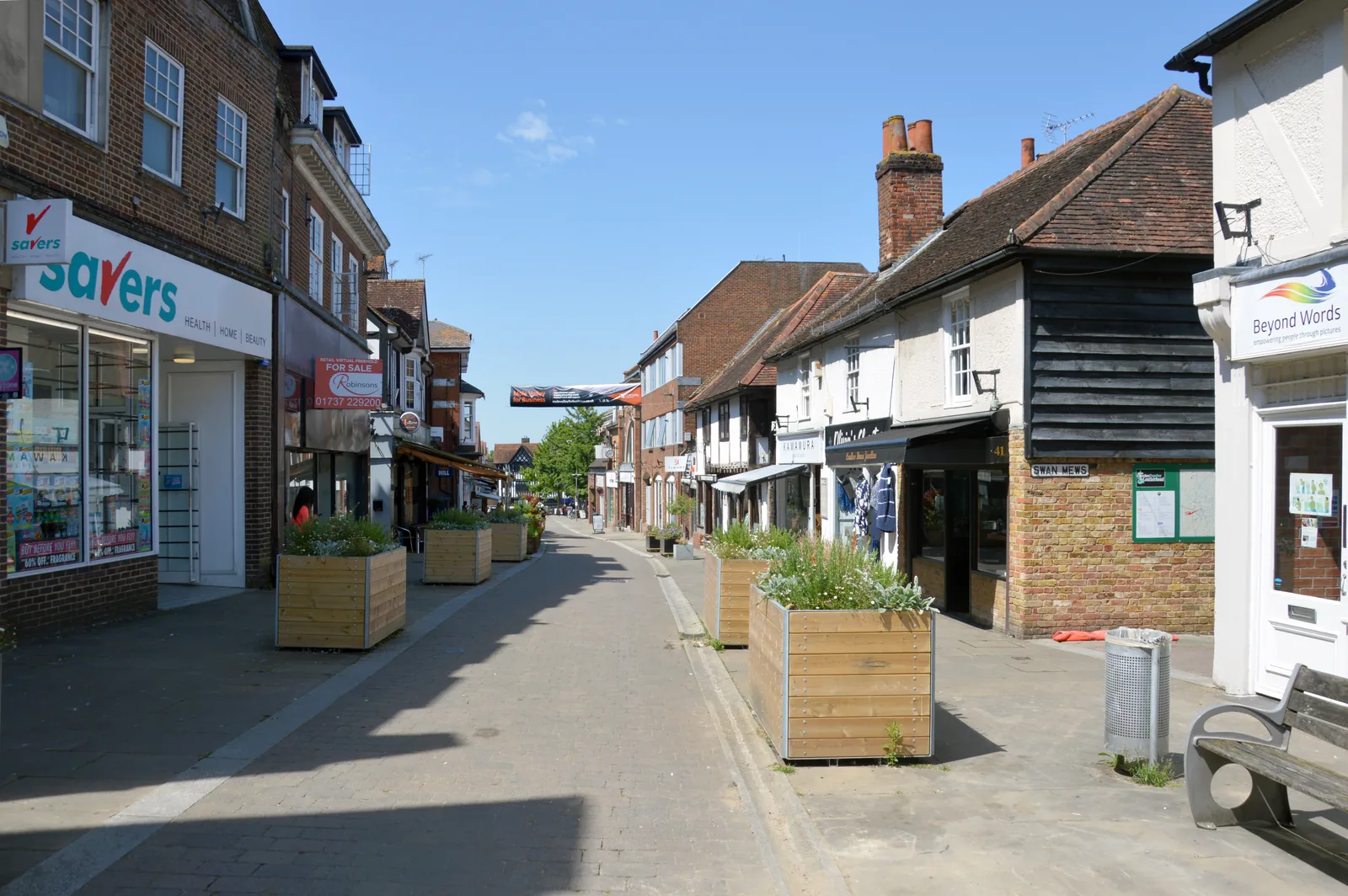
Leatherhead's main wildlife corridors are the River Mole and The Rye, with Fetcham on the western bank and groundwater potential along the floodplain. South of the town the North Downs, the Surrey Hills National Landscape and the Mole Gap to Reigate Escarpment SAC support calcareous habitats and bats, including Bechstein's bat in the wider gap. Gardens, railway land and the Metropolitan Green Belt can also hold reptiles, nesting birds or roosts that later surveys may need to address.
Mole Valley District Council assesses effects on habitats and species under Policy EN9 of the Local Plan 2020-2039, adopted on 15 October 2024, which requires an assessment in line with BS 42020. A PEA is the usual way to show whether further protected-species or habitat surveys are needed, and it sits alongside any biodiversity net gain assessment. Confirm the current Local Validation Requirements, introduced on 10 November 2025, with the council before submitting.
Local plan: Mole Valley Local Plan 2020-2039 (Adopted on 15 October 2024. The plan looks ahead to 2039. Local Validation Requirements and Biodiversity Net Gain Requirements were introduced on 10 November 2025 for applications submitted on or after that date.)
DS23: Pixham End, Southern Parcel, Dorking
Site allocation in Dorking that, among other requirements, asks for retention of mature trees, sustainable drainage for fluvial and groundwater flood risk, and mitigation for effects on the Mole Gap to Reigate Escarpment SAC, with particular regard to Bechstein's bat habitat.
General guidance for preliminary ecological appraisal (pea), not formal advice for your site.
Mole Valley District Council. From 1 April 2027 planning powers pass to the new East Surrey unitary council under local government reorganisation.
Where a site contains or is next to habitats, watercourses, buildings or trees that could support protected or priority species, or designated sites under Policy EN9, including the River Mole and the Mole Gap to Reigate Escarpment SAC. Confirm the current Local Validation Requirements with the council.
No. A PEA identifies habitats, species and further survey needs. A net gain assessment uses the statutory metric to show at least 10 per cent gain, unless a higher figure is justified on a specific allocation. Many applications need both.