Featured partner
Recommended for Redhill

ROAVR Group
Tree, ecology, flood risk and topographical surveys for planning applications.
4.9 Google rating
Get a quote
Local experts.
Featured partner
Recommended for Redhill
Tree, ecology, flood risk and topographical surveys for planning applications.
4.9 Google rating
Local experts.
Independent ecology consultancy with its head office in Leatherhead, Surrey.
Environmental consultancy founded in 2004, with its head office on the Surrey Research…
Multi-disciplinary practice founded in 1985, offering arboriculture, ecology, landscape…
Independent ecological consultancy with a Surrey office near Farnham, plus offices in…
Redhill Brook, Temple Wood and Serpentine Wood are typical reasons a preliminary ecological appraisal in Redhill should look beyond the red line. The appraisal is a first look at habitats and species, and at the further surveys a planning application may need. The local planning authority is Reigate and Banstead Borough Council. Policy NHE2 of the Development Management Plan, adopted on 26 September 2019, protects a hierarchy of designated sites, including the Mole Gap to Reigate Escarpment SAC, and expects effects on priority habitats and species to be assessed.
Local planning authority: Reigate and Banstead Borough Council
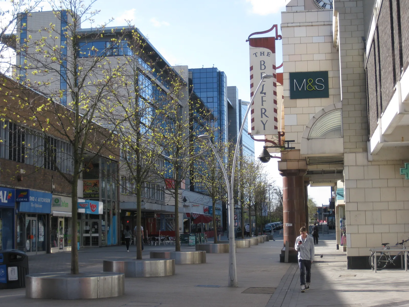
Redhill's main habitat features inside the urban area are the Redhill Brook corridor and the woodland and ponds at Temple Wood and Serpentine Wood, with the Metropolitan Green Belt on the edge of the town. To the west, some sites may fall inside the 3.5 km Bechstein's bat zone around the Mole Gap to Reigate Escarpment SAC. Gardens, railway land and culvert edges can also support bats, reptiles, amphibians and nesting birds.
Reigate and Banstead Borough Council assesses effects on habitats and species under Policy NHE2 of the Development Management Plan, adopted on 26 September 2019, including Appropriate Assessment where a proposal could affect the Mole Gap to Reigate Escarpment SAC. A PEA is the usual way to show whether further protected-species or habitat surveys are needed, and it sits alongside any biodiversity net gain assessment. Confirm the current local validation requirements with the council before submitting.
Local plan: Reigate and Banstead Local Plan: Core Strategy (2014, reviewed 2019 and 2024) and Development Management Plan (adopted 26 September 2019, reviewed 24 September 2024) (The Core Strategy was adopted in 2014 and reviewed in 2019 and 2024. The Development Management Plan was formally adopted on 26 September 2019; the council approved and adopted the DMP Review on 24 September 2024, finding most policies did not need updating. These documents remain the adopted development plan.)
NHE2: Protecting and enhancing biodiversity and areas of geological importance
Affords the highest protection to internationally designated sites, including the Mole Gap to Reigate Escarpment SAC, and requires Appropriate Assessment where significant effects are likely. Major development within 3.5 km of the SAC that may support commuting and foraging habitat must have regard to Bechstein's bat, with relevant surveys and retention or mitigation of key features plus a suitable buffer. The policy also protects SSSIs, SNCIs, RIGSs and LNRs, and expects development throughout the borough, especially in Biodiversity Opportunity Areas, to retain and enhance valued habitats and, wherever possible, to achieve a net gain in biodiversity. It does not set a percentage above the later statutory 10 per cent duty.
General guidance for preliminary ecological appraisal (pea), not formal advice for your site.
Reigate and Banstead Borough Council. From 1 April 2027 planning powers pass to the new East Surrey unitary council under local government reorganisation.
Where a site contains or is next to habitats, watercourses, buildings or trees that could support protected or priority species, or designated sites under Policy NHE2, including Redhill Brook, Temple Wood, Serpentine Wood, or land within 3.5 km of the Mole Gap to Reigate Escarpment SAC. Confirm the current list with the council.
No. A PEA identifies habitats, species and further survey needs. A net gain assessment uses the statutory metric to show at least 10 per cent gain. Many applications need both.