Featured partner
Recommended for Uxbridge

ROAVR Group
Tree, ecology, flood risk and topographical surveys for planning applications.
4.9 Google rating
Get a quote
Local experts.
Featured partner
Recommended for Uxbridge
Tree, ecology, flood risk and topographical surveys for planning applications.
4.9 Google rating
Local experts.
London-based ecological consultancy in Muswell Hill.
Environmental and ecology consultancy with a London office at Holyrood Street, near…
London environmental consultancy based at Marshalsea Road, Southwark, formerly trading…
Environmental consultancy founded in 2004, with its head office on the Surrey Research…
Plots beside the River Colne, the Frays River or the Grand Union Canal are typical reasons a preliminary ecological appraisal in Uxbridge should look beyond the red line. For applications the local planning authority is the London Borough of Hillingdon. Policy DMEI 7 of Local Plan Part 2, adopted on 16 January 2020, requires appropriate surveys and assessments if development is proposed on or near a feature of ecological value, and a positive contribution to its protection and enhancement. Policy EM7 of Local Plan Part 1 also protects Sites of Importance for Nature Conservation and named sites including Fray's Farm Meadows.
Local planning authority: London Borough of Hillingdon
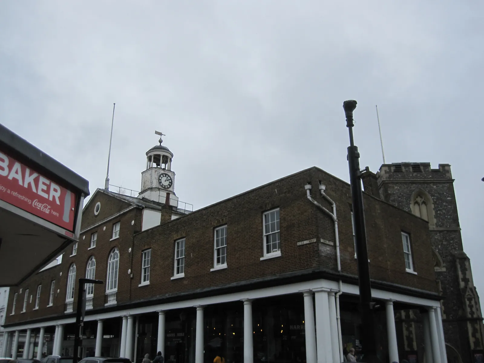
The Colne Valley Regional Park, Fray's Farm Meadows, the Grand Union Canal and gardens or parkland at St Andrew's Park and Uxbridge Common can support bats, riparian species, reptiles and nesting birds. A PEA should identify which further surveys are needed and sit alongside any biodiversity net gain assessment.
The London Borough of Hillingdon assesses effects on habitats and species under Policy DMEI 7 of Local Plan Part 2, adopted on 16 January 2020, and Policy EM7 of Local Plan Part 1, together with London Plan Policy G6, published on 2 March 2021. A PEA is the usual way to show whether further protected-species or habitat surveys are needed. Confirm the current local validation requirements with the council before submitting.
Local plan: Hillingdon Local Plan Part 1: Strategic Policies (adopted 8 November 2012), Hillingdon Local Plan Part 2: Development Management Policies (adopted 16 January 2020) and The London Plan 2021 (published 2 March 2021) (Local Plan Part 1 was adopted on 8 November 2012 and Local Plan Part 2 on 16 January 2020. Both remain the adopted borough development plan as of 13 November 2026, together with the London Plan 2021, published on 2 March 2021. A Local Plan review is under way, with adoption aimed at 22 January 2029; it is not adopted and is not used in these drafts. The draft London Plan 2026 is in consultation and is not adopted. There is no 2027 successor council. The London Borough of Hillingdon is the local planning authority and the Lead Local Flood Authority.)
DMHB 14: Trees and Landscaping
Requires development to retain or enhance existing landscaping, trees, biodiversity or other natural features of merit, and to provide a landscape scheme. Applications that would affect existing trees must provide an accurate tree survey showing location, height, spread and species. Where the survey identifies trees of merit, root protection areas and an arboricultural method statement are required. Where trees are removed, proposals for on-site replanting or contributions to off-site provision must be made.
DMEI 7: Biodiversity Protection and Enhancement
Requires the design and layout of new development to retain and enhance existing features of biodiversity or geological value. Where loss of a significant feature is unavoidable, equivalent replacement should be provided on-site, or off-site contributions sought if the site is constrained. Applications on or near features of ecological value must submit appropriate surveys and assessments and make a positive contribution to protection and enhancement. Development alongside a main river or the Grand Union Canal is expected to contribute to additional biodiversity improvements. Proposals that result in significant harm which cannot be avoided, mitigated or compensated for will normally be refused.
DMEI 8: Waterside Development
Requires development on sites that adjoin or include a watercourse not to extend within 8 metres of the top of the bank of a main river or 5 metres either side of an ordinary watercourse, unless an appropriate width is agreed. It seeks environmental enhancements to open sections, restoration of culverts where feasible, and a high design quality that respects the character of the waterway. All development alongside or with a frontage on the Grand Union Canal is expected to contribute to improvement of the canal.
DMEI 9: Management of Flood Risk
Requires development in Flood Zones 2 and 3a to demonstrate that there are no suitable sites in areas of lower flood risk, to locate development on the lowest-risk parts of the site, and to submit an appropriate flood risk assessment showing resilience to all sources of flooding. Finished floor levels should reflect the Environment Agency's latest climate-change guidance. Development in Flood Zone 3b will be refused in principle unless it is an appropriate use and is supported by an FRA. Proposals that fail to make appropriate provision, or which would increase flood risk, will be refused.
EM6: Flood Risk Management
Requires new development to be directed away from Flood Zones 2 and 3 in accordance with the NPPF, and requires all development across the borough to use sustainable urban drainage systems unless it is demonstrated that this is not viable.
EM7: Biodiversity and Geological Conservation
Requires Hillingdon's biodiversity and geological conservation to be preserved and enhanced, with particular attention to the natural state of the Colne Valley Regional Park, Fray's Farm Meadows, Harefield Gravel Pits and Harefield Pit, to the protection of Sites of Importance for Nature Conservation, and to protected and priority species. It also seeks biodiversity improvements from all development where feasible, including green roofs, living walls and sustainable drainage that promotes habitats.
G6: Biodiversity and access to nature
London Plan Policy G6 requires development proposals to manage impacts on biodiversity and aim to secure net biodiversity gain. Sites of Importance for Nature Conservation should be protected. The policy does not set a percentage.
G7: Trees and woodlands
Requires existing trees of value to be retained wherever possible. Where trees are removed, there should be adequate replacement based on the value of the benefits lost, determined by a method such as i-Tree or CAVAT. Additional planting, particularly of large-canopied species, should generally be included.
SI 12: Flood risk management
Requires development proposals to minimise and mitigate flood risk and address residual risk, including, where possible, making space for water and setting development back from watercourses. In London the boroughs are the Lead Local Flood Authorities.
General guidance for preliminary ecological appraisal (pea), not formal advice for your site.
London Borough of Hillingdon. The London Plan also forms part of the development plan. The borough is the Lead Local Flood Authority. There is no 2027 successor council for this borough.
Where a site is on or near the River Colne, the Frays River, the Grand Union Canal, Fray's Farm Meadows or the Colne Valley Regional Park, or where Policy DMEI 7 requires surveys because a feature of ecological value may be affected. Confirm the current requirements with the council.
No. A PEA identifies habitats and the need for further surveys. Qualifying applications also need a statutory biodiversity net gain assessment. The two pieces of work should be coordinated.
No other published town guides for this survey in the council area yet.