Featured partner
Recommended for Epsom

ROAVR Group
Tree, ecology, flood risk and topographical surveys for planning applications.
4.9 Google rating
Get a quote
Local experts.
Featured partner
Recommended for Epsom
Tree, ecology, flood risk and topographical surveys for planning applications.
4.9 Google rating
Local experts.
Independent ecology consultancy with its head office in Leatherhead, Surrey.
Environmental consultancy founded in 2004, with its head office on the Surrey Research…
Multi-disciplinary practice founded in 1985, offering arboriculture, ecology, landscape…
Independent ecological consultancy with a Surrey office near Farnham, plus offices in…
Epsom Common, Nonsuch Park and the slopes of Epsom Downs can support reptiles, bats, nesting birds and other notable species, so a protected species survey in Epsom often has to look at those parks and downs as well as the application site. The local planning authority is Epsom and Ewell Borough Council. Policy DM4 of the Development Management Policies Document, dated September 2015, permits development affecting legally protected species only where appropriate mitigation and compensatory measures are agreed, with no net loss of biodiversity. The survey follows a preliminary appraisal that has flagged a likely risk.
Local planning authority: Epsom and Ewell Borough Council
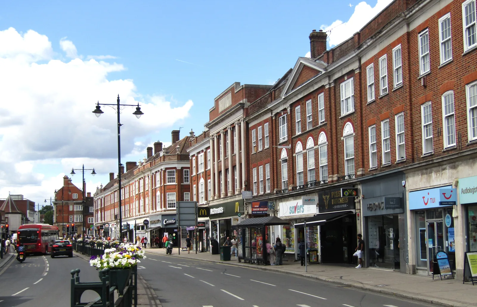
Epsom Common, Nonsuch Park, the Metropolitan Green Belt and the chalk of Epsom Downs are the main ecological setting around the town. Depending on the site, further survey may be needed for reptiles, great crested newt, bats, nesting birds or notable plants. The upper River Hogsmill catchment lies to the north, but a PEA should identify which surveys are actually needed on the specific site.
Epsom and Ewell Borough Council assesses effects on protected and priority species under Policy DM4 of the Development Management Policies Document, dated September 2015, including the no-net-loss and net-benefit tests. Confirm the current local validation requirements with the council before submitting.
Local plan: Epsom and Ewell Core Strategy (2007) and Development Management Policies Document (2015) (The Core Strategy was adopted on 24 July 2007. The Development Management Policies Document is dated September 2015 and remains, with the Core Strategy, the adopted development plan. A new Local Plan 2022-2040 was submitted for examination on 10 March 2025 and had not been adopted as of 13 November 2026.)
DM4: Biodiversity and New development
Restricts development affecting nature conservation sites and habitats of international, national or local importance except in defined circumstances. Development affecting sites or buildings that support legally protected species is only permitted if appropriate mitigation and compensatory measures are agreed, with no net loss of biodiversity. Whether or not statutory protection applies, every opportunity should be taken to secure a net benefit to the borough's biodiversity, including an assessment of existing nature conservation assets at application stage. The policy does not set a percentage net gain.
General guidance for protected species survey, not formal advice for your site.
Epsom and Ewell Borough Council. From 1 April 2027 planning powers pass to the new East Surrey unitary council under local government reorganisation.
Depending on the site: bats in buildings and mature trees, reptiles on rough ground and the edges of Epsom Common or Epsom Downs, great crested newt where suitable ponds exist, and nesting birds. A PEA should identify which surveys are actually needed.
No. Protected species surveys deal with individual species on or next to the site under Policy DM4 and wildlife law. A net gain assessment uses the statutory metric to show at least 10 per cent habitat gain. Some applications need both.
No other published town guides for this survey in the council area yet.