Featured partner
Recommended for Oxford

ROAVR Group
Tree, ecology, flood risk and topographical surveys for planning applications.
4.9 Google rating
Get a quote
Local experts.
Featured partner
Recommended for Oxford
Tree, ecology, flood risk and topographical surveys for planning applications.
4.9 Google rating
Local experts.
Ecological consultancy whose own contact page publishes an Oxfordshire office at 18 Di…
Ecological consultancy whose own contact page publishes an Oxford office at Hampden…
Ecological consultancy whose own contact page publishes offices at Hexagon Business…
Ecological consultancy, part of the Aspect practice, whose own contact page publishes a…
A protected species survey in Oxford is often needed where work could affect the Central (University and City) Conservation Area, or the Oxford Meadows Special Area of Conservation. Oxford City Council is the local planning authority. Policy G2 is the adopted biodiversity policy, and Oxford City Council applies the statutory 10 per cent biodiversity net gain minimum. Habitats in the Central (University and City) Conservation Area and at the Oxford Meadows Special Area of Conservation can support bats, birds and other protected species. It is the historic university city around the Central (University and City) Conservation Area and the Oxford Meadows Special Area of Conservation, quite unlike the market towns of Banbury or Abingdon. Confirm the current validation requirements with the council before submitting.
Local planning authority: Oxford City Council
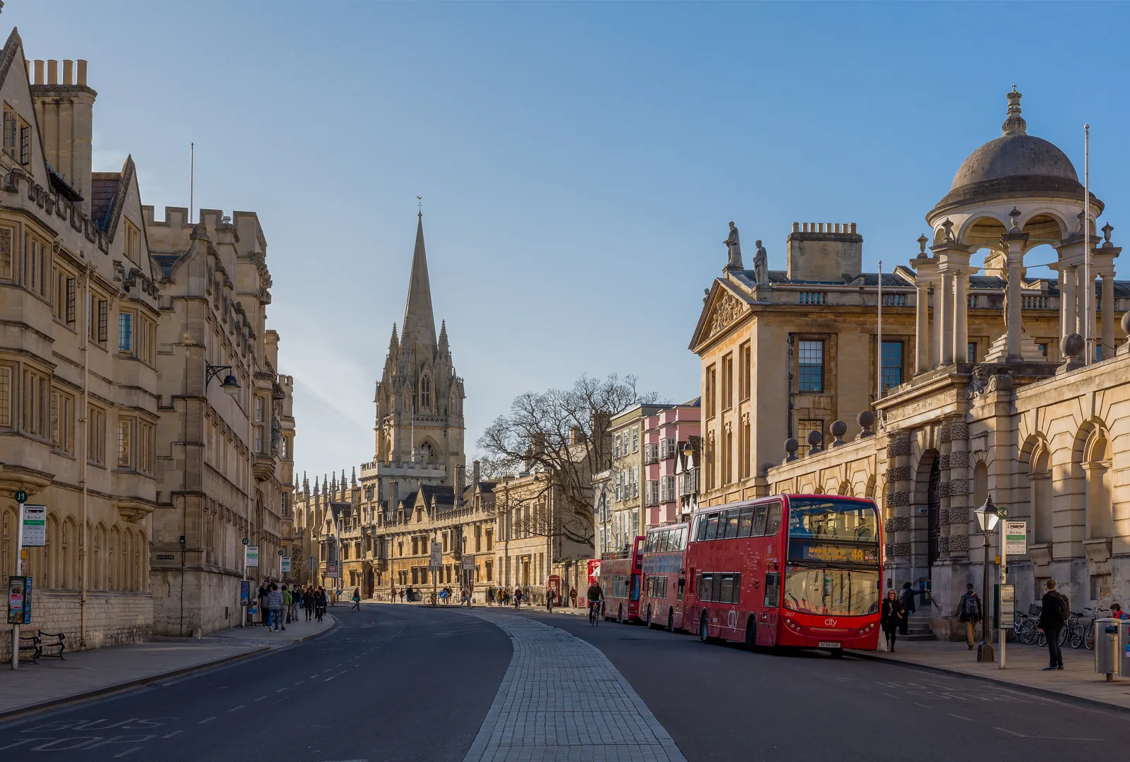
Oxford is in the area of Oxford City Council. It is the historic university city around the Central (University and City) Conservation Area and the Oxford Meadows Special Area of Conservation, quite unlike the market towns of Banbury or Abingdon. The adopted Oxford Local Plan 2016-2036 applies here. The Central (University and City) Conservation Area and the Oxford Meadows Special Area of Conservation are the official features that shape protected species survey work here. Oxfordshire County Council is the Lead Local Flood Authority. There is no confirmed successor council for Oxfordshire.
In Oxford, including around the Central (University and City) Conservation Area and at the Oxford Meadows Special Area of Conservation, the same adopted local plan policies apply. Oxford City Council assesses protected species under Policy G2 of the Oxford Local Plan 2016-2036. Policy G2 (Protection of biodiversity and geo-diversity) of the Oxford Local Plan 2016-2036, adopted on 8 June 2020, is the adopted biodiversity policy. It states that development that results in a net loss of sites and species of ecological value will not be permitted, and protects sites of national or international importance including the Oxford Meadows Special Area of Conservation and Sites of Special Scientific Interest. The policy does not set a higher than statutory biodiversity net gain percentage. Oxford City Council applies the statutory 10 per cent minimum. Confirm the current validation requirements with the council before submitting.
Local plan: Oxford Local Plan 2016-2036 (adopted)
G2: Protection of biodiversity and geo-diversity
Policy G2 (Protection of biodiversity and geo-diversity) of the Oxford Local Plan 2016-2036, adopted on 8 June 2020, is the adopted biodiversity policy. It states that development that results in a net loss of sites and species of ecological value will not be permitted, and protects sites of national or international importance including the Oxford Meadows Special Area of Conservation and Sites of Special Scientific Interest. The policy does not set a higher than statutory biodiversity net gain percentage. Oxford City Council applies the statutory 10 per cent minimum.
RE3: Flood risk management
Policy RE3 (Flood risk management) of the Oxford Local Plan 2016-2036, adopted on 8 June 2020, directs new development towards areas of low flood risk (Flood Zone 1), applies the sequential and exception tests, and requires a site-specific Flood Risk Assessment for development within Flood Zone 2 or 3, on sites larger than one hectare in Flood Zone 1, and in areas identified as Critical Drainage Areas.
G7: Protection of existing Green Infrastructure features
Policy G7 (Protection of existing Green Infrastructure features) of the Oxford Local Plan 2016-2036, adopted on 8 June 2020, provides that planning permission will not be granted for development that results in the loss of green infrastructure features such as hedgerows, trees or woodland where this would have a significant adverse impact upon public amenity or ecological interest, and will not be granted for development resulting in the loss or deterioration of ancient woodland or ancient or veteran trees except in wholly exceptional circumstances.
General guidance for protected species survey, not formal advice for your site.
Oxford City Council. Oxfordshire County Council is the Lead Local Flood Authority. There is no confirmed successor council for Oxfordshire.
A protected species survey in Oxford is often needed where development could affect species or habitats in the Central (University and City) Conservation Area or at the Oxford Meadows Special Area of Conservation. Confirm the current validation requirements with the council.
The Central (University and City) Conservation Area and the Oxford Meadows Special Area of Conservation are official features that can support protected species. Confirm the current validation requirements with the council.
No other published town guides for this survey in the council area yet.