Featured partner
Recommended for Bletchley

ROAVR Group
Tree, ecology, flood risk and topographical surveys for planning applications.
4.9 Google rating
Get a quote
Local experts.
Featured partner
Recommended for Bletchley
Tree, ecology, flood risk and topographical surveys for planning applications.
4.9 Google rating
Local experts.
Land and measured survey practice whose own topographical-surveys and contact pages give…
Buckinghamshire-based land and measured building survey company whose own site gives a…
Land survey and site engineering practice based in Chesham, north-west of the M25.
A topographical survey in Bletchley is often needed to record levels and site features in the Bletchley Conservation Area or at Bletchley Park before a planning application is drawn up. Milton Keynes City Council is the local planning authority. Accurate levels matter in the Bletchley Conservation Area and at Bletchley Park, including on sites that may sit in areas of flood risk or where trees and historic buildings need to be recorded. A topographical survey is the usual way to record existing buildings, trees, boundaries and ground levels. It is the historic town on the southern side of Milton Keynes, defined by the Bletchley Conservation Area and by Bletchley Park, quite unlike Central Milton Keynes or Newport Pagnell to the north. Confirm the current validation requirements with the council before submitting.
Local planning authority: Milton Keynes City Council
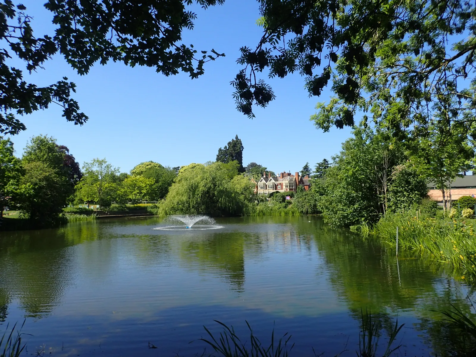
Bletchley is in the area of Milton Keynes City Council. It is the historic town on the southern side of Milton Keynes, defined by the Bletchley Conservation Area and by Bletchley Park, quite unlike Central Milton Keynes or Newport Pagnell to the north. The Bletchley Conservation Area and the Bletchley Park are the official features that shape topographical survey work here. Milton Keynes City Council is also the Lead Local Flood Authority. There is no confirmed 2027 successor council for Buckinghamshire or Milton Keynes.
In Bletchley, including around the Bletchley Conservation Area and at Bletchley Park, the same adopted local plan policies apply. Milton Keynes City Council assesses site levels, flood risk and trees under Policy FR1 and Policy NE4 of the Plan:MK. A topographical survey is the usual way to record existing buildings, trees, boundaries and ground levels before a planning application is drawn up. Confirm the current validation requirements with the council before submitting.
Local plan: Plan:MK (Plan:MK, adopted on 20 March 2019, is the statutory local plan as of 15 November 2026 and covers 2016–2031. A later local plan had not been adopted as of that date.)
NE3: Biodiversity and Geological Enhancement
Policy NE3 (Biodiversity and Geological Enhancement) of Plan:MK requires development to maintain and protect biodiversity and geological resources, to seek measurable biodiversity net gain, and to secure mitigation, compensation and enhancement for the lifetime of the development. The policy does not set a higher than statutory percentage standard. Milton Keynes City Council applies the statutory 10 per cent biodiversity net gain minimum.
General guidance for topographical survey, not formal advice for your site.
Milton Keynes City Council. Milton Keynes City Council is also the Lead Local Flood Authority. There is no confirmed 2027 successor council for Buckinghamshire or Milton Keynes.
A topographical survey in Bletchley is often needed to record levels and site features in the Bletchley Conservation Area or at Bletchley Park before a planning application is drawn up. Confirm the current validation requirements with the council.
Accurate levels matter in the Bletchley Conservation Area and at Bletchley Park, including on sites that may sit in areas of flood risk or where historic buildings and trees need to be recorded. Confirm the current validation requirements with the council.