Featured partner
Recommended for Bromley

ROAVR Group
Tree, ecology, flood risk and topographical surveys for planning applications.
4.9 Google rating
Get a quote
Local experts.
Featured partner
Recommended for Bromley
Tree, ecology, flood risk and topographical surveys for planning applications.
4.9 Google rating
Local experts.
Land and measured-building survey practice with a London office in Crystal Palace.
Measured building and land surveyors trading from 111 Gosterwood Street in Deptford, in…
Land and building surveying company with offices in Surrey (Dunsfold Park), London,…
Land survey and site engineering practice based in Chesham, north-west of the M25.
Levels around Bromley Town Centre, Market Square and Church House Gardens are a frequent reason for a topographical survey in Bromley. An accurate survey of the site, neighbouring land and any nearby watercourse supports drainage design and tree protection. The local planning authority is the London Borough of Bromley. The Validation Guidance of January 2025 asks for a land survey with spot heights as part of tree survey work, and a topographical level survey may also support a flood risk assessment. Policy 115 of the Bromley Local Plan, adopted on 16 January 2019, relies on accurate site information. Policy SI13 of the London Plan, published on 2 March 2021, also forms part of the development plan.
Local planning authority: London Borough of Bromley
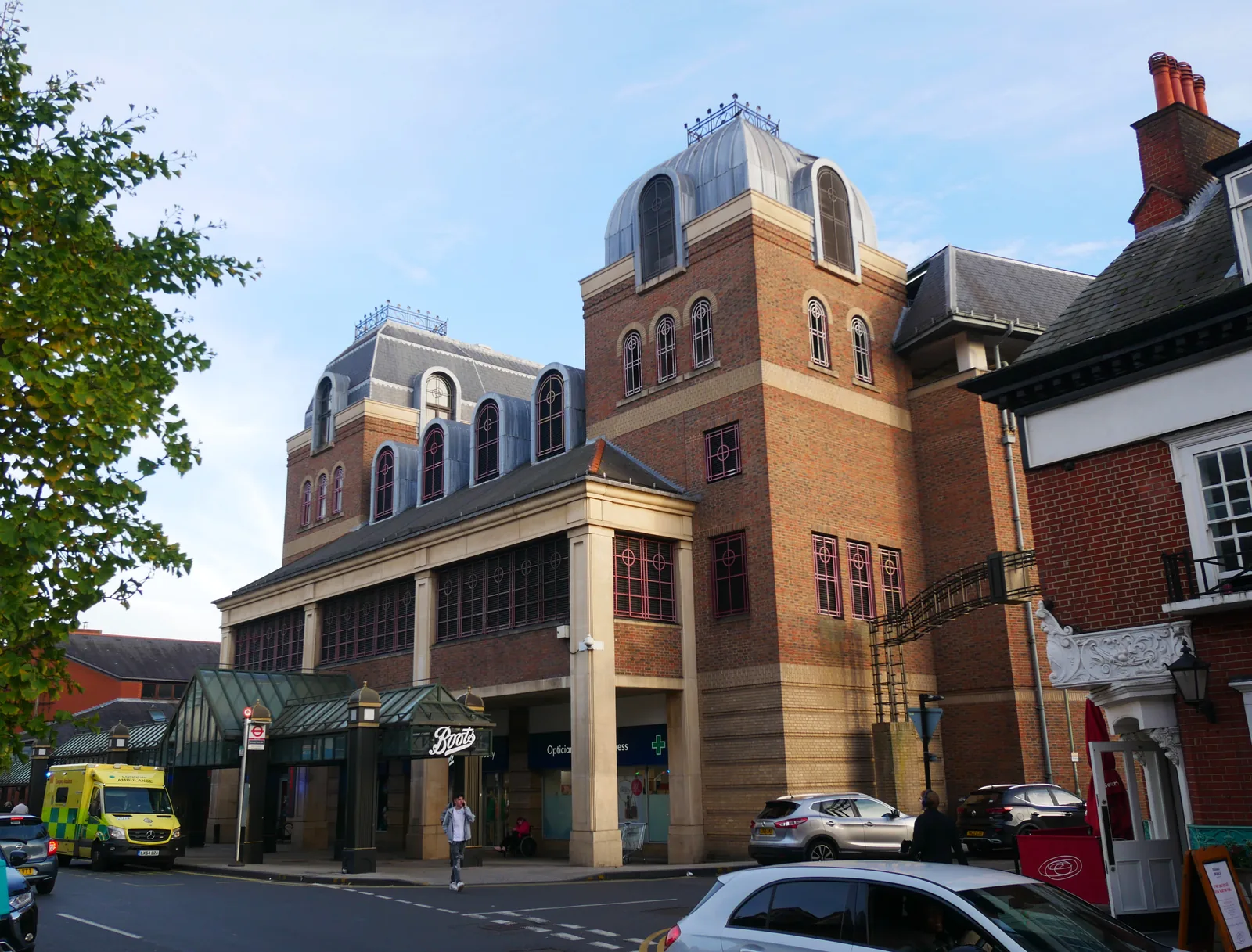
A topographical survey in Bromley Town Centre should record the fall of the land toward the River Ravensbourne and Church House Gardens, together with any drainage path relevant to surface water flood risk. The same survey is often used to plot root protection areas around Market Square and Bromley North.
The London Borough of Bromley uses topographical information to support tree and flood policies in the Bromley Local Plan, adopted on 16 January 2019, including Policies 73, 115 and 116, together with the London Plan, published on 2 March 2021. The Validation Guidance of January 2025 should be checked for current drawing and survey requirements before submitting.
Local plan: Bromley Local Plan (The Bromley Local Plan was adopted on 16 January 2019 and remains the adopted local plan. A review is under way but is not treated as adopted policy. The London Plan, published on 2 March 2021, also forms part of the development plan. There is no 2027 successor council for this borough.)
Policy 73: Development and Trees
Policy 73 of the Bromley Local Plan, adopted on 16 January 2019, seeks the retention of healthy trees of amenity value and, where development may affect important trees, requires a tree survey and arboricultural implications assessment in accordance with BS5837.
Policy 72: Protected Species
Policy 72 resists development that would have an adverse effect on protected species unless mitigating measures can be secured.
Policy 115: Reducing Flood Risk
Policy 115 requires a flood risk assessment in Flood Zones 2 and 3, in surface water flood risk hotspots, and for major development across the borough, and applies the sequential and exception tests.
Policy 116: Sustainable Urban Drainage Systems
Policy 116 requires developments to incorporate sustainable drainage and requires a site-specific flood risk assessment in Flood Zones 2, 3a and 3b and in Flood Zone 1 surface water hotspots.
Policy 79: Biodiversity and Access to Nature
Policy 79 requires the Council to enhance biodiversity across the borough and assist ecological restoration. It does not set a biodiversity net gain percentage above the national minimum.
General guidance for topographical survey, not formal advice for your site.
The London Borough of Bromley. The London Plan also forms part of the development plan. The borough is the Lead Local Flood Authority. There is no 2027 successor council for this borough.
Accurate levels are needed to support a flood risk or drainage assessment under Policies 115 and 116, especially close to the River Ravensbourne or where surface water flood risk is a concern, and to plot root protection areas under Policy 73 around Church House Gardens and Bromley Town Centre.
Yes. The London Plan, published on 2 March 2021, forms part of the development plan. The London Plan forms part of the development plan alongside the Bromley Local Plan adopted on 16 January 2019.