Featured partner
Recommended for Canary Wharf

ROAVR Group
Tree, ecology, flood risk and topographical surveys for planning applications.
4.9 Google rating
Get a quote
Local experts.
Featured partner
Recommended for Canary Wharf
Tree, ecology, flood risk and topographical surveys for planning applications.
4.9 Google rating
Local experts.
Measured building and land surveyors trading from 111 Gosterwood Street in Deptford, in…
Land and building surveying company with offices in Surrey (Dunsfold Park), London,…
Land and measured-building survey practice with a London office in Crystal Palace.
Land survey and site engineering practice based in Chesham, north-west of the M25.
A topographical survey at Canary Wharf records levels, dock edges, boundaries and features around One Canada Square and the West India Docks, and it underpins tree, drainage and design work on the Isle of Dogs. The local planning authority is the London Borough of Tower Hamlets. Policy D.ES3 of the Tower Hamlets Local Plan 2031, adopted on 15 January 2020, addresses urban greening and trees, usually plotted on an accurate survey. Policies D.ES4 and D.ES5 also rely on site levels when flood risk and sustainable drainage are assessed beside the River Thames. Policy G7 of the London Plan, published on 2 March 2021, also forms part of the development plan.
Local planning authority: London Borough of Tower Hamlets
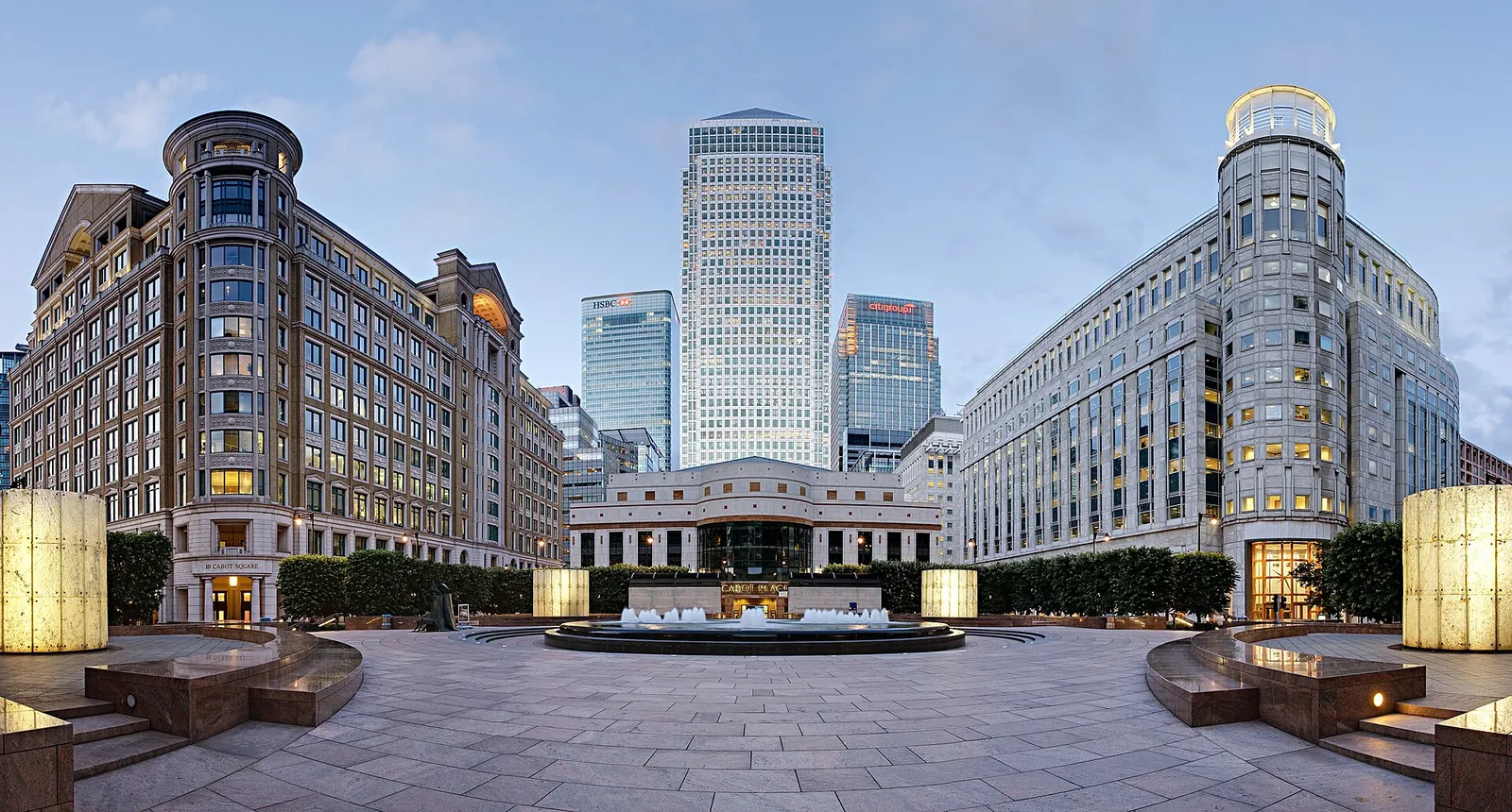
A survey at Canary Wharf should pick up trees, levels, dock walls and land next to the River Thames and the West India Docks, especially where residual tidal flood risk is a concern around One Canada Square on the Isle of Dogs. Whitechapel and Chrisp Street are areas covered on these pages.
The London Borough of Tower Hamlets uses accurate site information when it assesses urban greening under Policy D.ES3 and flood risk and drainage under Policies D.ES4 and D.ES5 of the Tower Hamlets Local Plan 2031, adopted on 15 January 2020, together with the London Plan published on 2 March 2021. Confirm the current local validation requirements with the council before submitting.
Local plan: Tower Hamlets Local Plan 2031: Managing Growth and Sharing Benefits (The Tower Hamlets Local Plan 2031: Managing Growth and Sharing Benefits was adopted on 15 January 2020 and remains the adopted local plan. The London Plan, published on 2 March 2021, also forms part of the development plan. There is no 2027 successor council for this borough.)
D.ES3: Urban greening and biodiversity
Policy D.ES3 of the Tower Hamlets Local Plan 2031, adopted on 15 January 2020, addresses urban greening and biodiversity, including trees and net gain. It does not set a biodiversity net gain percentage above the national minimum.
D.ES4: Flood risk
Policy D.ES4 addresses flood risk, including residual tidal risk behind the Thames Barrier and flood defences on the Isle of Dogs.
D.ES5: Sustainable drainage
Policy D.ES5 requires sustainable drainage in new development.
General guidance for topographical survey, not formal advice for your site.
The London Borough of Tower Hamlets. The London Plan also forms part of the development plan. The borough is the Lead Local Flood Authority. There is no 2027 successor council for this borough.
An accurate survey of levels, dock edges, trees and boundaries supports the tree and greening work expected under Policy D.ES3 and the flood risk and drainage work required by Policies D.ES4 and D.ES5.
Yes. The London Plan, published on 2 March 2021, forms part of the development plan. Policy G7 and Policies SI12 and SI13 are the London Plan policies most often read alongside a site survey.
No other published town guides for this survey in the council area yet.