Featured partner
Recommended for Clapham Junction

ROAVR Group
Tree, ecology, flood risk and topographical surveys for planning applications.
4.9 Google rating
Get a quote
Local experts.
Featured partner
Recommended for Clapham Junction
Tree, ecology, flood risk and topographical surveys for planning applications.
4.9 Google rating
Local experts.
Land and measured-building survey practice with a London office in Crystal Palace.
Land and building surveying company with offices in Surrey (Dunsfold Park), London,…
Land survey and site engineering practice based in Chesham, north-west of the M25.
Surveying and construction consultancy with its head office at Merrow Business Park in…
A topographical survey in Clapham Junction should pick up the levels, buildings, trees and boundaries around Clapham Junction Conservation Area and St John's Hill. Accurate levels matter for drainage design, flood-risk modelling, access and the relationship with neighbouring heritage streets. London Borough of Wandsworth is the local planning authority, and the London Plan, published on 2 March 2021, also forms part of the development plan. The survey should be tied to a recognised datum and should show features that will constrain the layout, including street trees and changes of level. Confirm the current validation requirements with the council before submitting.
Local planning authority: London Borough of Wandsworth
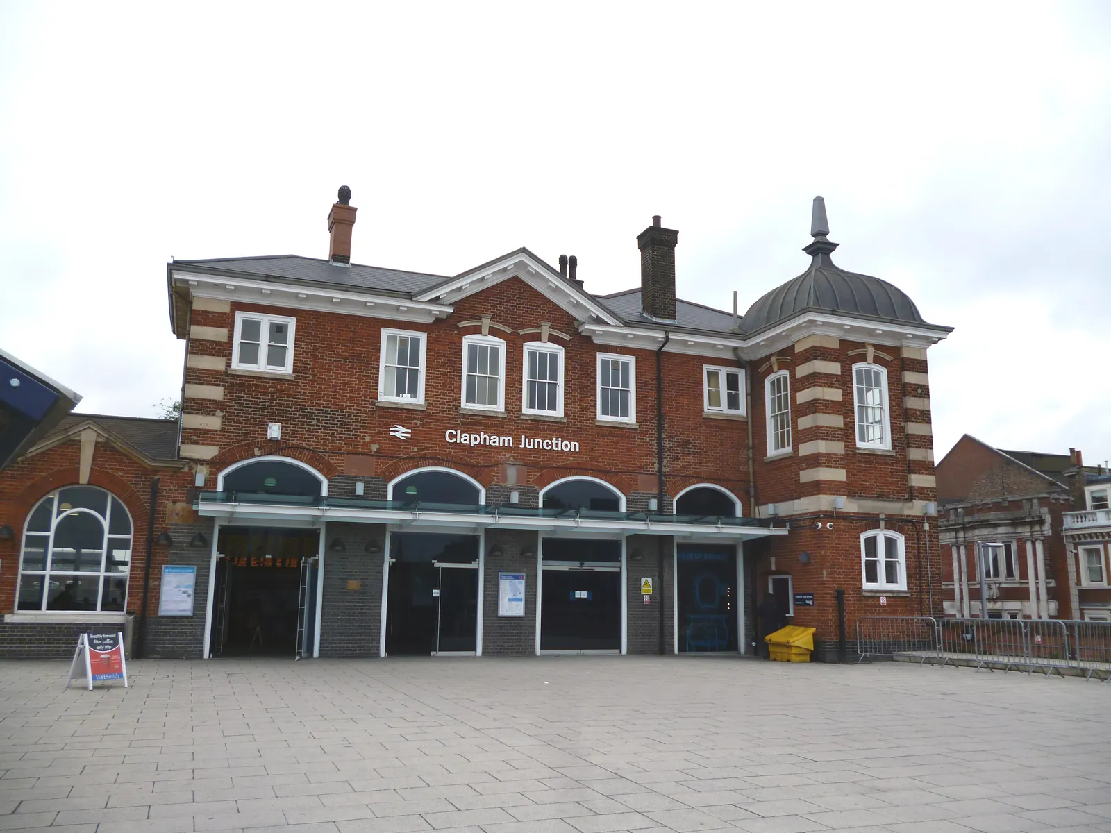
Clapham Junction is the railway interchange major centre around Clapham Junction Conservation Area, St John's Hill, Lavender Hill and Falcon Road. That station and hill setting is not Wandsworth Town Centre, the Wandle Delta or Battersea Park, and it is not Putney's Thames embankment or Tooting Broadway. Levels and tree positions around Clapham Junction Conservation Area and St John's Hill are the usual starting point for a measured survey.
In Clapham Junction, including around Clapham Junction Conservation Area and St John's Hill, the London Borough of Wandsworth uses topographical information to support flood, tree and design policies in the Wandsworth Local Plan, adopted on 19 July 2023, including Policies LP12 and LP56, together with the London Plan, published on 2 March 2021. The Local Validation Checklist of July 2026 should be checked for current drawing and survey requirements before submitting. Confirm the current validation requirements with the council before submitting.
Local plan: Wandsworth Local Plan 2023–2038 (adopted 19 July 2023), Wandsworth Local Plan Partial Review (adopted 4 March 2026) and The London Plan 2021 (published 2 March 2021) (The Wandsworth Local Plan 2023–2038 was adopted on 19 July 2023. The Local Plan Partial Review, adopted on 4 March 2026, replaces only Policies LP23, LP24, LP28, LP29, LP30 and LP31 (housing and affordable housing). All other 2023 policies, including those on trees, biodiversity and flood risk, remain in force. The London Plan 2021, published on 2 March 2021, also forms part of the development plan. The draft London Plan 2026 is in consultation and is not adopted. There is no 2027 successor council. The London Borough of Wandsworth is the local planning authority and the Lead Local Flood Authority.)
LP56: Tree Management and Landscaping
Requires the retention and protection of existing trees and landscape features, including veteran trees, and resists loss of trees of townscape or amenity value except in limited circumstances. Trees must be protected during development in accordance with BS5837, with appropriate on-site replacement or a CAVAT contribution where a tree is felled.
LP55: Biodiversity
Requires development to protect and enhance biodiversity, including designated sites, priority species and habitats, and to deliver a net gain in biodiversity through ecological enhancements. The supporting text identifies the River Thames, the River Wandle, Beverley Brook and railway land as protected biodiversity areas, and records bats, stag beetles and other protected species in the borough.
LP12: Water and Flooding
Requires all planning applications to demonstrate that proposals avoid or reduce contributing to all sources of flooding, take account of climate change, and would not increase flood risk elsewhere. Development is guided to areas of lower risk by the Sequential Test, and a Flood Emergency Plan is required in Flood Zones 2 and 3 on sites of 10 or more dwellings or 1,000 square metres of non-residential development, or where safe access cannot be achieved.
General guidance for topographical survey, not formal advice for your site.
London Borough of Wandsworth. The London Plan also forms part of the development plan. The borough is the Lead Local Flood Authority. There is no 2027 successor council for this borough.
When a planning application in Clapham Junction could affect trees, habitats, heritage, flood risk or existing buildings around Clapham Junction Conservation Area and St John's Hill. Confirm the current validation requirements with the council.
Yes. The London Plan, published on 2 March 2021, forms part of the development plan in Clapham Junction alongside the London Borough of Wandsworth local plan.