Featured partner
Recommended for Crowthorne

ROAVR Group
Tree, ecology, flood risk and topographical surveys for planning applications.
4.9 Google rating
Get a quote
Local experts.
Featured partner
Recommended for Crowthorne
Tree, ecology, flood risk and topographical surveys for planning applications.
4.9 Google rating
Local experts.
Land surveying practice whose own site gives a Maidenhead office at 12 Golden Ball Lane,…
Measured survey company founded in Cranleigh and now based in Camberley, with a second…
Land survey and site engineering practice based in Chesham, north-west of the M25.
Surveying and construction consultancy with its head office at Merrow Business Park in…
A topographical survey in Crowthorne is often needed to record levels and site features in the Crowthorne Conservation Area or at Wellington College Bog SSSI before a planning application is drawn up. Bracknell Forest Council is the local planning authority. Accurate levels matter in the Crowthorne Conservation Area and at Wellington College Bog SSSI, including on sites that may sit in areas of flood risk or where trees and historic buildings need to be recorded. A topographical survey is the usual way to record existing buildings, trees, boundaries and ground levels. It is a heathland settlement on the southern edge of Bracknell Forest, known for Wellington College, quite unlike the planned new town of Bracknell or the Blackwater valley town of Sandhurst. Confirm the current validation requirements with the council before submitting.
Local planning authority: Bracknell Forest Council
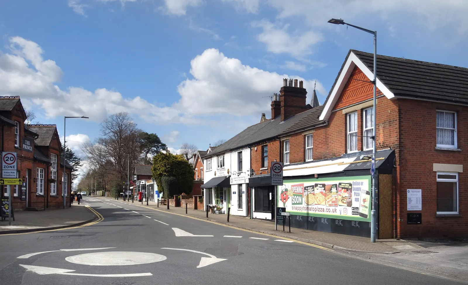
Crowthorne is in the area of Bracknell Forest Council. It is a heathland settlement on the southern edge of Bracknell Forest, known for Wellington College, quite unlike the planned new town of Bracknell or the Blackwater valley town of Sandhurst. The Crowthorne Conservation Area and the Wellington College Bog SSSI are the official features that shape topographical survey work here. Bracknell Forest Council is also the Lead Local Flood Authority. There is no confirmed 2027 successor council for Berkshire.
In Crowthorne, including around the Crowthorne Conservation Area and at Wellington College Bog SSSI, the same adopted local plan policies apply. Bracknell Forest Council assesses site levels, flood risk and trees under Policy LP33 and Policy LP57 and Policy LP54 of the Bracknell Forest Local Plan. A topographical survey is the usual way to record existing buildings, trees, boundaries and ground levels before a planning application is drawn up. Confirm the current validation requirements with the council before submitting.
Local plan: Bracknell Forest Local Plan (The Bracknell Forest Local Plan, adopted on 19 March 2024, is the statutory development plan as of 15 November 2026 and looks to 2037.)
LP53: Biodiversity
Policy LP53 (Biodiversity) says biodiversity will be protected and enhanced. Development must apply the mitigation hierarchy of avoidance, mitigation and compensation. A minimum of 10 per cent biodiversity net gain will be required. Suitable ecological information must be provided before an application is determined. The 10 per cent figure restates the statutory minimum and is not a higher than statutory standard.
LP57: Sustainable Drainage Systems (SuDs)
Policy LP57 (Sustainable Drainage Systems (SuDs)) says major development, and development in flood-risk areas identified in the Strategic Flood Risk Assessment, must incorporate sustainable drainage systems (SuDS).
General guidance for topographical survey, not formal advice for your site.
Bracknell Forest Council. Bracknell Forest Council is also the Lead Local Flood Authority. There is no confirmed 2027 successor council for Berkshire.
A topographical survey in Crowthorne is often needed to record levels and site features in the Crowthorne Conservation Area or at Wellington College Bog SSSI before a planning application is drawn up. Confirm the current validation requirements with the council.
Accurate levels matter in the Crowthorne Conservation Area and at Wellington College Bog SSSI, including on sites that may sit in areas of flood risk or where historic buildings and trees need to be recorded. Confirm the current validation requirements with the council.