Featured partner
Recommended for Epping

ROAVR Group
Tree, ecology, flood risk and topographical surveys for planning applications.
4.9 Google rating
Get a quote
Local experts.
Featured partner
Recommended for Epping
Tree, ecology, flood risk and topographical surveys for planning applications.
4.9 Google rating
Local experts.
Measured building and land surveyors trading from 111 Gosterwood Street in Deptford, in…
Land and building surveying company with offices in Surrey (Dunsfold Park), London,…
Land and measured-building survey practice with a London office in Crystal Palace.
Surveying and construction consultancy with its head office at Merrow Business Park in…
A topographical survey in Epping is often needed to record levels, trees and boundaries in the Epping Conservation Area or the Bell Common Conservation Area. Epping Forest District Council will use that survey when it considers design, landscaping and drainage under the Local Plan 2011-2033, adopted on 6 March 2023. The sloping High Street building line and the open common should both be plotted accurately before any layout is fixed. Confirm the current validation requirements with the council before submitting.
Local planning authority: Epping Forest District Council
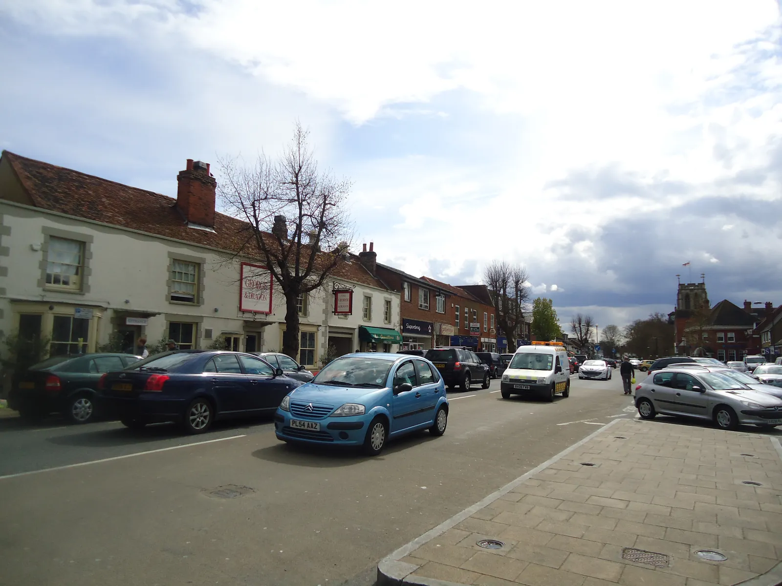
Epping is an Epping Forest District Council market town just outside the M25, distinct from Loughton on The Hills and from Waltham Abbey on the River Lea. The Epping Conservation Area and the Bell Common Conservation Area are the official local designations. Essex County Council is the Lead Local Flood Authority. There is no confirmed 2027 successor council.
In Epping, including around Epping Conservation Area and Bell Common Conservation Area, the same adopted local plan policies apply. Epping Forest District Council will expect drawings that rely on site levels, including flood risk assessments under Policy DM15 of the Local Plan 2011-2033, adopted on 6 March 2023, and tree or habitat work under Policy DM1. A topographical survey is often the evidence that ties those assessments together. Confirm the current validation requirements with the council before submitting.
Local plan: Epping Forest District Local Plan 2011-2033 (Adopted on 6 March 2023 and still in force as of 13 November 2026.)
DM1: Habitat Protection and Improving Biodiversity
Requires all development to seek to deliver net biodiversity gain in addition to protecting existing habitats and species, to avoid harm to habitats, species and corridors, and not to permit significant impacts on internationally or nationally designated sites. The loss of irreplaceable habitats such as veteran trees and ancient woodland will not be permitted unless the need and benefits clearly outweigh the loss. Monitoring of mitigation, compensation and offsetting may be secured by condition.
General guidance for topographical survey, not formal advice for your site.
Epping Forest District Council is the local planning authority. Essex County Council is the Lead Local Flood Authority. There is no confirmed 2027 successor council.
When a planning application in Epping could affect trees, habitats, heritage, flood risk or existing buildings around Epping Conservation Area and Bell Common Conservation Area. Confirm the current validation requirements with the council.
They often do, because Epping Conservation Area and Bell Common Conservation Area are official local features that shape how Epping Forest District Council considers applications. Confirm the current validation requirements with the council.