Featured partner
Recommended for Fareham

ROAVR Group
Tree, ecology, flood risk and topographical surveys for planning applications.
4.9 Google rating
Get a quote
Local experts.
Featured partner
Recommended for Fareham
Tree, ecology, flood risk and topographical surveys for planning applications.
4.9 Google rating
Local experts.
Land surveying practice whose own site publishes an office at 27 Flagpond Road,…
Land surveying practice whose own site publishes an office at 21 Kingsway, Chandler's…
Land and measured survey practice whose own contact and topographical-surveys pages…
A topographical survey in Fareham is often needed where work could affect the Fareham High Street Conservation Area, or the Town Quay Conservation Area. Fareham Borough Council is the local planning authority. Accurate levels are often needed around the Fareham High Street Conservation Area and at the Town Quay Conservation Area before a planning application is drawn up, including on sites that may sit in areas of flood risk or where historic buildings and trees need to be recorded. It is a harbour-side town around the Fareham High Street Conservation Area and the Town Quay Conservation Area, quite unlike Gosport on the peninsula or Portsmouth across the harbour. The adopted Fareham Local Plan 2037 applies here. Confirm the current validation requirements with the council before submitting.
Local planning authority: Fareham Borough Council
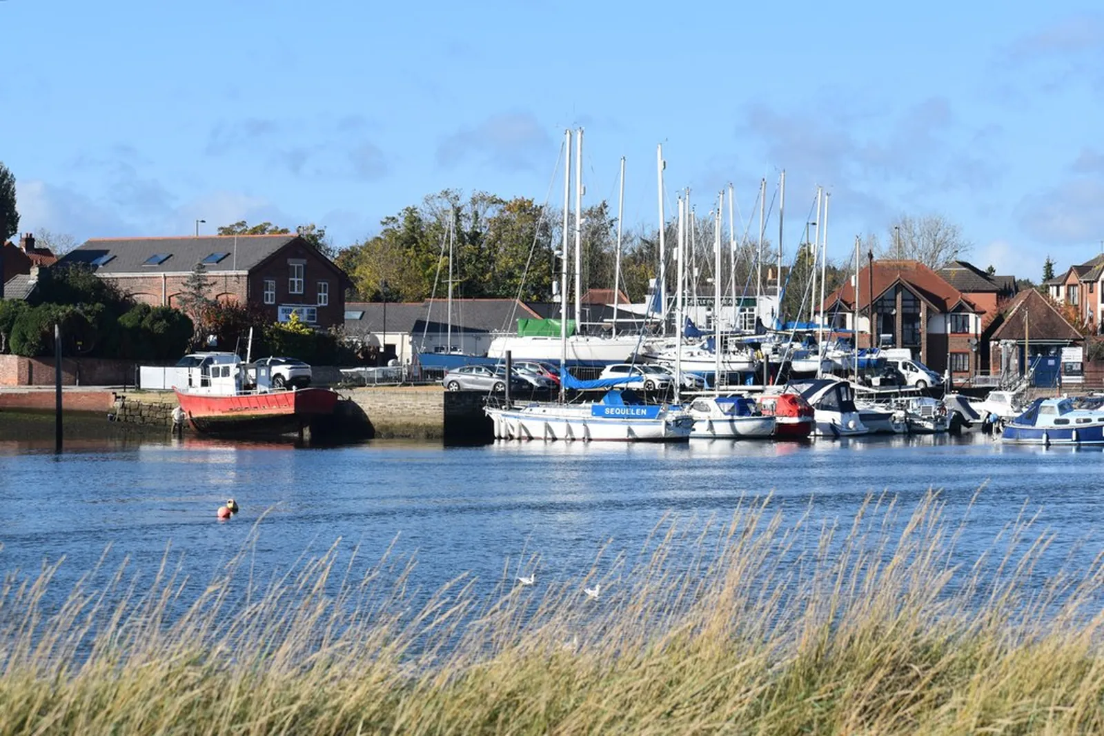
Fareham is in the area of Fareham Borough Council. It is a harbour-side town around the Fareham High Street Conservation Area and the Town Quay Conservation Area, quite unlike Gosport on the peninsula or Portsmouth across the harbour. The adopted Fareham Local Plan 2037 applies here. The Fareham High Street Conservation Area and the Town Quay Conservation Area are the official features that shape topographical survey work here. Hampshire County Council is the Lead Local Flood Authority. There is no confirmed 2027 successor council for Hampshire.
In Fareham, including around the Fareham High Street Conservation Area and at the Town Quay Conservation Area, the same adopted local plan policies apply. Fareham Borough Council will need accurate site levels and features around the Fareham High Street Conservation Area and at the Town Quay Conservation Area to support planning drawings, tree protection and, where relevant, flood risk assessment under Policy CC2. Confirm the current validation requirements with the council before submitting.
Local plan: Fareham Local Plan 2037 (adopted)
NE1: Protection of Nature Conservation, Biodiversity and the Local Ecological Network
Strategic Policy NE1 (Protection of Nature Conservation, Biodiversity and the Local Ecological Network) of the Fareham Local Plan 2037, adopted on 5 April 2023, permits development where designated international, national and local sites of nature conservation value are protected and enhanced, reflecting their status.
NE2: Biodiversity Net Gain
Policy NE2 (Biodiversity Net Gain) of the Fareham Local Plan 2037, adopted on 5 April 2023, requires the development of one or more dwellings or a new commercial or leisure building to provide at least 10 per cent net gains for biodiversity from the existing baseline value of the site, maintained for a minimum of 30 years. The borough council applies the statutory 10 per cent minimum.
CC2: Managing Flood Risk and Sustainable Drainage Systems
Policy CC2 (Managing Flood Risk and Sustainable Drainage Systems) of the Fareham Local Plan 2037, adopted on 5 April 2023, grants planning permission where the proposal meets the sequential and exception tests in the NPPF, does not prejudice land required for flood management, will be safe over its lifetime without increasing flood risk elsewhere, and manages on-site surface water as close to the source as possible. Major developments are required, and minor developments encouraged, to incorporate Sustainable Drainage Systems.
NE6: Trees, Woodland and Hedgerows
Policy NE6 (Trees, Woodland and Hedgerows) of the Fareham Local Plan 2037, adopted on 5 April 2023, permits development which retains protected and non-protected trees, hedgerows and woodland, particularly those of high amenity value, or, where there is clear justification for their removal, provides suitable replacement, and where practicable provides new trees, woodland and hedgerows. The removal of protected trees, veteran trees, ancient woodland or hedgerows will only be permitted in exceptional circumstances.
General guidance for topographical survey, not formal advice for your site.
Fareham Borough Council. Hampshire County Council is the Lead Local Flood Authority. There is no confirmed 2027 successor council for Hampshire.
A topographical survey in Fareham is often needed to record levels and site features in the Fareham High Street Conservation Area or at the Town Quay Conservation Area before a planning application is drawn up. Confirm the current validation requirements with the council.
Accurate levels matter in the Fareham High Street Conservation Area and at the Town Quay Conservation Area, including on sites that may sit in areas of flood risk or where historic buildings and trees need to be recorded. Confirm the current validation requirements with the council.
No other published town guides for this survey in the council area yet.