Featured partner
Recommended for Farnborough

ROAVR Group
Tree, ecology, flood risk and topographical surveys for planning applications.
4.9 Google rating
Get a quote
Local experts.
Featured partner
Recommended for Farnborough
Tree, ecology, flood risk and topographical surveys for planning applications.
4.9 Google rating
Local experts.
Measured survey company founded in Cranleigh and now based in Camberley, with a second…
Surveying and construction consultancy with its head office at Merrow Business Park in…
Land and engineering survey practice whose own contact page gives a trading address at…
A topographical survey in Farnborough is often needed where work could affect the Farnborough Hill Conservation Area, or the St Michael's Abbey Conservation Area. Rushmoor Borough Council is the local planning authority. Accurate levels are often needed around the Farnborough Hill Conservation Area and at the St Michael's Abbey Conservation Area before a planning application is drawn up, including on sites that may sit in areas of flood risk or where historic buildings and trees need to be recorded. It is a Rushmoor town around the Farnborough Hill Conservation Area and St Michael's Abbey Conservation Area, quite unlike Aldershot immediately to the south, which is shaped by the Aldershot Military Conservation Area and the Aldershot West Conservation Area. The adopted Rushmoor Local Plan 2014-2032 applies here. Confirm the current validation requirements with the council before submitting.
Local planning authority: Rushmoor Borough Council
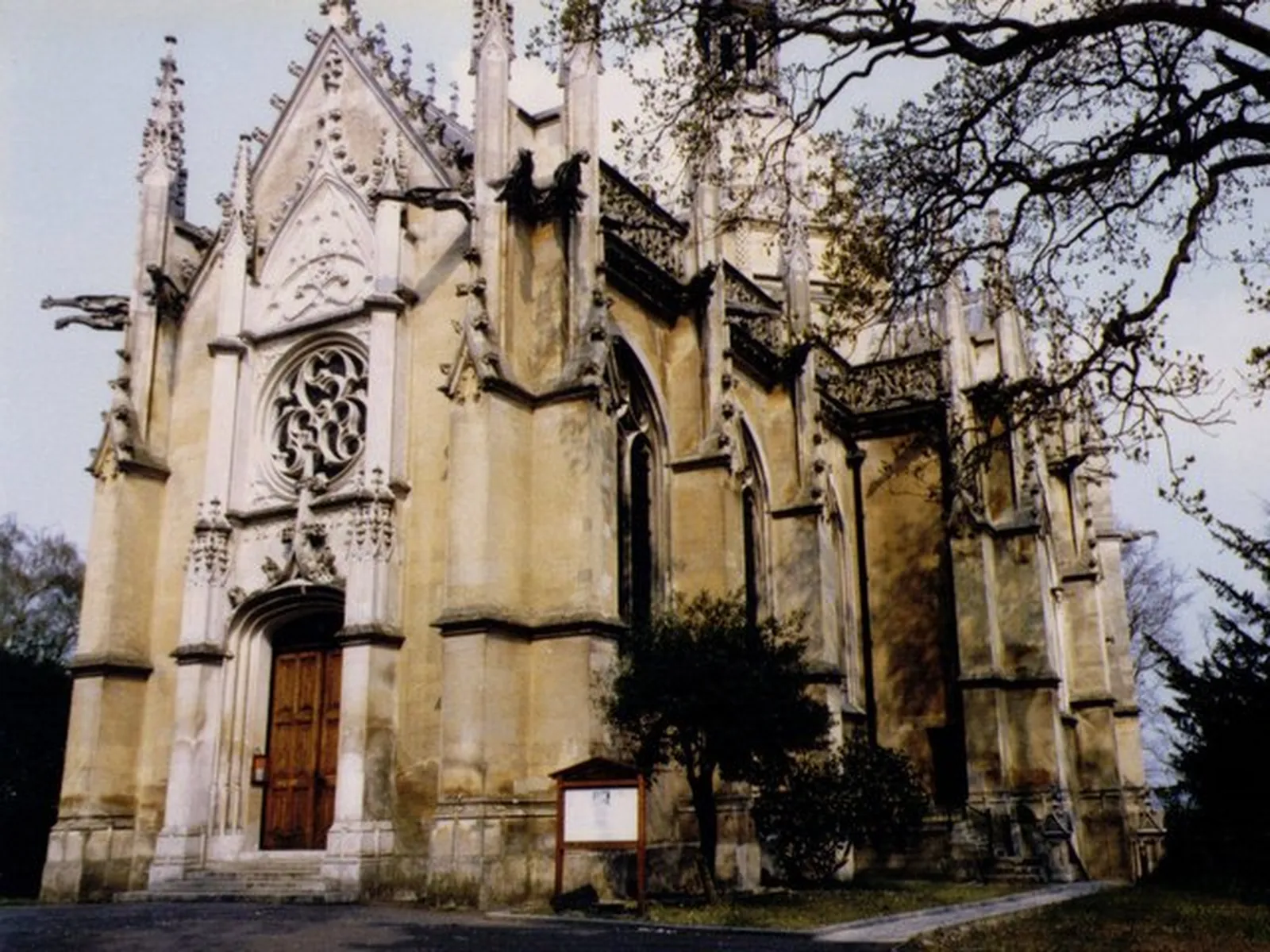
Farnborough is in the area of Rushmoor Borough Council. It is a Rushmoor town around the Farnborough Hill Conservation Area and St Michael's Abbey Conservation Area, quite unlike Aldershot immediately to the south, which is shaped by the Aldershot Military Conservation Area and the Aldershot West Conservation Area. The adopted Rushmoor Local Plan 2014-2032 applies here. The Farnborough Hill Conservation Area and the St Michael's Abbey Conservation Area are the official features that shape topographical survey work here. Hampshire County Council is the Lead Local Flood Authority. There is no confirmed 2027 successor council for Hampshire.
In Farnborough, including around the Farnborough Hill Conservation Area and at the St Michael's Abbey Conservation Area, the same adopted local plan policies apply. Rushmoor Borough Council will need accurate site levels and features around the Farnborough Hill Conservation Area and at the St Michael's Abbey Conservation Area to support planning drawings, tree protection and, where relevant, flood risk assessment under Policy NE6. Confirm the current validation requirements with the council before submitting.
Local plan: Rushmoor Local Plan 2014-2032 (adopted)
NE4: Biodiversity
Policy NE4 (Biodiversity) of the Rushmoor Local Plan 2014-2032, adopted on 21 February 2019, permits development proposals if significant harm to biodiversity and/or geodiversity can be avoided or adequately mitigated, and requires proposals to seek opportunities to enhance biodiversity and include proportionate measures to contribute, where possible, to a net gain in biodiversity. The policy does not set a higher than statutory biodiversity net gain percentage.
NE6: Managing Fluvial Flood Risk
Policy NE6 (Managing Fluvial Flood Risk) of the Rushmoor Local Plan 2014-2032, adopted on 21 February 2019, directs new development to areas of lowest risk, giving highest priority to Flood Zone 1, and permits development in areas at risk of flooding only where the proposed use is appropriate and the proposal passes the sequential and exception tests.
NE8: Sustainable Drainage Systems
Policy NE8 (Sustainable Drainage Systems) of the Rushmoor Local Plan 2014-2032, adopted on 21 February 2019, is the adopted policy for sustainable drainage systems.
NE3: Trees and Landscaping
Policy NE3 (Trees and Landscaping) of the Rushmoor Local Plan 2014-2032, adopted on 21 February 2019, does not permit development which would affect adversely existing trees worthy of retention, particularly those subject to Tree Preservation Orders, and expects new development to make provision for tree and general planting in appropriate situations.
General guidance for topographical survey, not formal advice for your site.
Rushmoor Borough Council. Hampshire County Council is the Lead Local Flood Authority. There is no confirmed 2027 successor council for Hampshire.
A topographical survey in Farnborough is often needed to record levels and site features in the Farnborough Hill Conservation Area or at the St Michael's Abbey Conservation Area before a planning application is drawn up. Confirm the current validation requirements with the council.
Accurate levels matter in the Farnborough Hill Conservation Area and at the St Michael's Abbey Conservation Area, including on sites that may sit in areas of flood risk or where historic buildings and trees need to be recorded. Confirm the current validation requirements with the council.