Featured partner
Recommended for Hertford

ROAVR Group
Tree, ecology, flood risk and topographical surveys for planning applications.
4.9 Google rating
Get a quote
Local experts.
Featured partner
Recommended for Hertford
Tree, ecology, flood risk and topographical surveys for planning applications.
4.9 Google rating
Local experts.
Land and measured-building survey practice with its Welwyn office at Bridge Chambers,…
Stevenage land survey practice.
Bishop's Stortford site engineering and surveying practice.
Geospatial survey practice with its head office at Lea Business Park, Harpenden.
A topographical survey in Hertford is often needed to record levels and features around the Hertford Conservation Area and the Hertford Castle. East Hertfordshire District Council is the local planning authority. Measured levels matter around the castle, the river confluences and the historic streets. Hertford is the county town around Hertford Castle and a tightly built historic core, quite unlike Ware or Bishop's Stortford. Measured plans support tree surveys, flood risk assessments and layout drawings. Confirm the current validation requirements with the council before submitting.
Local planning authority: East Hertfordshire District Council
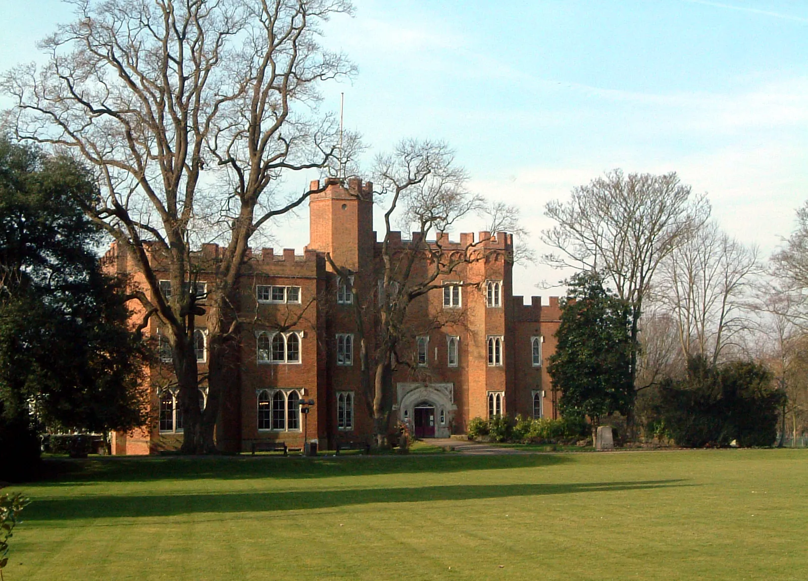
Hertford is in the area of East Hertfordshire District Council. Hertford is the county town around Hertford Castle and a tightly built historic core, quite unlike Ware or Bishop's Stortford. The Hertford Conservation Area and the Hertford Castle are the official features that shape survey work here. Hertfordshire County Council is the Lead Local Flood Authority. There is no confirmed 2027 successor council for Hertfordshire.
In Hertford, including around Hertford Conservation Area and Hertford Castle, the same adopted local plan policies apply. East Hertfordshire District Council will expect drawings that rely on site levels, including flood risk assessments under Policy WAT1 and landscape schemes under Policy DES3, to be based on a competent topographical survey. There is no single named topographical survey policy. Hertfordshire County Council is the Lead Local Flood Authority. Confirm the current validation requirements with the council before submitting.
Local plan: East Herts District Plan 2018 (The District Plan was adopted on 23 October 2018 and remains the statutory development plan as of 15 November 2026.)
NE2: Sites or Features of Nature Conservation Interest (Non-Designated)
Protects non-designated sites and features of nature conservation interest from development that would result in their loss or deterioration.
NE3: Species and Habitats
Requires development to enhance biodiversity and to protect species and habitats, including trees, hedgerows and ancient woodland, with an appropriate habitat buffer where required.
General guidance for topographical survey, not formal advice for your site.
East Hertfordshire District Council. There is no confirmed 2027 successor council for Hertfordshire. Hertfordshire County Council is the Lead Local Flood Authority.
A measured survey is often needed to record levels and features around the Hertford Conservation Area and the Hertford Castle. Measured levels matter around the castle, the river confluences and the historic streets. Confirm the current validation requirements with the council.
Measured plans support tree surveys, flood risk assessments and layout drawings.