Featured partner
Recommended for Hounslow

ROAVR Group
Tree, ecology, flood risk and topographical surveys for planning applications.
4.9 Google rating
Get a quote
Local experts.
Featured partner
Recommended for Hounslow
Tree, ecology, flood risk and topographical surveys for planning applications.
4.9 Google rating
Local experts.
Land survey practice based in Harrow, West London.
Land and building surveying company with offices in Surrey (Dunsfold Park), London,…
Land survey and site engineering practice based in Chesham, north-west of the M25.
Land and measured-building survey practice with a London office in Crystal Palace.
Accurate levels along the River Crane and the Duke of Northumberland's River, and street and building levels in Hounslow Town Centre, are why a topographical survey matters in Hounslow. For planning applications the local planning authority is the London Borough of Hounslow. Policy EQ3 of the Local Plan, adopted on 15 September 2015, promotes buffer zones to watercourses and the opening up of river corridors, and requires sustainable drainage. A measured survey is the usual way to show those water edges, thresholds and surface-water routes.
Local planning authority: London Borough of Hounslow
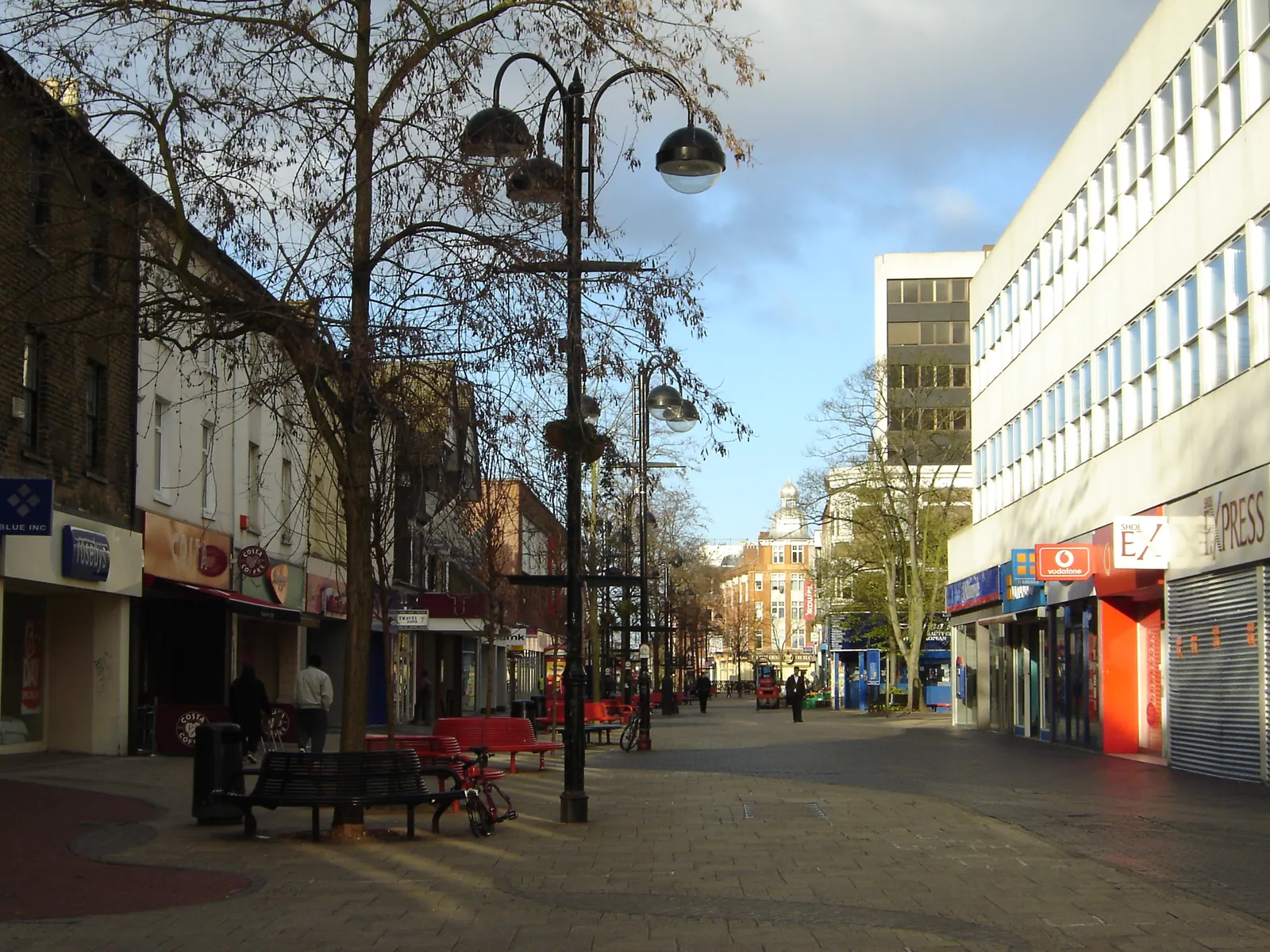
Hounslow High Street, Treaty Gardens, Lampton Park and Inwood Park need accurate levels for layout drawings. Sites toward the Crane Corridor and Hounslow Heath also need water edges and ground levels if a drainage strategy or waterside buffer depends on them.
The London Borough of Hounslow assesses flood risk and waterside layout under Policy EQ3 of the Local Plan, adopted on 15 September 2015, together with Policy GB4 on the green infrastructure network and London Plan Policy SI 12, published on 2 March 2021. Confirm current drawing standards and any validation requirements with the council before submitting.
Local plan: Hounslow Local Plan (adopted 15 September 2015) and The London Plan 2021 (published 2 March 2021) (The Hounslow Local Plan was adopted on 15 September 2015 and remains the adopted borough development plan as of 13 November 2026, together with the London Plan 2021, published on 2 March 2021. The draft London Plan 2026 is in consultation and is not adopted. There is no 2027 successor council. The London Borough of Hounslow is the local planning authority and the Lead Local Flood Authority.)
EQ3: Flood risk and surface water management
Requires development proposals to prepare flood risk assessments consistent with Environment Agency and Strategic Flood Risk Assessment requirements, to apply the sequential approach within site boundaries, to incorporate necessary flood resistance and resilience measures, and to incorporate sustainable urban drainage systems and avoid non-permeable hard standings, with the aim of achieving greenfield runoff rates. The policy also uses the sequential and exception tests to avoid inappropriate development in flood risk areas, and promotes opening up river corridors and buffer zones to watercourses.
G6: Biodiversity and access to nature
London Plan Policy G6 requires development proposals to manage impacts on biodiversity and aim to secure net biodiversity gain. Sites of Importance for Nature Conservation should be protected. The policy does not set a percentage.
G7: Trees and woodlands
Requires existing trees of value to be retained wherever possible. Where trees are removed, there should be adequate replacement based on the value of the benefits lost, determined by a method such as i-Tree or CAVAT. Additional planting, particularly of large-canopied species, should generally be included.
GB4: The green infrastructure network
Requires development proposals to make a positive contribution to the green infrastructure network and to incorporate on-site green infrastructure that integrates into the wider network, which may include green roofs, sustainable drainage, trees and pedestrian access routes. Proposals must demonstrate that there will be no significant adverse impact on the borough's green infrastructure. The supporting text identifies the River Crane, the Duke of Northumberland's River and the Crane Corridor as green links.
GB7: Biodiversity
Requires development to be permitted only where significant adverse impact on biodiversity is avoided, mitigated, or as a last resort compensated. It protects designated international, national and local nature conservation areas, promotes qualitative enhancement including access, connectivity and new habitat, and encourages greening through landscaping and tree planting, including protection of existing trees through Tree Preservation Orders. Development proposals are expected to contribute to greening, including green roofs and walls, landscaping, tree planting and other measures such as bat and bird boxes, through ecological plans and strategies where major developments are proposed, thereby resulting in a gain for biodiversity.
SI 12: Flood risk management
Requires development proposals to minimise and mitigate flood risk and address residual risk, including, where possible, making space for water and setting development back from watercourses. In London the boroughs are the Lead Local Flood Authorities.
General guidance for topographical survey, not formal advice for your site.
London Borough of Hounslow. The London Plan also forms part of the development plan. The borough is the Lead Local Flood Authority. There is no 2027 successor council for this borough.
Policy EQ3 seeks buffer zones to watercourses and sustainable drainage. A measured survey is the usual way to show those buffers along the River Crane and the Duke of Northumberland's River, and to support layout and flood risk drawings in Hounslow Town Centre.
No. Accurate levels also matter in Hounslow Town Centre and along Hounslow High Street, particularly where surface-water flow routes, tree constraints or changes of level affect the layout.