Featured partner
Recommended for Ipswich

ROAVR Group
Tree, ecology, flood risk and topographical surveys for planning applications.
4.9 Google rating
Get a quote
Local experts.
Featured partner
Recommended for Ipswich
Tree, ecology, flood risk and topographical surveys for planning applications.
4.9 Google rating
Local experts.
Land and utility survey practice whose own site publishes an Ipswich office at 6…
Family-run land survey practice whose own site publishes an office at 12 Highfields,…
Civil and survey consultancy with a trading office at Dedham Vale Business Centre,…
Geospatial survey practice with its head office at 2 Pappus House, Colchester, telephone…
A topographical survey in Ipswich is often needed where work could affect the Central Conservation Area, or the River Orwell. Ipswich Borough Council is the local planning authority. Measured survey work is often used to record levels, trees and built form in the Central Conservation Area and at the River Orwell before a planning application is drawn up. It is the county town of Suffolk around the official Central Conservation Area and the River Orwell, quite unlike Felixstowe or Woodbridge. The adopted Ipswich Local Plan Review 2018-2036 applies here. Confirm the current validation requirements with the council before submitting.
Local planning authority: Ipswich Borough Council
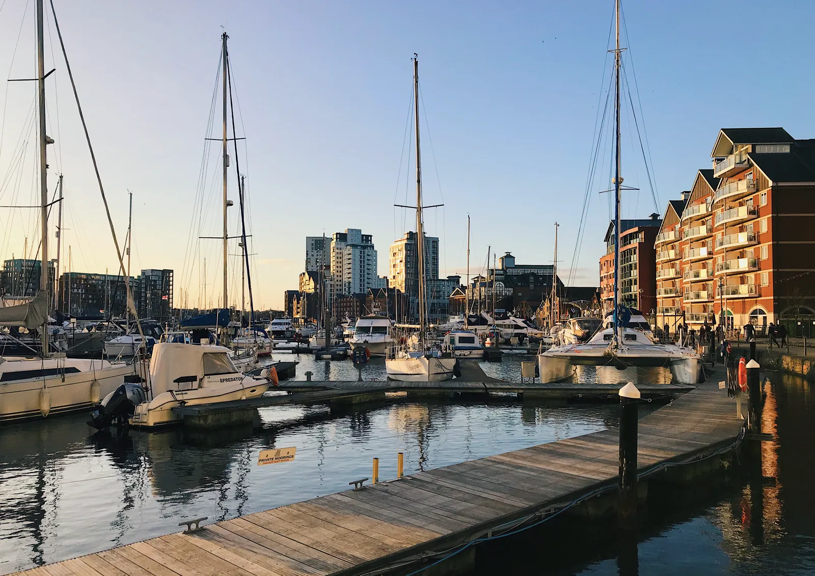
Ipswich is in the area of Ipswich Borough Council. It is the county town of Suffolk around the official Central Conservation Area and the River Orwell, quite unlike Felixstowe or Woodbridge. The adopted Ipswich Local Plan Review 2018-2036 applies here. The Central Conservation Area and the River Orwell are the official features that shape topographical survey work here. Suffolk County Council is the Lead Local Flood Authority. There is no confirmed successor council for Ipswich.
In Ipswich, including around the Central Conservation Area and at the River Orwell, the same adopted local plan policies apply. Ipswich Borough Council uses topographical information to assess proposals around official features, including the Central Conservation Area and the River Orwell. Policy DM9 (Protection of Trees and Hedgerows) of the Ipswich Local Plan Review 2018-2036, adopted on 23 March 2022, provides that the Council will protect existing trees and seek to secure additional trees that increase canopy cover in the interests of amenity and biodiversity, including by making Tree Preservation Orders and by refusing planning permission for development resulting in the loss or deterioration of trees or vegetation of amenity, historic, cultural or ecological value unless the need for, and benefits of, the development in that location clearly outweigh the loss. Planning permission for development resulting in the loss or deterioration of ancient woodland and ancient or veteran trees (irreplaceable habitats) will be refused, unless there are wholly exceptional reasons and a suitable compensation strategy exists. Applications affecting trees or hedgerows must be accompanied by a BS5837 survey and assessment by a competent arboriculturist, details of protective measures, and, where a mature or semi-mature tree or hedgerow is to be removed, a plan for replacement planting on a two for one basis or better unless otherwise agreed by the Council. Confirm the current validation requirements with the council before submitting.
Local plan: Ipswich Local Plan Review 2018-2036 (adopted)
DM9: Protection of Trees and Hedgerows
Policy DM9 (Protection of Trees and Hedgerows) of the Ipswich Local Plan Review 2018-2036, adopted on 23 March 2022, provides that the Council will protect existing trees and seek to secure additional trees that increase canopy cover in the interests of amenity and biodiversity, including by making Tree Preservation Orders and by refusing planning permission for development resulting in the loss or deterioration of trees or vegetation of amenity, historic, cultural or ecological value unless the need for, and benefits of, the development in that location clearly outweigh the loss. Planning permission for development resulting in the loss or deterioration of ancient woodland and ancient or veteran trees (irreplaceable habitats) will be refused, unless there are wholly exceptional reasons and a suitable compensation strategy exists. Applications affecting trees or hedgerows must be accompanied by a BS5837 survey and assessment by a competent arboriculturist, details of protective measures, and, where a mature or semi-mature tree or hedgerow is to be removed, a plan for replacement planting on a two for one basis or better unless otherwise agreed by the Council.
DM8: The Natural Environment
Policy DM8 (The Natural Environment) of the Ipswich Local Plan Review 2018-2036, adopted on 23 March 2022, requires all development to incorporate measures to provide net gains for biodiversity. Proposals which would result in significant harm or net loss to biodiversity, having appropriate regard to the mitigation hierarchy, will not normally be permitted. Sites of Special Scientific Interest will be protected from development which would have an adverse effect on their natural value, and proposals which would have an adverse impact on European protected sites will not be permitted unless imperative reasons of overriding public interest exist. The policy does not set a higher than statutory biodiversity net gain percentage. Ipswich Borough Council applies the statutory 10 per cent minimum.
DM4: Development and Flood Risk
Policy DM4 (Development and Flood Risk) of the Ipswich Local Plan Review 2018-2036, adopted on 23 March 2022, provides that development will only be approved where it can be demonstrated that the sequential test set out in national policy is met, other than on allocated sites where the sequential test will not need to be repeated for uses consistent with the allocation; that if it is not possible for the development to be located in a zone at lower risk of flooding, the sustainability benefits would outweigh the flood risk and the development will remain safe for people for its lifetime; and that it will not increase the overall risk of all forms of flooding in the area or elsewhere through the layout, design and form of the development and the appropriate application of Sustainable Drainage Systems (SuDS).
General guidance for topographical survey, not formal advice for your site.
Ipswich Borough Council. Suffolk County Council is the Lead Local Flood Authority. There is no confirmed successor council for Ipswich.
A topographical survey in Ipswich is often needed to record levels, trees and built form in the Central Conservation Area or at the River Orwell before a planning application is drawn up. Confirm the current validation requirements with the council.
Accurate levels and feature locations help show how a proposal relates to the Central Conservation Area and the River Orwell, including trees, water and built form. Confirm the current validation requirements with the council.
No other published town guides for this survey in the council area yet.