Featured partner
Recommended for Kensington

ROAVR Group
Tree, ecology, flood risk and topographical surveys for planning applications.
4.9 Google rating
Get a quote
Local experts.
Featured partner
Recommended for Kensington
Tree, ecology, flood risk and topographical surveys for planning applications.
4.9 Google rating
Local experts.
Land and building surveying company with offices in Surrey (Dunsfold Park), London,…
Land survey practice based in Harrow, West London.
Measured building and land surveyors trading from 111 Gosterwood Street in Deptford, in…
Land and measured-building survey practice with a London office in Crystal Palace.
An accurate topographical survey of levels, trees, buildings and boundaries is the usual base plan for a BS 5837 tree survey and for drainage design in Kensington. In the Kensington Palace Conservation Area, around Kensington Square and beside Kensington Gardens, it shows how a proposal sits on tight High Street and mews plots, where basement levels relate to the street, and how overland flow would move in a storm. The Royal Borough of Kensington and Chelsea expects trees of value to be plotted and protected, including their root protection areas, and it requires surface water flood risk to be understood from the outset. Flood risk assessments and SuDS schemes depend on reliable levels.
Local planning authority: Royal Borough of Kensington and Chelsea
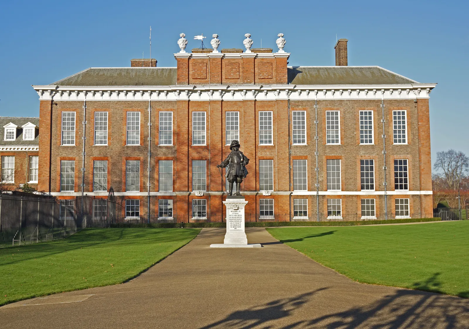
Sites in the Kensington Palace Conservation Area, beside Kensington Gardens and around Kensington Square need accurate levels and tree positions. A topographical survey supports Policy GB16 and the flood-risk work required under Policies GB11 and GB12, including surface water flood risk.
The Royal Borough of Kensington and Chelsea relies on accurate site information to apply Policy GB16 on trees and Policies GB11 and GB12 on flood risk and drainage in the Local Plan 2024, adopted on 24 July 2024. Confirm the current local validation requirements with the council before submitting.
Local plan: Local Plan 2024 (The Local Plan 2024 was adopted on 24 July 2024 and is the adopted local plan. The London Plan, published on 2 March 2021, also forms part of the development plan. There is no 2027 successor council for this borough.)
GB16: Trees
Policy GB16 of the Local Plan 2024, adopted on 24 July 2024, resists the loss of trees of amenity, historic or ecological value, except where a tree is dead, dying or dangerous, is demonstrated as causing significant damage to adjacent structures, or felling is for reasons of good arboricultural practice. It also resists development which results in the damage or loss of trees of townscape or amenity value, or which gives rise to a threat to their continued well-being. Trees must be adequately protected throughout the course of development, including identified root protection areas. Where practicable, any tree that is felled must be replaced with one of a suitable size, with safeguarding so that the new tree has the best possible opportunity of reaching maturity. New trees must be of a suitable species for the location and compatible with the surrounding landscape and townscape.
GB14: Green and Blue Infrastructure
Policy GB14 requires development to contribute to the greening of the borough, enhance habitat to increase biodiversity, and protect or enhance nearby waterways. Major residential development must achieve an Urban Greening Factor score of 0.4 and major non-residential development a score of 0.3. Development proposals must protect biodiversity in and adjacent to Sites of Importance for Nature Conservation. A site-specific Ecological Impact Assessment is required for all major development. Relevant development, including major development, must achieve a minimum on-site biodiversity net gain of 10 per cent; where that is robustly shown not to be achievable on site, adequate mitigation should be provided on an alternative site or, as a last resort, through the biodiversity credit system. A Biodiversity Net Gain Strategy is required for development adjacent to the River Thames. The policy does not set a percentage above the statutory 10 per cent minimum.
GB11: Flood Risk
Policy GB11 requires development to address and reduce flood risk and its impacts. Highly vulnerable development, including self-contained basement dwellings, will not be permitted in Flood Zone 3 and Critical Drainage Areas, and sleeping accommodation will not be permitted below ground floor level in Flood Zone 3. A site-specific flood risk assessment is required for all development in Flood Zones 2 and 3, all sites greater than one hectare, all basement development, and development in Critical Drainage Areas where there is a change to a more vulnerable use, an increase in habitable units, or sleeping accommodation below ground level. Development at risk from any source must incorporate suitable flood risk measures, including an allowance for climate change, assessment of a breach in the tidal defences, an emergency plan, and a suitable pumped device for basements connected to the sewer network. New development adjacent to the River Thames and Chelsea Creek must be set back by 16 metres from the Thames flood defence.
GB12: Sustainable Drainage
Policy GB12 requires development to contribute towards a reduction in the rate and volume of surface water run-off into the combined sewer network through measures that promote multifunctional benefits. Development proposals must aim to achieve greenfield run-off rates. Householder applications must reduce the rate of runoff in a way that is proportionate to the scale of development and reflects site constraints. Only where it can be clearly demonstrated that an on-site reduction to greenfield rates is not possible should alternative approaches be considered.
General guidance for topographical survey, not formal advice for your site.
The Royal Borough of Kensington and Chelsea. The London Plan also forms part of the development plan. The borough is the Lead Local Flood Authority. There is no 2027 successor council for this borough.
It supports the tree protection expected under Policy GB16 and the flood risk and drainage work required by Policies GB11 and GB12, especially in the Kensington Palace Conservation Area, beside Kensington Gardens and around Kensington Square.
Yes. The London Plan, published on 2 March 2021, forms part of the development plan. Policy G7 and Policies SI12 and SI13 are the London Plan policies most often read alongside a site survey.