Featured partner
Recommended for Lewes

ROAVR Group
Tree, ecology, flood risk and topographical surveys for planning applications.
4.9 Google rating
Get a quote
Local experts.
Featured partner
Recommended for Lewes
Tree, ecology, flood risk and topographical surveys for planning applications.
4.9 Google rating
Local experts.
Independent family-run land surveying practice whose own contact page publishes an…
Land survey practice whose own contact page publishes a Worthing address at 15 Cherry…
Land and measured survey practice whose own contact and topographical pages publish a…
A topographical survey in Lewes is often needed where work could affect the Lewes Conservation Area, or the Malling Deanery Conservation Area. South Downs National Park Authority is the local planning authority. Accurate levels are often needed around the Lewes Conservation Area and at the Malling Deanery Conservation Area before a planning application is drawn up, including on sites that may sit in areas of flood risk or where historic buildings and trees need to be recorded. It is the historic county town and one of the South Downs National Park’s main market towns, around the Lewes Conservation Area and the Malling Deanery Conservation Area, quite unlike Midhurst, the Park’s market town in West Sussex. The adopted South Downs Local Plan 2014–2033 applies here. Confirm the current validation requirements with the council before submitting.
Local planning authority: South Downs National Park Authority
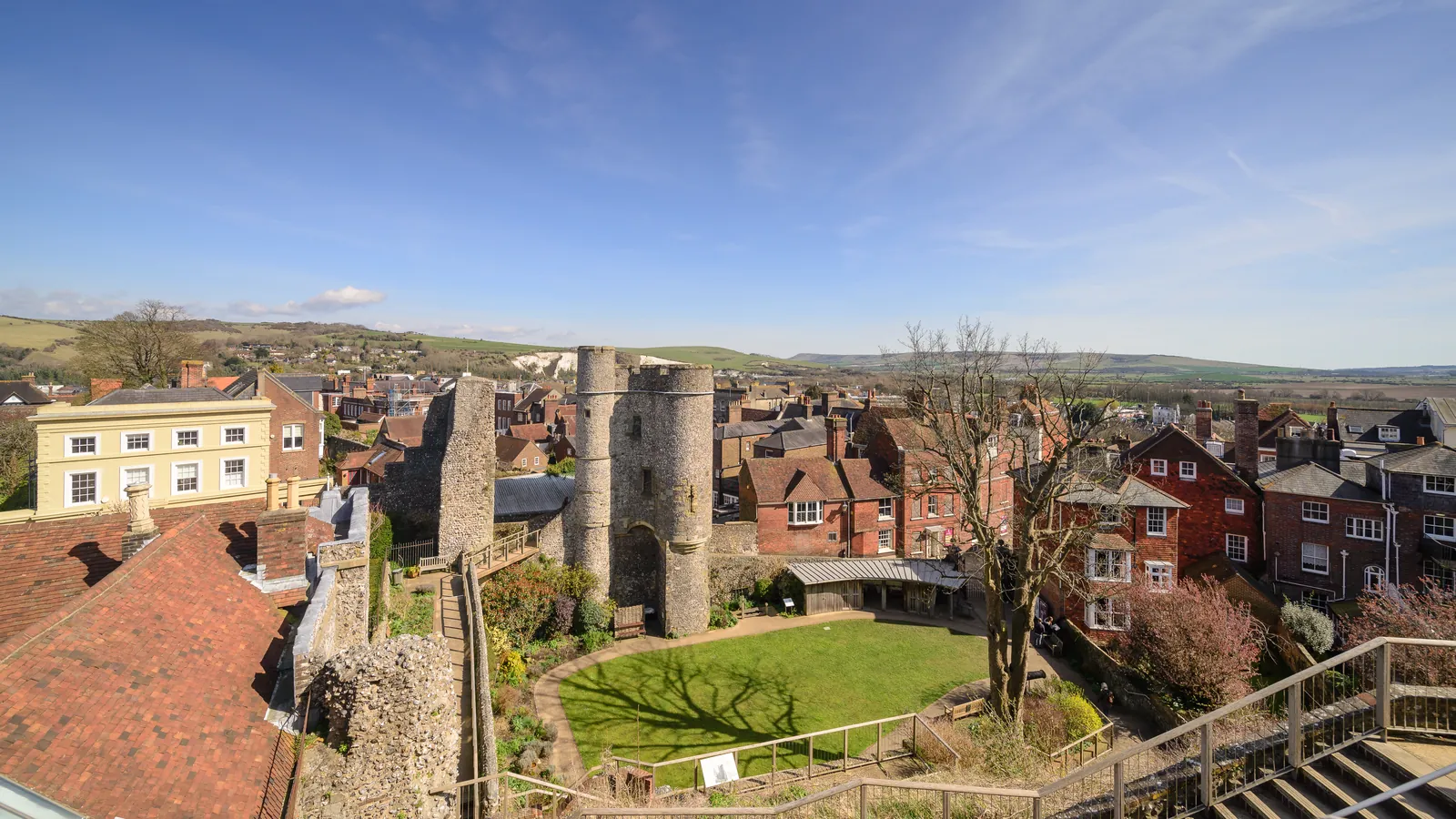
Lewes is in the area of South Downs National Park Authority. It is the historic county town and one of the South Downs National Park’s main market towns, around the Lewes Conservation Area and the Malling Deanery Conservation Area, quite unlike Midhurst, the Park’s market town in West Sussex. The adopted South Downs Local Plan 2014–2033 applies here. The Lewes Conservation Area and the Malling Deanery Conservation Area are the official features that shape topographical survey work here. East Sussex County Council is the Lead Local Flood Authority. There is no confirmed 2027 successor council for East Sussex. There is no confirmed 2027 successor for the South Downs National Park Authority.
In Lewes, including around the Lewes Conservation Area and at the Malling Deanery Conservation Area, the same adopted local plan policies apply. South Downs National Park Authority will need accurate site levels and features around the Lewes Conservation Area and at the Malling Deanery Conservation Area to support planning drawings, tree protection and, where relevant, flood risk assessment under Strategic Policy SD49. Confirm the current validation requirements with the council before submitting.
Local plan: South Downs Local Plan 2014-2033 (adopted)
SD50: Sustainable Drainage Systems
Development Management Policy SD50 (Sustainable Drainage Systems) of the South Downs Local Plan 2014–2033, adopted on 2 July 2019, permits development proposals where they ensure that there is no net increase in surface water run-off, taking account of climate change, and requires suitable sustainable drainage systems on major development unless it is demonstrated to be inappropriate.
General guidance for topographical survey, not formal advice for your site.
South Downs National Park Authority. East Sussex County Council is the Lead Local Flood Authority. There is no confirmed 2027 successor council for East Sussex. There is no confirmed 2027 successor for the South Downs National Park Authority.
A topographical survey in Lewes is often needed to record levels and site features in the Lewes Conservation Area or at the Malling Deanery Conservation Area before a planning application is drawn up. Confirm the current validation requirements with the council.
Accurate levels matter in the Lewes Conservation Area and at the Malling Deanery Conservation Area, including on sites that may sit in areas of flood risk or where historic buildings and trees need to be recorded. Confirm the current validation requirements with the council.