Featured partner
Recommended for Richmond upon Thames

ROAVR Group
Tree, ecology, flood risk and topographical surveys for planning applications.
4.9 Google rating
Get a quote
Local experts.
Featured partner
Recommended for Richmond upon Thames
Tree, ecology, flood risk and topographical surveys for planning applications.
4.9 Google rating
Local experts.
Land and building surveying company with offices in Surrey (Dunsfold Park), London,…
Surveying and construction consultancy with its head office at Merrow Business Park in…
Land surveying company based in Shere, in Guildford borough.
Measured survey company founded in Cranleigh and now based in Camberley, with a second…
The drop from Richmond Hill into Richmond town centre, and the River Thames frontage below it, is why levels matter so much in Richmond upon Thames. A topographical survey should pick up that slope, the river wall and trees in the Central Richmond Conservation Area so that a Policy 8 flood risk assessment and a Policy 42 tree survey are based on the site as it is. The local planning authority is the London Borough of Richmond upon Thames. Even a modest change in threshold level on the riverside can alter both the flood model and the space allowed for retained trees.
Local planning authority: London Borough of Richmond upon Thames
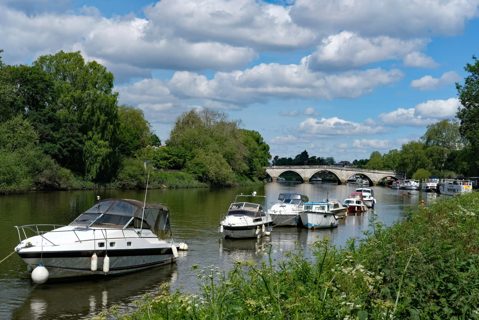
Richmond town centre sits on the River Thames below Richmond Hill, with changing bank, terrace and threshold levels, and a substantial tree resource in the Central Richmond Conservation Area and on the edge of Richmond Park. A survey should be coordinated with any flood risk or tree work.
The London Borough of Richmond upon Thames will expect drawings that rely on site levels, including flood risk assessments under Policy 8 and tree surveys under Policy 42, to be based on a competent topographical survey, alongside Policy SI 12 of the London Plan, published on 2 March 2021. There is no separate local-plan policy titled for topographical surveys, so confirm drawing standards and any validation requirements with the council before submitting.
Local plan: Richmond upon Thames Local Plan 2024 to 2039 (adopted 7 October 2025) and The London Plan 2021 (published 2 March 2021) (The Richmond upon Thames Local Plan 2024 to 2039 was adopted on 7 October 2025 and is the adopted borough development plan as of 13 November 2026. It replaces the previous Local Plan Review 2015-18 and the Twickenham Area Action Plan 2013. The London Plan 2021, published on 2 March 2021, also forms part of the development plan. The draft London Plan 2026 is in consultation and is not adopted. There is no 2027 successor council. The London Borough of Richmond upon Thames is the local planning authority and the Lead Local Flood Authority.)
42: Trees, Woodland and Landscape
Requires the protection of existing trees and the provision of new trees in accordance with London Plan Policy G7. The council will resist the loss of trees, including veteran trees, except in limited circumstances, require sufficient space for crowns and roots, require tree protection to BS5837, and require an appropriate replacement for any tree that is felled or, where that is not practicable, a financial contribution using CAVAT.
39: Biodiversity and Geodiversity
Protects designated sites, including SACs, SSSIs, LNRs and SINCs, priority habitats and ecological corridors. Development should deliver measurable net gains for biodiversity. A minimum measurable 10 per cent net gain, using the latest DEFRA metric, is required for proposals that result in one dwelling or more, and for non-residential proposals that increase footprint or floorspace. The mitigation hierarchy must be followed.
G6: Biodiversity and access to nature
London Plan Policy G6 requires development proposals to manage impacts on biodiversity and aim to secure net biodiversity gain. Sites of Importance for Nature Conservation should be protected.
G7: Trees and woodlands
Requires existing trees of value to be retained wherever possible, with adequate replacement if they are removed, using a method such as i-Tree or CAVAT.
8: Flood Risk and Sustainable Drainage
A strategic policy requiring all development to be safe for its lifetime and to avoid or reduce contributing to all sources of flooding, taking account of climate change and not increasing flood risk elsewhere. The sequential test, and where necessary the exception test, apply. Mitigation and resilience, including finished floor levels and flood storage, should follow the Strategic Flood Risk Assessment, with advice from the Lead Local Flood Authority and the Environment Agency. Flood Emergency Plans are required for qualifying proposals in Flood Zones 2 and 3 or in areas at risk of surface water flooding.
SI 12: Flood risk management
Requires development proposals to minimise and mitigate flood risk and address residual risk, including, where possible, making space for water and setting development back from watercourses. In London the boroughs are the Lead Local Flood Authorities.
General guidance for topographical survey, not formal advice for your site.
The London Borough of Richmond upon Thames. The London Plan also forms part of the development plan. The borough is the Lead Local Flood Authority. There is no 2027 successor council for this borough.
Richmond town centre sits on the River Thames below Richmond Hill. Bank, terrace and threshold levels affect both flood risk assessments and the character of the hillside and riverside.
Yes. A tree survey under Policy 42 and a flood risk assessment under Policy 8 both rely on accurate positions and levels, including water edges and canopy spreads.
No other published town guides for this survey in the council area yet.