Featured partner
Recommended for Rochester

ROAVR Group
Tree, ecology, flood risk and topographical surveys for planning applications.
4.9 Google rating
Get a quote
Local experts.
Featured partner
Recommended for Rochester
Tree, ecology, flood risk and topographical surveys for planning applications.
4.9 Google rating
Local experts.
Land survey practice based at Shrine Barn, Sandling Road, Hythe.
Land survey practice with offices in Canterbury and Tunbridge Wells.
Chartered land surveying practice in Ashford, Kent.
Land and topographic survey practice with a South East office at Vinters Business Park,…
A topographical survey in Rochester is often needed to record levels and features around the Historic Rochester Conservation Area and Rochester Castle. Medway Council is the local planning authority. Measured levels matter on the rise from the Medway to Rochester Castle and along the High Street. Rochester is a cathedral city around the castle and the High Street, quite unlike the dockyard town of Chatham immediately to the east. Measured plans support tree surveys, flood risk assessments and layout drawings. Confirm the current validation requirements with the council before submitting.
Local planning authority: Medway Council
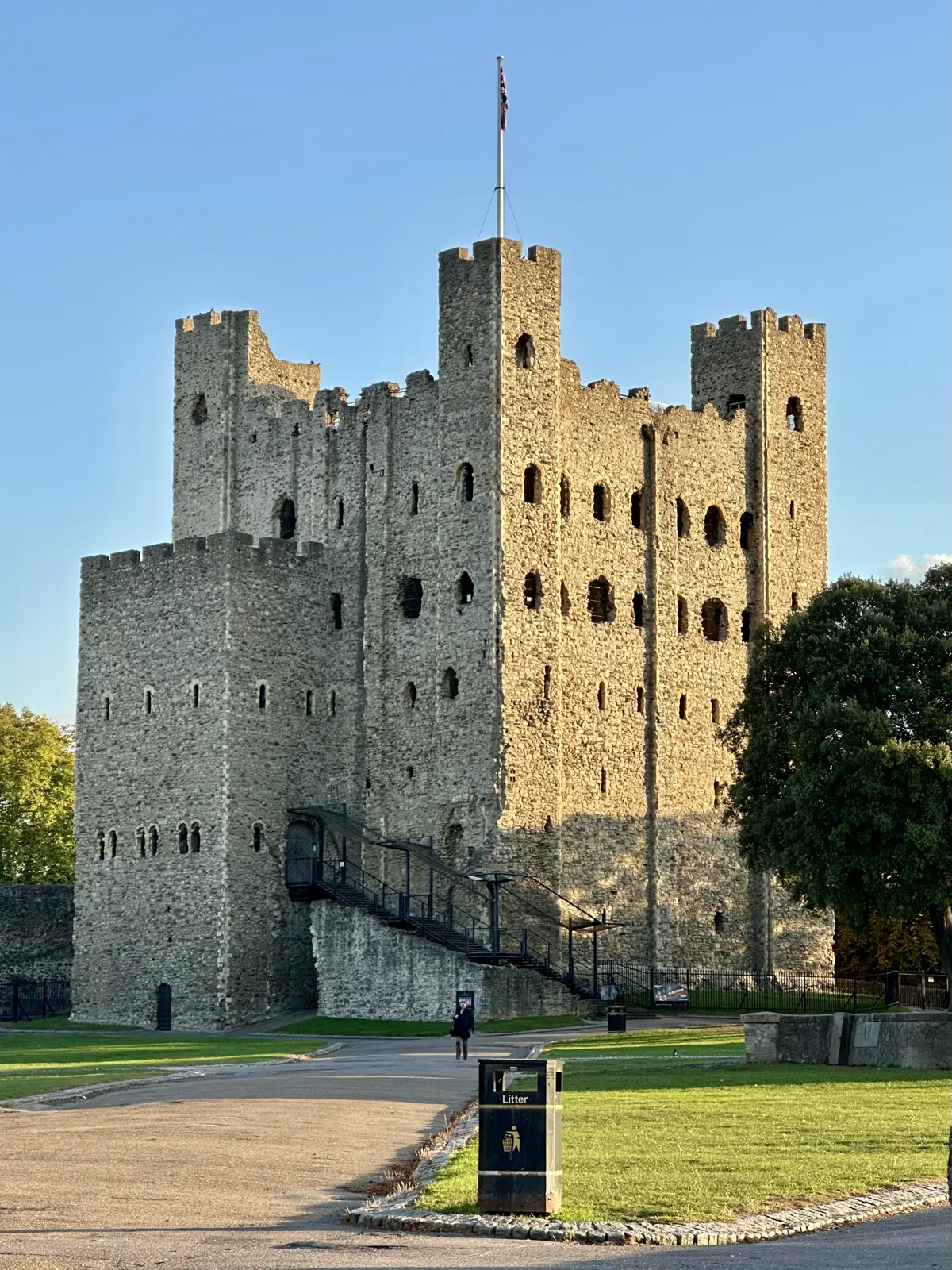
Rochester is in the area of Medway Council. Rochester is a cathedral city around the castle and the High Street, quite unlike the dockyard town of Chatham immediately to the east. Historic Rochester Conservation Area and Rochester Castle are the official features that shape survey work here. Medway Council is the Lead Local Flood Authority. There is no confirmed 2027 successor council for Kent.
In Rochester, including around Historic Rochester Conservation Area and Rochester Castle, the same adopted local plan policies apply. Medway Council will expect drawings that rely on site levels, including flood risk assessments under Policy CF13 and tree surveys under Policy BNE43, to be based on a competent topographical survey. There is no single named topographical survey policy. Medway Council is the Lead Local Flood Authority. Confirm the current validation requirements with the council before submitting.
Local plan: Medway Local Plan 2003 (The Medway Local Plan 2003, with its saved policies, remains the adopted development plan as of 15 November 2026.)
BNE37: Wildlife Habitats
Protects wildlife habitats and requires mitigation or compensation where habitat would be lost or harmed.
BNE39: Protected Species
Requires effects on protected species to be assessed and addressed, together with national protected-species law.
General guidance for topographical survey, not formal advice for your site.
Medway Council. There is no confirmed 2027 successor council for Kent. Medway Council is the Lead Local Flood Authority.
A measured survey is often needed to record levels and features around the Historic Rochester Conservation Area and Rochester Castle. Measured levels matter on the rise from the Medway to Rochester Castle and along the High Street. Confirm the current validation requirements with the council.
Measured plans support tree surveys, flood risk assessments and layout drawings.